Browse / Australia / Victoria / Charlton
Charlton
Victoriatown

Charlton
Total population
993
Demographic figures from Australian Bureau of Statistics. Overview below cites Wikipedia and may reference a different year.
City facts
Facts from Wikidata (CC0).
Overview
Charlton is a town in western Victoria, Australia. It is a small agricultural community straddling the Avoca River, located at the junction of the Calder Highway (A79) and Borung Highway (C239) and positioned in the last of the foothills of the Great Dividing Range. Halfway between Melbourne and Mildura, Charlton is a popular tourist stop. Charlton is host to the OK Motels Music festival held in February.
Read more on WikipediaHistory & geography
History
The traditional owners of the region are the Jaara people, part of the Djadjawurrung language group of the Kulin nation. They called the area "Youanduk", meaning a basin in a rock, because there were a number of depressions in the local rocks providing a reliable water supply. The names of surrounding agricultural districts reflect the legacy of the First Nations inhabitants: Barrakee, Buckrabanyule, Woosang, Wooroonook and Yeungroon. After extensive travels throughout the region by Major Thomas Mitchell, settlement by Europeans commenced in 1848 when the squatters Robert Cay and William Kaye established a station and named the region after Charlton near Greenwich, England. Unlike many other towns in the region, Charlton was not established as a result of gold mining, but for pastoral purposes and the proximity to a permanent water supply provided by the Avoca River. The town was originally named East Charlton due to its location on the eastern banks of the Avoca River, and because another Victoria town was already named Charlton (renamed Chute in 1879). The East Charlton Post Office opened on 21 December 1876 (renamed Charlton in 1879) replacing an earlier (1854) office nearby named Yowen Hill. The first bridge crossing the river was erected in 1867 by James Paterson, allowing expansion on both sides of the river. Throughout the history of Charlton, the Avoca River has been known for its regular flooding after heavy rain. Floods have often surrounded the town or, on rare occasions, flooded the town itself. Levee banks were constructed to their present levels in the 1950s, but parts of the town were flooded in September 2010. Minor flooding occurred again in December 2010, with the highest-ever recorded flood level inundating the town in January 2011, some homes…
Excerpted from the corresponding Wikipedia article (CC BY-SA).
Geography
Coordinates & boundaries from the US Census TIGER/Line shapefiles.
Climate
10-year averages from ERA5 reanalysis (Open-Meteo).
Air quality
Walkability
Amenities nearby
Wildlife & biodiversity
Most-observed species
- Australian MagpieGymnorhina tibicen (Latham, 1802) · Aves251
- GalahEolophus roseicapilla (Vieillot, 1817) · Aves185
- Red-rumped ParrotPsephotus haematonotus (Gould, 1838) · Aves156
- White-plumed HoneyeaterPtilotula penicillata (Gould, 1837) · Aves140
- Eastern RosellaPlatycercus eximius (Shaw, 1792) · Aves123
- Willie-wagtailRhipidura leucophrys (Latham, 1802) · Aves120
- Magpie-larkGrallina cyanoleuca (Latham, 1802) · Aves106
- Welcome SwallowHirundo neoxena Gould, 1842 · Aves103
Citizen-science & research observations from the Global Biodiversity Information Facility (GBIF).
Earthquake history
Most recent
- M 3 — 2018-07-2318 km S of Cohuna, Australia
- M 2.7 — 2007-12-0938 km SE of Charlton, Australia
- M 2.9 — 2002-04-1945 km N of Charlton, Australia
Events from the USGS Earthquake Catalog (global) (FDSN Event Web Service).
Photos
Sights & places nearby
Notable people from here


People born within ~10 km, from Wikidata (CC0). Click any name for their Wikipedia article.
Nearby places in Victoria
- Wychitella13.8 mi away
- Korong Vale20.5 mi away · pop. 145
- Wedderburn Junction21.6 mi away
- Mysia22.7 mi away
- Gredgwin25.6 mi away
- Traynors Lagoon28.6 mi away
- Fernihurst28.8 mi away
- Quambatook30.4 mi away · pop. 185
- Nullawil30.4 mi away
- Bears Lagoon35 mi away
- Inglewood35.6 mi away · pop. 779
- Tittybong35.8 mi away
Geography & sun
Elevation, sunrise/sunset and daylight from Open-Meteo. Solar climatology from NASA POWER.
Nearby airports
Public attention
Pageview totals from the Wikimedia Pageviews API.
Books about Charlton

Search results from Open Library.
Recent natural events nearby
Ground air-quality sensors
Recently spotted species
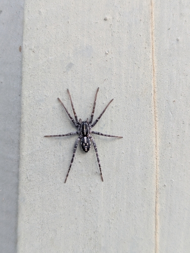
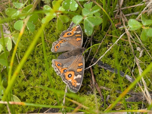
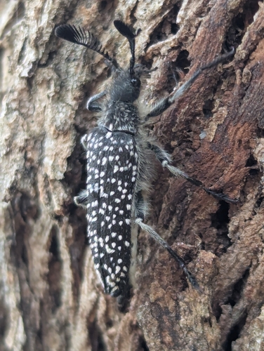
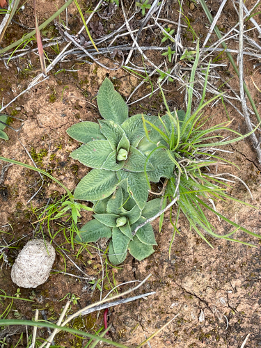
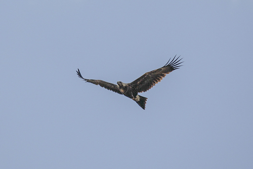
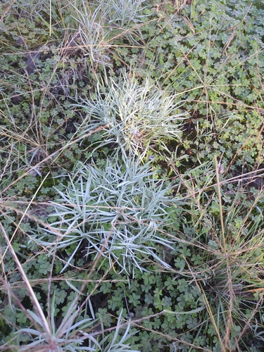
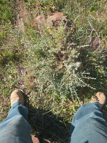
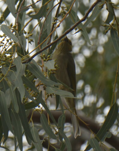
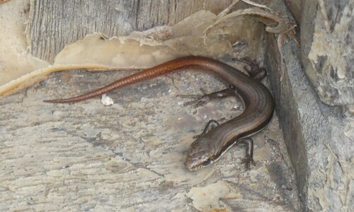
Research-grade observations from iNaturalist (within ~15 mi).
Events
Gallery
Sources
- • Wikipedia
- • Open-Meteo (ERA5 reanalysis)
- • Wikidata
- • USGS Earthquake Catalog (global feed)
- • GBIF (Global Biodiversity Information Facility)
- • iNaturalist
- • Open-Meteo / sunrise-sunset.org
- • Wikipedia Pageviews API
- • Open Library