Browse / Australia / Queensland / Coen
Coen
Queenslandtown

Coen
Total population
279
Air quality index
Demographic figures from Australian Bureau of Statistics. Overview below cites Wikipedia and may reference a different year.
City facts
Facts from Wikidata (CC0).
Overview
Coen is a rural town and coastal locality in the Shire of Cook, Queensland, Australia. The town is situated inland, on the Peninsula Developmental Road, the main road on the Cape York Peninsula in far north Queensland. The community is quite busy, particularly in the dry season, because tourists and visitors travelling on the Peninsula Development Road up to the tip of Cape York have to pass through the town.
Read more on WikipediaHistory & geography
History
The Coen area is the traditional homeland of the Kaanju people. In 1623, Jan Carstensz, the navigator of the ship Pera of the Dutch East India Company, named a river on Cape York Peninsula after Jan Pieterszoon Coen, the Governor-General of the Dutch East Indies. Today that river is known as the Archer River and the name Coen River is given to one of its tributaries. Coen Provisional School opened on 6 May 1895. On 1 January 1909, it became Coen State School. It closed in 1929 but reopened circa 1948. In January 2010, it became a campus of the Western Cape College. In January 2012, it became a campus of the Cape York Aboriginal Australian Academy. In 1897, the Queensland Parliament passed the Aboriginal Protection and Restriction of the Sale of Opium Act 1897, which granted the Home Secretar the power "to cause every aboriginal within any District, not being an aboriginal exempted from the provisions of this section, to be removed to, and kept within the limits of, any reserve situated within such District, in such manner, and subject to such conditions, as may be prescribed". Over 300 Aboriginal people were removed from the Coen district to Aboriginal reserves. Almost half of those removed were sent to Palm Island. Included in this number were the Lama Lama people of the Stewart River area who had been dispossessed of their lands by European pastoral expansion into their country in the late 19th century. They formed a community at the Stewart River on what is now Silver Plains Station, near the site of the Moojeeba township. In the 1930s, they were removed to Lockhart River Mission but later returned to Port Stewart. In May 1944, 14 acres were gazetted near Coen as an Aboriginal reserve. The reserve was located south of the town on the Coen River between Oscar…
Geography
The locality of Coen is on the eastern side of the Cape York Peninsula with the Coral Sea forming its eastern boundary. Part of the northern boundary follows the Archer River, while the Coen River forms part of its western boundary. The Peninsula Developmental Road runs roughly north to south through the locality. Port Stewart is a town also on the northern bank of the Stewart River but closer to the river mouth into the Coral Sea ().
Excerpted from the corresponding Wikipedia article (CC BY-SA).
Geography
Coordinates & boundaries from the US Census TIGER/Line shapefiles.
Climate
10-year averages from ERA5 reanalysis (Open-Meteo).
Air quality
Current readings from Open-Meteo Air Quality API (Copernicus CAMS European reanalysis).
Walkability
Amenities nearby
Wildlife & biodiversity
Most-observed species
- Torresian CrowCorvus orru Bonaparte, 1850 · Aves98
- Rainbow LorikeetTrichoglossus haematodus (Linnaeus, 1771) · Aves53
- Pied CurrawongStrepera graculina (Shaw, 1790) · Aves52
- Green OrioleOriolus flavocinctus (King, 1826) · Aves49
- Sulphur-crested CockatooCacatua galerita (Latham, 1790) · Aves46
- GalahEolophus roseicapilla (Vieillot, 1817) · Aves42
- Blue-faced HoneyeaterEntomyzon cyanotis (Latham, 1801) · Aves38
- Magpie-larkGrallina cyanoleuca (Latham, 1802) · Aves35
Citizen-science & research observations from the Global Biodiversity Information Facility (GBIF).
Earthquake history
Events from the USGS Earthquake Catalog (global) (FDSN Event Web Service).
Photos
Sights & places nearby
Notable people from here
Nearby places in Queensland
- Aurukun106.9 mi away · pop. 1,101
- Bramwell Junction135 mi away
- Laura139.4 mi away · pop. 101
- Kowanyama143.6 mi away · pop. 1,079
- Marton168.4 mi away
- Lakeland172.6 mi away
- Rossville186.1 mi away
- Wujal Wujal197.8 mi away · pop. 276
- Ayton198.3 mi away
- Daintree Village212.9 mi away · pop. 93
- Injinoo218 mi away · pop. 493
- Bamaga218.1 mi away · pop. 1,180
Geography & sun
Elevation, sunrise/sunset and daylight from Open-Meteo. Solar climatology from NASA POWER.
Nearby airports
Public attention
Pageview totals from the Wikimedia Pageviews API.
Books about Coen
Search results from Open Library.
Recent natural events nearby
Ground air-quality sensors
Recently spotted species
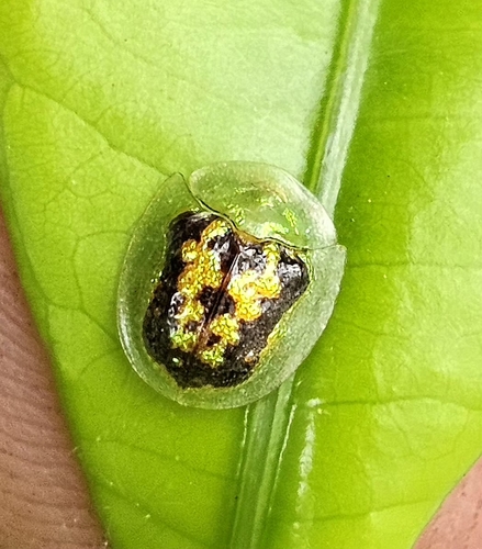
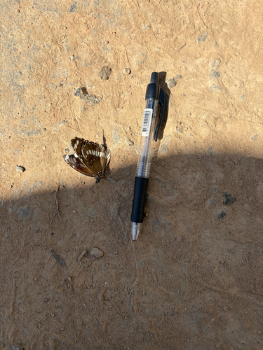
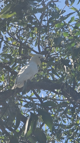
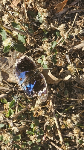
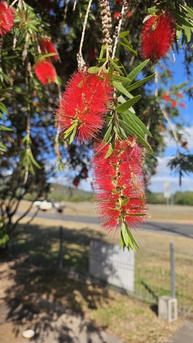
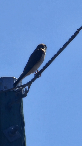
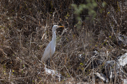
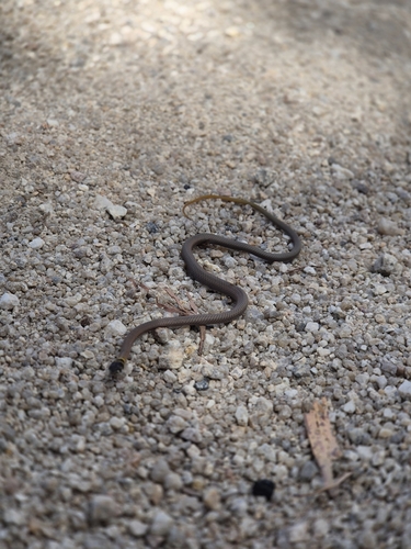
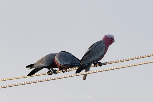
Research-grade observations from iNaturalist (within ~15 mi).
Events
Gallery
Geotagged photos within ~6 miles of Coen, from Wikimedia Commons contributors.
 0 mi
0 mi 0 mi
0 mi 0 mi
0 mi 0 mi
0 mi 0 mi
0 mi 0 mi
0 mi 0 mi
0 mi 0 mi
0 mi 0 mi
0 mi 0 mi
0 mi 0 mi
0 mi 0 mi
0 mi 0 mi
0 mi 0 mi
0 mi 0.1 mi
 0.1 mi
 0.1 mi
 0.1 mi
 0.1 mi
 0.1 mi
 0.1 mi
 0.1 mi
 0.1 mi
_(1995).jpg) 0.3 mi
0.3 miPhotos via Wikimedia Commons — see each image page for license & attribution.
Sources
- • Wikipedia
- • Open-Meteo (ERA5 reanalysis)
- • Wikimedia Commons
- • Wikidata
- • Open-Meteo Air Quality (CAMS)
- • USGS Earthquake Catalog (global feed)
- • GBIF (Global Biodiversity Information Facility)
- • iNaturalist
- • Open-Elevation
- • Open-Meteo / sunrise-sunset.org
- • Wikipedia Pageviews API
- • Open Library