Browse / Australia / South Australia / Coober Pedy
Coober Pedy
South Australiatown

Coober Pedy
Total population
1,437
Founded
1915
Air quality index
Demographic figures from Australian Bureau of Statistics. Overview below cites Wikipedia and may reference a different year.
City facts
Facts from Wikidata (CC0).
Overview
Coober Pedy is a town in northern South Australia, 846 km (526 mi) north of Adelaide on the Stuart Highway. The town is sometimes referred to as the "opal capital of the world" because of the quantity of precious opals mined there. A blower truck is raised above the town sign, representing the importance of opal mining to the town's history. Coober Pedy is also renowned for its below-ground dwellings, called "dugouts", which are built in this fashion due to the scorching daytime heat.
Read more on WikipediaHistory & geography
History
Aboriginal people have a longstanding connection with the area. The name of the town (decided in 1920)}} Further investigation into the words by linguists shows that kupa may have originated from the Parnkalla language and that piti may be the Kokatha word specifically created for "quarry" (a white man's activity). In 1858, Scottish-born John McDouall Stuart was the first European explorer to pass near the site of Coober Pedy. Opal miners started moving in around 1916. The name has since been used for various establishments in the town (Umoona Opal Mine and Museum, Umoona Community Art Centre, Umoona Tjutagku Health Service Aboriginal Corporation).
Geography
Coober Pedy is situated on the edge of the erosional scarp of the Stuart Ranges, on beds of sandstone and siltstone deep and topped with a stony, treeless desert. Very little plant life exists in town due to the region's low rainfall, the high cost of water, and lack of topsoil. The harsh summer desert temperatures mean that many residents prefer to live in caves bored into the hillsides (known as "dugouts"). A standard three-bedroom cave home with lounge, kitchen, and bathroom can be excavated out of the rock in the hillside for a price similar to building a house on the surface. However, dugouts remain at a constant temperature, while surface buildings need air conditioning, especially during the summer months, when temperatures often exceed . The relative humidity rarely exceeds 20% on these hot days, and the skies are usually cloud-free. The average maximum temperature is , but it can get quite cool in the winter. The town's water supply, managed by the District Council which operates a bore and associated treatment plant, comes from the Great Artesian Basin. Problems with ageing pipes, high water loss, and lack of subsidies contribute to consumer water charges being the highest in South Australia. Coober Pedy has a hot desert climate (Köppen: BWh), with very hot summers and mild winters. There is great seasonal variation due to the town's inland location. Average maxima vary between in January and in June; average minima range between in January and in July. The mean annual precipitation is among the lowest in Australia: . It is well-distributed, spread across 38.8 precipitation days. The town is very sunny, experiencing 173.8 clear days and only 63.7 cloudy days per year. Extreme temperatures have ranged from on 20 December 2019 and 30 January 2026 to…
Excerpted from the corresponding Wikipedia article (CC BY-SA).
Geography
Coordinates & boundaries from the US Census TIGER/Line shapefiles.
Climate
10-year averages from ERA5 reanalysis (Open-Meteo).
Air quality
Current readings from Open-Meteo Air Quality API (Copernicus CAMS European reanalysis).
Walkability
Amenities nearby
Wildlife & biodiversity
Most-observed species
- Zebra FinchTaeniopygia guttata (Vieillot, 1817) · Aves389
- White-winged FairywrenMalurus leucopterus Dumont, 1824 · Aves283
- Australian KestrelFalco cenchroides Vigors & Horsfield, 1827 · Aves275
- Black-faced WoodswallowArtamus cinereus Vieillot, 1817 · Aves274
- Singing HoneyeaterGavicalis virescens (Vieillot, 1817) · Aves242
- Crested PigeonOcyphaps lophotes (Temminck, 1822) · Aves238
- Little CrowCorvus bennetti North, 1901 · Aves233
- White-plumed HoneyeaterPtilotula penicillata (Gould, 1837) · Aves192
Citizen-science & research observations from the Global Biodiversity Information Facility (GBIF).
Earthquake history
Events from the USGS Earthquake Catalog (global) (FDSN Event Web Service).
Photos
Sights & places nearby
Notable people from here
Nearby places in South Australia
- Welbourne Hill121.6 mi away
- Oak Dam Village200.7 mi away
- Jacinth Ambrosia Village201.5 mi away
- Mount Nor West Homestead207.5 mi away
- Lyndhurst233.1 mi away · pop. 3
- Smoky Bay237.2 mi away · pop. 162
- Poochera256.2 mi away · pop. 43
- Iga-Warta Aboriginal Community273.6 mi away · pop. 7
- Wudinna281.8 mi away · pop. 516
- Nullarbor Roadhouse285.2 mi away
- Wilpena Pound288.1 mi away
- Venus Bay291.6 mi away · pop. 42
Geography & sun
Elevation, sunrise/sunset and daylight from Open-Meteo. Solar climatology from NASA POWER.
Nearby airports
Public attention
Pageview totals from the Wikimedia Pageviews API.
Books about Coober Pedy
Search results from Open Library.
Recent natural events nearby
Ground air-quality sensors
Recently spotted species
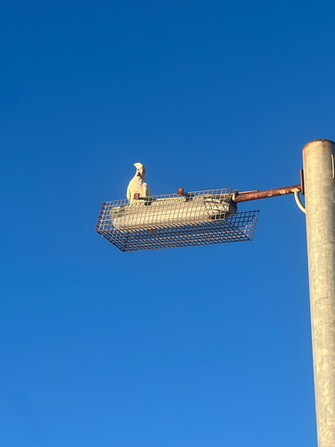
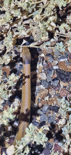
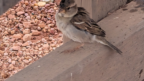
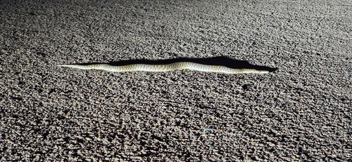
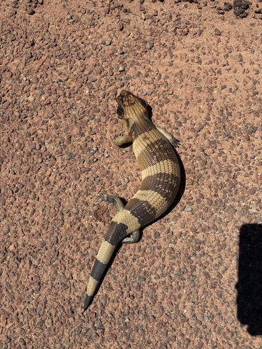
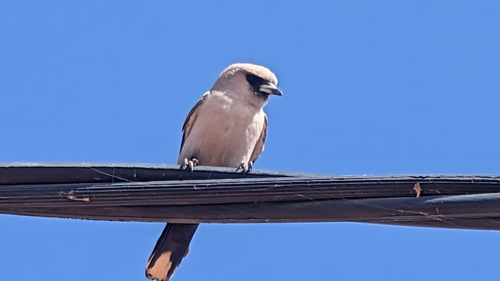
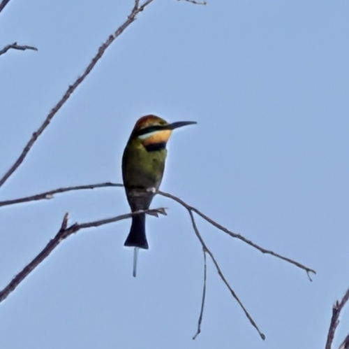
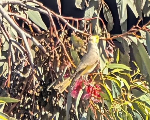
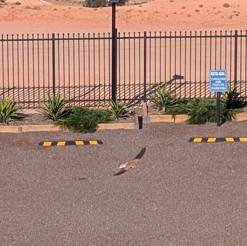
Research-grade observations from iNaturalist (within ~15 mi).
Events
Gallery
Geotagged photos within ~6 miles of Coober Pedy, from Wikimedia Commons contributors.
 0.1 mi
.jpg) 0.1 mi
0.1 mi.jpg) 0.2 mi
0.2 mi 0.2 mi
 0.2 mi
.jpg) 0.2 mi
0.2 mi 0.3 mi
.jpg) 0.3 mi
0.3 mi_(5281868515).jpg) 0.3 mi
0.3 mi 0.4 mi
 0.4 mi
 0.5 mi
 0.5 mi
 0.5 mi
 0.7 mi
 0.8 mi
.jpg) 0.8 mi
0.8 mi 0.8 mi
 0.8 mi
.jpg) 0.9 mi
0.9 mi 1.8 mi
 2.7 mi
 2.8 mi
_12Mar2022,_South_Australia.jpg) 5.3 mi
5.3 miPhotos via Wikimedia Commons — see each image page for license & attribution.
Sources
- • Wikipedia
- • Open-Meteo (ERA5 reanalysis)
- • Wikimedia Commons
- • Wikidata
- • Open-Meteo Air Quality (CAMS)
- • USGS Earthquake Catalog (global feed)
- • GBIF (Global Biodiversity Information Facility)
- • iNaturalist
- • Open-Elevation
- • Open-Meteo / sunrise-sunset.org
- • Wikipedia Pageviews API
- • Open Library