Browse / Australia / South Australia / Ooldea
Ooldea
South Australiahamlet

Ooldea
Demographic figures from Australian Bureau of Statistics. Overview below cites Wikipedia and may reference a different year.
City facts
Overview
Ooldea, known as Yuldea and various other names by Western Desert peoples (Aṉangu), is a tiny settlement in South Australia. It is on the eastern edge of the Nullarbor Plain, 863 km (536 mi) west of Port Augusta on the Trans-Australian Railway. Ooldea is 143 km (89 mi) from the bitumen Eyre Highway.
Read more on WikipediaHistory & geography
History
The soak, known as Yooldil Kapi to the Aboriginal peoples of the area, and Ooldea Soak to the European settlers, made it an important camp during construction of the Trans-Australian Railway. It was around this time that a severe drought led many desert people to migrate closer to the waterhole, increasing pressure on the limited water resources now largely reserved for use by trains. A centenary celebration was held at the siding in 2017. The settler town that sprung up was named Ooldea, but was also referred to as Yuldea, Youldul, Yuldeh, or Yultulyngya. The mission was visited twice by Norman Tindale and was home for many years to Daisy Bates, both concerned with understanding and protecting Aboriginal culture. A cairn commemorating Bates was designed by F. Millward Grey and erected in 1953. In the 1950s, areas around Maralinga and Emu were used for nuclear testing by the British Government. Around this time the Australian Government resumed much Anangu land to be used for the Woomera Rocket testing Range. Aboriginal people in the area, who were Pila Nguru (Spinifex people, of the Great Victoria Desert) were moved to the Ooldea Mission, which closed in 1952 due to internal divisions in the church. The people did not want to move from there, as they were used to ranging the desert, and had used the Ooldea Soak as a water source for many generations. The people were forcibly moved to a reserve established by the South Australian Government on a former sheep station at Yalata, where Yalata Mission was established by the Evangelical Lutheran Church of Australia. This was an environment quite alien to them, being desert people. The longest dead straight section of railway line in the world starts west of Ooldea before Watson at the 797 km post and continues to a…
Excerpted from the corresponding Wikipedia article (CC BY-SA).
Geography
Coordinates & boundaries from the US Census TIGER/Line shapefiles.
Climate
Air quality
Walkability
Amenities nearby
Wildlife & biodiversity
Most-observed species
- Buffel-grassCenchrus ciliaris L. · Liliopsida1,219
- hairy oat grassEnneapogon avenaceus (Lindl.) C.E.Hubb. · Liliopsida2
- Pink CockatooLophochroa leadbeateri · Aves2
- Pinecone LizardTiliqua rugosa (Gray, 1825) · Squamata1
- GalahEolophus roseicapilla (Vieillot, 1817) · Aves1
- Southern WhitefaceAphelocephala leucopsis (Gould, 1841) · Aves1
- Magpie-larkGrallina cyanoleuca (Latham, 1802) · Aves1
- White-winged FairywrenMalurus leucopterus Dumont, 1824 · Aves1
Citizen-science & research observations from the Global Biodiversity Information Facility (GBIF).
Earthquake history
Events from the USGS Earthquake Catalog (global) (FDSN Event Web Service).
Photos
Sights & places nearby
Notable people from here
People born within ~10 km, from Wikidata (CC0). Click any name for their Wikipedia article.
Nearby places in South Australia
- Jacinth Ambrosia Village36.5 mi away
- Nullarbor Roadhouse88.4 mi away
- Nundroo95 mi away
- Fowlers Bay111.5 mi away · pop. 40
- Koonibba Aboriginal Community137.1 mi away
- Denial Bay153.1 mi away · pop. 94
- Yarilena155.2 mi away · pop. 63
- Koongawa Dundee159.5 mi away · pop. 11
- Smoky Bay181.1 mi away · pop. 162
- Border Village186.6 mi away
- Pimbaacia201.8 mi away
- Petina205.1 mi away
Geography & sun
Elevation, sunrise/sunset and daylight from Open-Meteo. Solar climatology from NASA POWER.
Nearby airports
Public attention
Books about Ooldea
Search results from Open Library.
Recent natural events nearby
Ground air-quality sensors
Recently spotted species
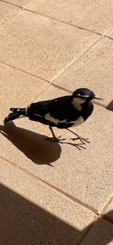
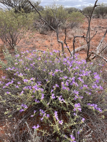
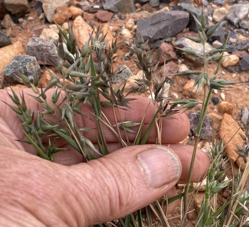
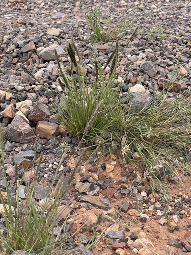
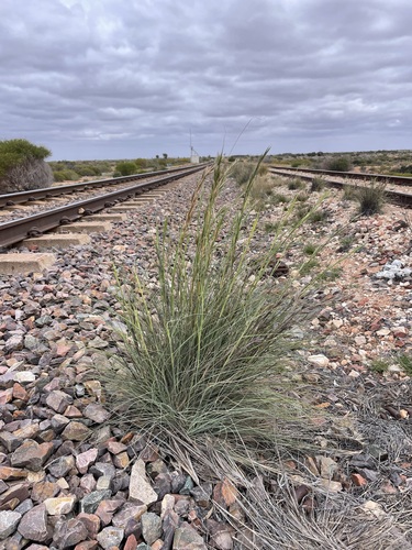
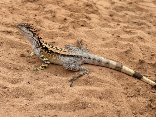
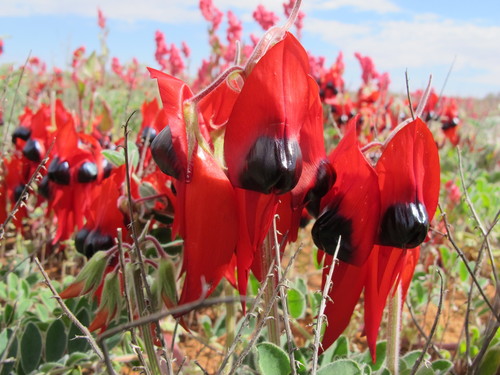
Research-grade observations from iNaturalist (within ~15 mi).
Events
Gallery
Geotagged photos within ~6 miles of Ooldea, from Wikimedia Commons contributors.
.jpg)
.jpg)

Photos via Wikimedia Commons — see each image page for license & attribution.
Sources
- • Wikipedia
- • Wikimedia Commons
- • Wikidata
- • USGS Earthquake Catalog (global feed)
- • GBIF (Global Biodiversity Information Facility)
- • iNaturalist
- • Open-Meteo / sunrise-sunset.org
- • Open Library