Browse / Australia / South Australia / Fowlers Bay
Fowlers Bay
South Australiavillage

Fowlers Bay
Total population
40
Air quality index
Demographic figures from Australian Bureau of Statistics. Overview below cites Wikipedia and may reference a different year.
City facts
Facts from Wikidata (CC0).
Overview
Fowlers Bay, formerly known as Yalata, is a bay, town and locality in the Australian state of South Australia located about 917 kilometres (570 mi) north-west of the state capital, Adelaide. The town is located on Port Eyre, at the western end of the larger Fowlers Bay. It was named Yalata after Yalata station, established in the 1860s and stretching from the Nullarbor Plain across to near Streaky Bay on the Eyre Peninsula, whose homestead was located on the hill nearby. The name Yalata now belongs to a small Aboriginal community further west, which was also situated on station land.
Read more on WikipediaHistory & geography
History
The town site of Fowlers Bay lies on the traditional lands of the Wirangu people. The Mirning, Kokatha, and Maralinga Tjarutja people, some of whom lived at the Yalata Mission during the 1950s after being displaced, also have spiritual connections to the country. The Mirning people have dreaming stories connected with the whales, in which the people call the whales from the edges of the bight. The word yalata is said to be from an Aboriginal language, meaning "oyster place" (or "shellfish").{{efn|Yatala Reef lies off Fowlers Bay, named after the Yatala, a schooner used to deliver supplies to the west coast in the late 1830s and early 1840s. The bay was named on 28 January 1802 by Matthew Flinders after his first lieutenant, Robert Fowler, as he was reconfirming the Dutch mapping of the coast and naming features along the way, in the Investigator. He found a couple of islands charted by Thijssen and named the group Nuyts Archipelago. Edward John Eyre set up base camp here from November 1840 during his epic journeys across the Nullarbor Plain, receiving supplies at Eyre's Landing. A government ship landed at the bay to bring him supplies. Whaling ships visited the port in the 1800s, and whales were brought onto the beach for processing. An unofficial post office was opened in 1865, and the first three postmasters were also policemen. (Yalata now refers to a nearby township.) From 1875 to 1877, three sections of the East-West Telegraph Line were built: from Port Augusta to Port Lincoln; from there to Fowlers Bay, and from Fowlers Bay to near the WA border at Eucla. The third section was undertaken by the Posts and Telegraph Department itself and supervised by R. R. Knuckey. A supply base was built at Fowlers Bay to provide equipment and provisions along the line, and…
Excerpted from the corresponding Wikipedia article (CC BY-SA).
Geography
Coordinates & boundaries from the US Census TIGER/Line shapefiles.
Climate
10-year averages from ERA5 reanalysis (Open-Meteo).
Air quality
Current readings from Open-Meteo Air Quality API (Copernicus CAMS European reanalysis).
Walkability
Amenities nearby
Wildlife & biodiversity
Most-observed species
- Singing HoneyeaterGavicalis virescens (Vieillot, 1817) · Aves51
- Welcome SwallowHirundo neoxena Gould, 1842 · Aves35
- Silver GullChroicocephalus novaehollandiae (Stephens, 1826) · Aves32
- southern right whaleEubalaena australis (Desmoulins, 1822) · Mammalia23
- Pacific GullLarus pacificus Latham, 1801 · Aves23
- European StarlingSturnus vulgaris Linnaeus, 1758 · Aves23
- Gray ShrikethrushColluricincla harmonica (Latham, 1802) · Aves17
- Willie-wagtailRhipidura leucophrys (Latham, 1802) · Aves17
Citizen-science & research observations from the Global Biodiversity Information Facility (GBIF).
Earthquake history
Events from the USGS Earthquake Catalog (global) (FDSN Event Web Service).
Photos
Sights & places nearby
Notable people from here
Nearby places in South Australia
- Koonibba Aboriginal Community58.3 mi away
- Jacinth Ambrosia Village77 mi away
- Smoky Bay91.5 mi away · pop. 162
- Nullarbor Roadhouse97.9 mi away
- Poochera149 mi away · pop. 43
- Venus Bay156 mi away · pop. 42
- Elliston182.9 mi away · pop. 333
- Wudinna190.8 mi away · pop. 516
- Border Village203.1 mi away
- Sheringa206.9 mi away
- Mount Hope223.6 mi away
- Cummins246.9 mi away · pop. 748
Geography & sun
Elevation, sunrise/sunset and daylight from Open-Meteo. Solar climatology from NASA POWER.
Nearby airports
Public attention
Pageview totals from the Wikimedia Pageviews API.
Books about Fowlers Bay
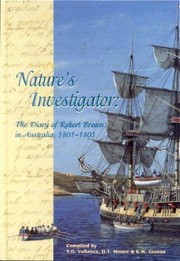

Search results from Open Library.
Recent natural events nearby
Ground air-quality sensors
Recently spotted species
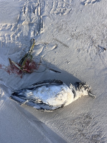
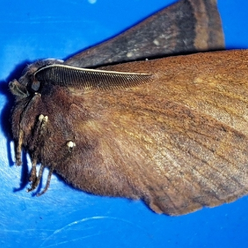
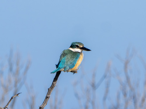
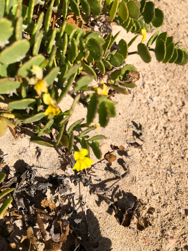
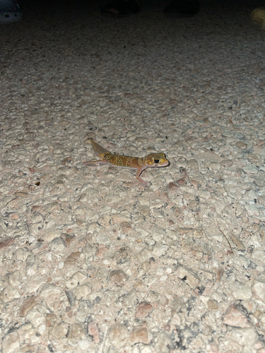
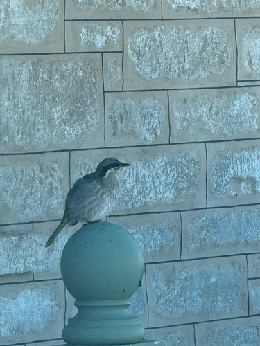
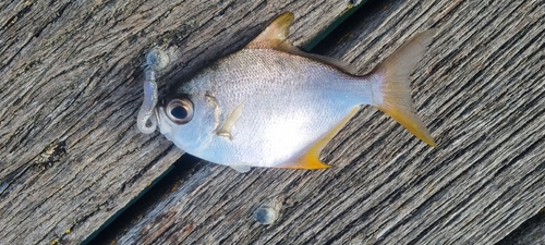
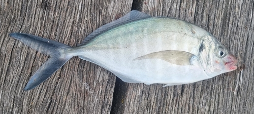
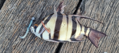
Research-grade observations from iNaturalist (within ~15 mi).
Events
Gallery
Geotagged photos within ~6 miles of Fowlers Bay, from Wikimedia Commons contributors.


Photos via Wikimedia Commons — see each image page for license & attribution.
Sources
- • Wikipedia
- • Open-Meteo (ERA5 reanalysis)
- • Wikimedia Commons
- • Wikidata
- • Open-Meteo Air Quality (CAMS)
- • USGS Earthquake Catalog (global feed)
- • GBIF (Global Biodiversity Information Facility)
- • iNaturalist
- • Open-Meteo / sunrise-sunset.org
- • Wikipedia Pageviews API
- • Open Library