Browse / Australia / South Australia / Smoky Bay
Smoky Bay
South Australiavillage

Smoky Bay
Total population
162
Demographic figures from Australian Bureau of Statistics. Overview below cites Wikipedia and may reference a different year.
City facts
Facts from Wikidata (CC0).
Overview
Smoky Bay is a town and locality located in the Australian state of South Australia on the west coast of the Eyre Peninsula. Previously used as a port, the town is now a residential settlement and popular tourist destination known for its recreational fishing, with a boat ramp and jetty located in the town.
Read more on WikipediaHistory & geography
History
Smoky Bay's coastline was first sighted and mapped by the British navigator, Matthew Flinders, in 1802, who named it "Smoky Bay" after the amount of smoke from fires lit by the area's Aboriginal people. Whalers were the first Europeans to inhabit the coastline near the current site of the town, just north of Pt. Collinson. Recently, dune erosion has uncovered parts of the ruins of their camps, with pieces of whale bone and three one-hundred gallon cooking pots discovered. The historic Port Collinson Whaling Station remnants are listed on the South Australian Heritage Register. In the early 1860s pastoralists arrived in the district. Former Adelaide civil servant Charles Francis Heath (1832–83) established a sheep grazing property which he named Wallanippie Station after the Aboriginal name of a waterhole near his homestead at the back of Point Brown promontory. A feud took place in 1865 between two Aboriginal men at Wallanippie Station, resulting in one being speared and the other charged with murder. Heath was required to attend the Supreme Court in Adelaide as a witness. The trial was notable in that it was an instance of British law intervening in traditional Aboriginal law. Following that the government decided that the developing district needed established law and order. On 16 November 1865, Heath was appointed the first justice of the peace and local magistrate for Smoky Bay. After nearly ten years on Eyre Peninsula, Heath returned to Adelaide and rejoined the civil service. In the early 1900s the town area was opened up, with the first building a tin hut erected in 1905. Scrubcutters cleared the area by 1906, and by 1911 a post office, repeating station and living quarters had been built. The town continued to grow, with a school and hall opened in 1909.…
Geography
The town of Smoky Bay lies on the bay of the same name, north of Streaky Bay. The bay is shielded from ocean swells by a small promenade of land that leads to Point Brown. Around 10 km offshore lies "Eyre Island", a small, sandy island that also protects the bay. Offshore lie a number of small, granitic islands which are home to many seabirds and tiger snakes that feed on the birds. The Nuyts Archipelago lies to the west, the islands of which are not easily accessible. Inside the bay, the calm waters are dominated by shallow stretches of seagrass, sandflats, mudflats, as well as numerous channels or "creeks" that allow boat access, with slightly deeper water. Surrounding the bay is a mixture of mangroves to the south and coastal sand dune vegetation to the north. The mangroves tend to give the water in some parts of the bay a yellow stain, presumed to be from tannins and decaying leaf matter. The town itself is situated on a long, sandy beach that ends at the boat ramp. Inland is dominated by agricultural land, used for cropping and grazing of sheep. The bay is home to a large variety of seabirds, as well as many fish species, including great white sharks, which are frequent visitors from the offshore islands. Seals also enter the bay, providing further incentive for sharks to enter the bay.
Excerpted from the corresponding Wikipedia article (CC BY-SA).
Geography
Coordinates & boundaries from the US Census TIGER/Line shapefiles.
Climate
10-year averages from ERA5 reanalysis (Open-Meteo).
Air quality
Walkability
Amenities nearby
Wildlife & biodiversity
Most-observed species
- Singing HoneyeaterGavicalis virescens (Vieillot, 1817) · Aves65
- Silver GullChroicocephalus novaehollandiae (Stephens, 1826) · Aves60
- Pacific GullLarus pacificus Latham, 1801 · Aves49
- European StarlingSturnus vulgaris Linnaeus, 1758 · Aves48
- Pied CormorantPhalacrocorax varius (Gmelin, 1789) · Aves45
- Welcome SwallowHirundo neoxena Gould, 1842 · Aves44
- Australian PelicanPelecanus conspicillatus Temminck, 1824 · Aves42
- Great Crested TernThalasseus bergii (M.H.K.Lichtenstein, 1823) · Aves36
Citizen-science & research observations from the Global Biodiversity Information Facility (GBIF).
Earthquake history
Events from the USGS Earthquake Catalog (global) (FDSN Event Web Service).
Photos
Sights & places nearby
Notable people from here

People born within ~10 km, from Wikidata (CC0). Click any name for their Wikipedia article.
Nearby places in South Australia
- Poochera57.8 mi away · pop. 43
- Venus Bay73.2 mi away · pop. 42
- Wudinna100.2 mi away · pop. 516
- Elliston104.1 mi away · pop. 333
- Sheringa126.5 mi away
- Jacinth Ambrosia Village145.1 mi away
- Mount Hope145.3 mi away
- Cummins166.6 mi away · pop. 748
- Cleve174.4 mi away · pop. 796
- Coffin Bay178.5 mi away · pop. 667
- Nullarbor Roadhouse189.3 mi away
- Tulka198.7 mi away · pop. 122
Geography & sun
Elevation, sunrise/sunset and daylight from Open-Meteo. Solar climatology from NASA POWER.
Nearby airports
Public attention
Pageview totals from the Wikimedia Pageviews API.
Books about Smoky Bay
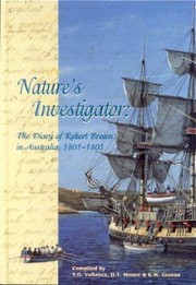
Search results from Open Library.
Recent natural events nearby
Ground air-quality sensors
Recently spotted species
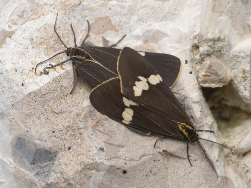
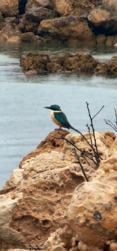
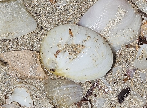
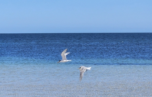
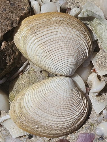
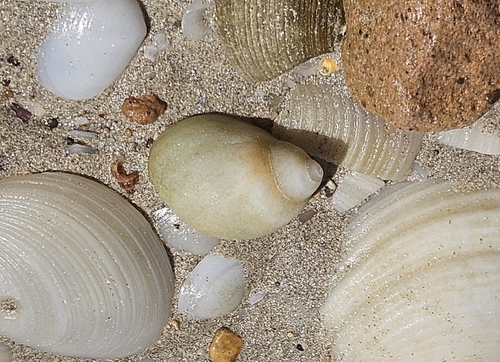
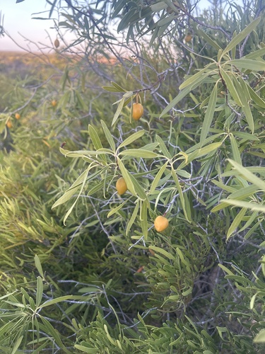
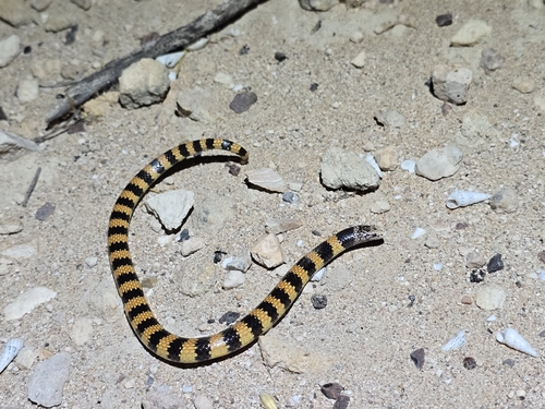
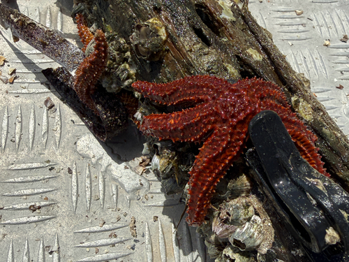
Research-grade observations from iNaturalist (within ~15 mi).
Events
Gallery
Geotagged photos within ~6 miles of Smoky Bay, from Wikimedia Commons contributors.
.jpg)
.jpg)
.jpg)
.jpg)
.jpg)
.jpg)
.jpg)
.jpg)
.jpg)
.jpg)
.jpg)
.jpg)
Photos via Wikimedia Commons — see each image page for license & attribution.
Sources
- • Wikipedia
- • Open-Meteo (ERA5 reanalysis)
- • Wikimedia Commons
- • Wikidata
- • USGS Earthquake Catalog (global feed)
- • GBIF (Global Biodiversity Information Facility)
- • iNaturalist
- • Open-Meteo / sunrise-sunset.org
- • Wikipedia Pageviews API
- • Open Library