Browse / Australia / South Australia / Warramboo
Warramboo
South Australiahamlet

Warramboo
Total population
27
Demographic figures from Australian Bureau of Statistics. Overview below cites Wikipedia and may reference a different year.
City facts
Facts from Wikidata (CC0).
Overview
Warramboo (wɔrˑræmˑbʉː) is a locality in the Australian state of South Australia located on the Eyre Peninsula about 334 kilometres (208 mi) north-west of the state capital of Adelaide and about 26 kilometres (16 mi) south-east of the municipal seat of Wudinna. It is 189 kilometres (117 mi) north of Port Lincoln on the Tod Highway and is the north-western terminus of the wheat haulage lines radiating from Port Lincoln on the Eyre Peninsula Railway. The railway line was built from 1907–1915 to develop the cereal industry. The grain silos are a distinctive local landmark of the town.
Read more on WikipediaHistory & geography
History
The traditional inhabitants of the Warramboo district and much of the South-West region of Eyre Peninsula are the Nawu/Nauo people. The word 'warramboo' means 'a lake/place of water', referring to the prevalence of samphire swamps in the region. A public school was erected at Warramboo during early European settlement and remained a source of education for children 5–12 years old from 1920 until its closure in 2002. The town hall was also built in the 1920s. The original wood and iron hall was demolished and a new stone hall built in its place in 1934. The local Australian rules football team (Central Eyre Football Club) was formed from an amalgamation of the Warramboo and Kyancutta Football Clubs in 1986. The Central Eyre Football Club was one of six teams in the Mid West Football League.
Excerpted from the corresponding Wikipedia article (CC BY-SA).
Geography
Coordinates & boundaries from the US Census TIGER/Line shapefiles.
Climate
Air quality
Walkability
Amenities nearby
Wildlife & biodiversity
Most-observed species
- Willie-wagtailRhipidura leucophrys (Latham, 1802) · Aves9
- White-winged ChoughCorcorax melanoramphos (Vieillot, 1817) · Aves9
- Yellow-throated MinerManorina flavigula (Gould, 1840) · Aves8
- Crested PigeonOcyphaps lophotes (Temminck, 1822) · Aves8
- Striated PardalotePardalotus striatus (Gmelin, 1789) · Aves7
- Gray ButcherbirdCracticus torquatus (Latham, 1802) · Aves6
- WeebillSmicrornis brevirostris (Gould, 1838) · Aves5
- Spiny-cheeked HoneyeaterAcanthagenys rufogularis Gould, 1838 · Aves5
Citizen-science & research observations from the Global Biodiversity Information Facility (GBIF).
Earthquake history
Events from the USGS Earthquake Catalog (global) (FDSN Event Web Service).
Photos
Sights & places nearby
Notable people from here
Nearby places in South Australia
- Wudinna15.6 mi away · pop. 516
- Sheringa46.8 mi away
- Elliston49.6 mi away · pop. 333
- Venus Bay53.4 mi away · pop. 42
- Poochera56.9 mi away · pop. 43
- Cleve60.7 mi away · pop. 796
- Mount Hope61.5 mi away
- Cummins71 mi away · pop. 748
- Arno Bay73 mi away · pop. 219
- Elbow Hill77.2 mi away
- Coffin Bay95.6 mi away · pop. 667
- Tulka107.9 mi away · pop. 122
Geography & sun
Elevation, sunrise/sunset and daylight from Open-Meteo. Solar climatology from NASA POWER.
Nearby airports
Public attention
Pageview totals from the Wikimedia Pageviews API.
Books about this place
Recent natural events nearby
Ground air-quality sensors
Recently spotted species
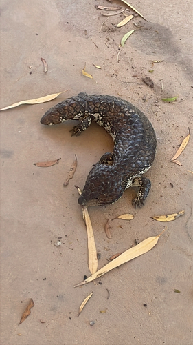
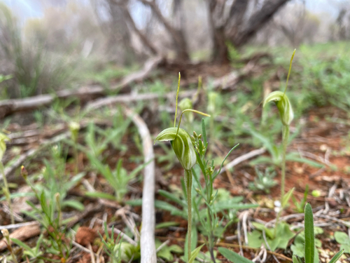
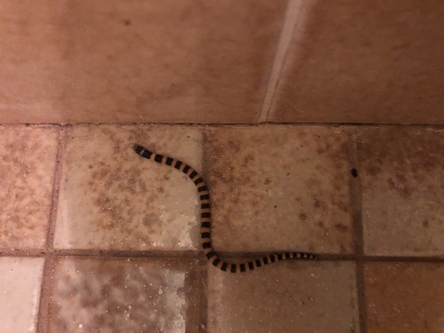
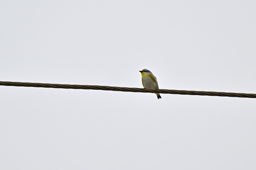
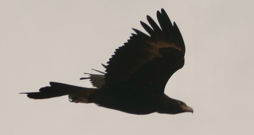
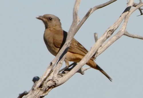
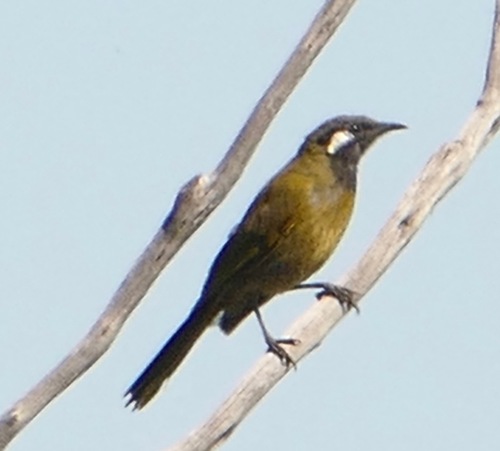
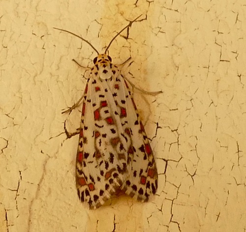
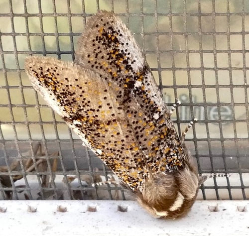
Research-grade observations from iNaturalist (within ~15 mi).
Events
Gallery
Geotagged photos within ~6 miles of Warramboo, from Wikimedia Commons contributors.
.jpg)

Photos via Wikimedia Commons — see each image page for license & attribution.
Official Identifiers
ABS — Australian Bureau of Statistics
- ASGS 2021
- SAL41540
- Population (Wikidata)
- 104
- Wikidata
- Q7969929
ASGS 2021 ID via Wikidata P10112
Sources
- • Wikipedia
- • Wikimedia Commons
- • Wikidata
- • USGS Earthquake Catalog (global feed)
- • GBIF (Global Biodiversity Information Facility)
- • iNaturalist
- • Open-Meteo / sunrise-sunset.org
- • Wikipedia Pageviews API
- • ABS — Australian Bureau of Statistics — ASGS 2021 ID via Wikidata P10112