Browse / Australia / South Australia / Sheringa
Sheringa
South Australiahamlet
Air quality index
Demographic figures from Australian Bureau of Statistics. Overview below cites Wikipedia and may reference a different year.
City facts
Overview
Sheringa is a coastal locality on the western side of Eyre Peninsula in South Australia on the Great Australian Bight.
Read more on WikipediaHistory & geography
History
In August 1843, Joseph Cummings, aged 16, born in England, and Samuel Harris, aged 14, born in the United States, became only the second westerners to trek through the Eyre Peninsula, following in explorer Edward John Eyre's footsteps, and using a coastal map prepared by Matthew Flinders from his circumnavigation of Australia in 1802. They had left the Fowlers Bay whaling station to walk to civilisation, because of the torrid conditions in which they found themselves. They walked to Point Drummond where a ship was seen, and took them to Port Lincoln. A local magistrate heard their story, and freed them on the condition that they guided a survey party to the region of good farming land they described, at what became Sheringa. He also granted them parcels of land there, that they farmed. The town of Sheringa was surveyed in October 1882. It was initially proclaimed as Holsworthy on 19 April 1883, then revoked and proclaimed as Sheringa on 23 August 1883. Its name is derived from Tjeiringa, a local Aboriginal name for a yam-like root that grew in the area. The former Sheringa Post Office opened on 1 September 1891 and closed on 28 September 1984. The Wesleyan Methodist church granted permission to construct a church building at Sheringa at its district meeting in 1886. In 1898, the town consisted "...of a temperance hotel, a general store, and blacksmith's shop under one roof, and a public building, which is used as a Church, a school, and a dancing-room." St. John's Anglican Church opened in 1910. The historic Round Lake Washing Pool, a former sheep wash located near Sheringa, is listed on the South Australian Heritage Register. Washing pools were used before 1870 to wash sheep prior to shearing. This wash pond was built in the 1840s and used by several adjacent…
Excerpted from the corresponding Wikipedia article (CC BY-SA).
Geography
Coordinates & boundaries from the US Census TIGER/Line shapefiles.
Climate
10-year averages from ERA5 reanalysis (Open-Meteo).
Air quality
Current readings from Open-Meteo Air Quality API (Copernicus CAMS European reanalysis).
Walkability
Amenities nearby
Wildlife & biodiversity
Most-observed species
- Silver GullChroicocephalus novaehollandiae (Stephens, 1826) · Aves14
- Australian KestrelFalco cenchroides Vigors & Horsfield, 1827 · Aves11
- Pacific GullLarus pacificus Latham, 1801 · Aves8
- Singing HoneyeaterGavicalis virescens (Vieillot, 1817) · Aves8
- Eurasian SkylarkAlauda arvensis Linnaeus, 1758 · Aves8
- European StarlingSturnus vulgaris Linnaeus, 1758 · Aves8
- Sooty OystercatcherHaematopus fuliginosus Gould, 1845 · Aves7
- Gray ButcherbirdCracticus torquatus (Latham, 1802) · Aves7
Citizen-science & research observations from the Global Biodiversity Information Facility (GBIF).
Earthquake history
Most recent
- M 2.8 — 2002-11-0833 km N of Tumby Bay, Australia
Events from the USGS Earthquake Catalog (global) (FDSN Event Web Service).
Photos
Sights & places nearby
Notable people from here
Nearby places in South Australia
- Mount Hope19.4 mi away
- Elliston24 mi away · pop. 333
- Cummins40.3 mi away · pop. 748
- Venus Bay53.3 mi away · pop. 42
- Coffin Bay55.1 mi away · pop. 667
- Wudinna56.8 mi away · pop. 516
- Tulka73 mi away · pop. 122
- Cleve73.1 mi away · pop. 796
- Poochera81.1 mi away · pop. 43
- Smoky Bay126.5 mi away · pop. 162
- Marion Bay138.2 mi away · pop. 160
- Minlaton149.1 mi away · pop. 759
Geography & sun
Elevation, sunrise/sunset and daylight from Open-Meteo. Solar climatology from NASA POWER.
Nearby airports
Public attention
Pageview totals from the Wikimedia Pageviews API.
Books about this place
Recent natural events nearby
Ground air-quality sensors
Recently spotted species
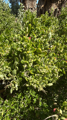
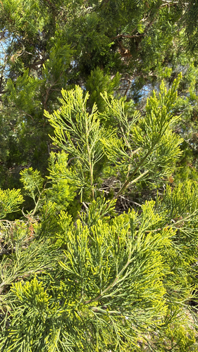
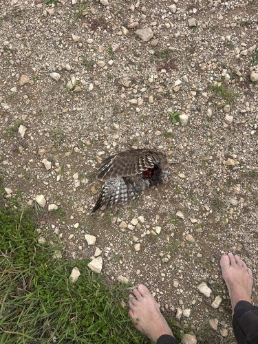
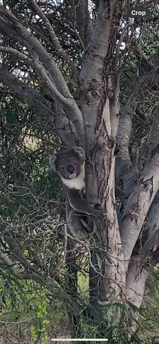
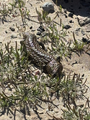
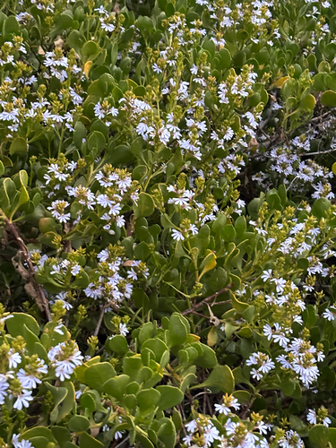
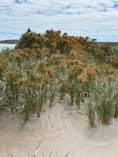
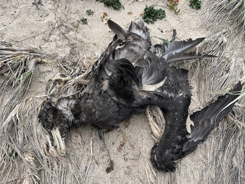
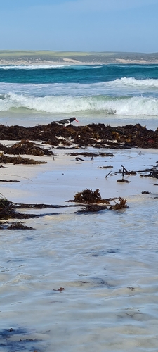
Research-grade observations from iNaturalist (within ~15 mi).
Events
Gallery
Geotagged photos within ~6 miles of Sheringa, from Wikimedia Commons contributors.


Photos via Wikimedia Commons — see each image page for license & attribution.
Official Identifiers
ABS — Australian Bureau of Statistics
- ASGS 2021
- SAL41339
- Population (Wikidata)
- 31
- Wikidata
- Q24189806
ASGS 2021 ID via Wikidata P10112
Sources
- • Wikipedia
- • Open-Meteo (ERA5 reanalysis)
- • Wikimedia Commons
- • Wikidata
- • Open-Meteo Air Quality (CAMS)
- • USGS Earthquake Catalog (global feed)
- • GBIF (Global Biodiversity Information Facility)
- • iNaturalist
- • Open-Meteo / sunrise-sunset.org
- • Wikipedia Pageviews API
- • ABS — Australian Bureau of Statistics — ASGS 2021 ID via Wikidata P10112