Browse / Australia / South Australia / Wudinna
Wudinna
South Australiatown

Wudinna
Total population
516
Demographic figures from Australian Bureau of Statistics. Overview below cites Wikipedia and may reference a different year.
City facts
Facts from Wikidata (CC0).
Overview
Wudinna is a town of about 500 people on the Eyre Highway in the wheat-growing region of Eyre Peninsula, South Australia.
Read more on WikipediaHistory & geography
History
Since time immemorial, Wudinna has been part of the country visited from the east coast of Eyre Peninsula, seasonally and for ceremonial and special purposes, by the Barngarla people. The Barngarla name is "Woodina", meaning "granite hill". The area was first settled by Europeans in 1861, after Robert George Standley lodged a claim for of land surrounding what was then referred to as Weedna Hill. The town, which was proclaimed in 1916, serves as the seat of the Wudinna District Council. In 2023, it won the South Australian Department of Primary Industries and Regions Agricultural Town of the Year award. In 2024 the town held its inaugural Granite Rocks music festival.
Geography
The region is known as "granite country" for its deposits of granite, accessible along a "granite trail". Quarrying began at the Desert Rose quarry, near Mount Wudinna, in the 1990s. Blocks up to , weighing are cut into smaller blocks for shipping around Australia or for export to Asian and European markets. An statue in the town, Australian Farmer, commemorating the area's settlers, is made from local granite. Mount Wudinna, located north-east of the township, is listed on the South Australian Heritage Register. It is the largest and most impressive of the granite outcrops on north-west Eyre Peninsula and is a good example of a stepped inselberg. The Gawler Ranges National Park is north of the town. A bike-and-walking trail runs from Wudinna to Polda Rock Recreation Reserve. Wudinna has a semi-arid climate (Köppen: BSk/BSh), with hot, dry summers and mild, somewhat wetter winters. Temperatures vary throughout the year, with average maxima ranging from in January to in July, and average minima fluctuating between in January and in August. Annual precipitation is low, averaging between 97.7 precipitation days. Extreme temperatures have ranged from on 19 December 2019 to on 7 August 2023.
Excerpted from the corresponding Wikipedia article (CC BY-SA).
Geography
Coordinates & boundaries from the US Census TIGER/Line shapefiles.
Climate
10-year averages from ERA5 reanalysis (Open-Meteo).
Air quality
Walkability
Amenities nearby
Wildlife & biodiversity
Most-observed species
- Singing HoneyeaterGavicalis virescens (Vieillot, 1817) · Aves45
- Yellow-throated MinerManorina flavigula (Gould, 1840) · Aves34
- GalahEolophus roseicapilla (Vieillot, 1817) · Aves32
- Willie-wagtailRhipidura leucophrys (Latham, 1802) · Aves32
- Crested PigeonOcyphaps lophotes (Temminck, 1822) · Aves31
- Gray ButcherbirdCracticus torquatus (Latham, 1802) · Aves30
- Australian RavenCorvus coronoides Vigors & Horsfield, 1827 · Aves28
- European StarlingSturnus vulgaris Linnaeus, 1758 · Aves28
Citizen-science & research observations from the Global Biodiversity Information Facility (GBIF).
Earthquake history
Events from the USGS Earthquake Catalog (global) (FDSN Event Web Service).
Photos
Sights & places nearby
Notable people from here
People born within ~10 km, from Wikidata (CC0). Click any name for their Wikipedia article.
Nearby places in South Australia
- Poochera42.6 mi away · pop. 43
- Venus Bay47.4 mi away · pop. 42
- Darke Peak51.7 mi away · pop. 24
- Elliston53.1 mi away · pop. 333
- Sheringa56.8 mi away
- Mount Hope73.6 mi away
- Cleve74.9 mi away · pop. 796
- Cummins85.5 mi away · pop. 748
- Arno Bay87.8 mi away · pop. 219
- Elbow Hill90.7 mi away
- Smoky Bay100.2 mi away · pop. 162
- Coffin Bay108.7 mi away · pop. 667
Geography & sun
Elevation, sunrise/sunset and daylight from Open-Meteo. Solar climatology from NASA POWER.
Nearby airports
Public attention
Pageview totals from the Wikimedia Pageviews API.
Books about this place
Recent natural events nearby
Ground air-quality sensors
Recently spotted species
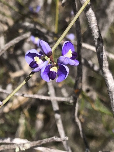
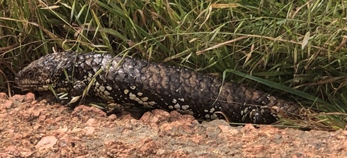
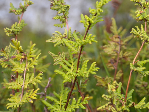
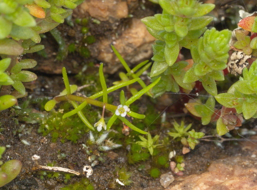
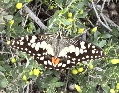
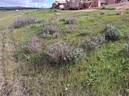
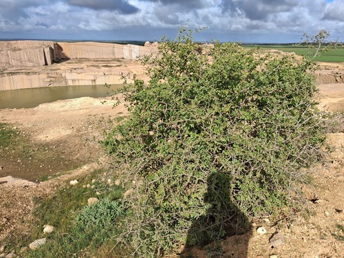
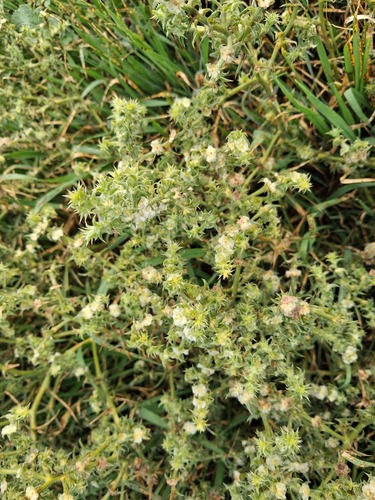
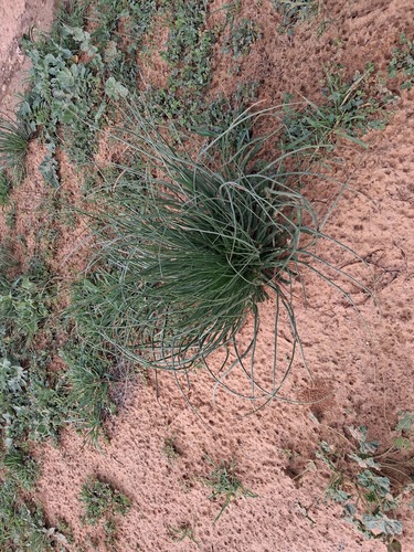
Research-grade observations from iNaturalist (within ~15 mi).
Events
Gallery
Geotagged photos within ~6 miles of Wudinna, from Wikimedia Commons contributors.


.jpg)


Photos via Wikimedia Commons — see each image page for license & attribution.
Sources
- • Wikipedia
- • Open-Meteo (ERA5 reanalysis)
- • Wikimedia Commons
- • Wikidata
- • USGS Earthquake Catalog (global feed)
- • GBIF (Global Biodiversity Information Facility)
- • iNaturalist
- • Open-Elevation
- • Open-Meteo / sunrise-sunset.org
- • Wikipedia Pageviews API