Browse / Australia / South Australia / Cleve
Cleve
South Australiatown

Cleve
Total population
796
Air quality index
Demographic figures from Australian Bureau of Statistics. Overview below cites Wikipedia and may reference a different year.
City facts
Facts from Wikidata (CC0).
Overview
Cleve is a small agriculturally based town on Central Eyre Peninsula in South Australia. It is 226 km southwest of Port Augusta and 143 km north of Port Lincoln. At the 2006 census, Cleve had a population of 738. The town has its origins in the 1850s, with the town established some twenty years later.
Read more on WikipediaHistory & geography
History
The first European settlers in the area were the three McKechnie brothers; James, Peter and Donald who arrived in 1853. The first European woman arrived in 1862; a wife of one of the brothers. They established a sheep run 43 km from the current day site of Cleve and continued living there until 1869, when Peter and Donald died, leaving James to return to his homeland of Scotland. The run was sold to George Melrose in 1873, and he had great initial success, shearing 30 000 sheep in his first year. This was not to last though, as dingos decimated his flock in the following years. Melrose was also the first to report rabbits on the Eyre Peninsula, an indicator of the troubles they would cause in the future. In 1878, the current site of the town was inspected and surveyed, in anticipation of creating a new town to serve the growing wool and crop industries which were rapidly expanding. The Cleve school was opened seven years later in 1886, and would go on to become a recognised instructor in dryland farming. Cleve has maintained its position as a leading producer of both grain and wool since the establishment, with other ventures such as copper mining in the area having little success. Cleve has a number of heritage-listed sites, including: * Cleve-Cowell Road: Sims Farm Homstead * off Cleve Road: Yeldulknie Cottage * off Cleve Road: Yeldulknie Weir
Geography
Cleve is located in the central east Eyre Peninsula, a large triangular body of land in South Australia. Many of the areas geological and geographical features are responsible for the use of the land and types of natural vegetation present. The landscape has been heavily modified since European settlement and now is predominantly farming land, with patches of native scrub in places. The Cleve Hills are a major topographical feature of the region and have areas of preserved vegetation in their bounds. The town of Cleve lies on an ancient bedrock that has undergone high grade metamorphism, with the area characterised by schists, gneisses and granites in a formation known as the Hutchison Group. These strata were laid down in the Proterozoic, some 600-2300 million years ago. The area underwent deformation during the orogeny events that shaped Australia. Just south of Cleve marks an unconformity with recent Quaternary alluvial and colluvial sediments of the Piedmont Group which were deposited less than 1 million years ago. The soils around Cleve are heavily tied to the geology of the area, with Cleve having a clay overlain by sandy loam soils in the hills and on most slopes in the area. This soil is often referred to as 'Cleve soil' or 'Nobby's Hill's soil'. The soils are highly productive when they are deep enough to hold enough moisture, but are particularly susceptible to erosion, especially in steeper inclines. There is also a strong calcareous component to much of the areas soils, especially away from the slopes. The most common vegetation association in the area is classified as Open Scrub (Mallee/Broombush), which is typical of most of the mid eastern Eyre Peninsula, consisting of Eucalyptus socialis (summer red mallee), Eucalyptus incrassata (ridge fruited…
Excerpted from the corresponding Wikipedia article (CC BY-SA).
Geography
Coordinates & boundaries from the US Census TIGER/Line shapefiles.
Climate
10-year averages from ERA5 reanalysis (Open-Meteo).
Air quality
Current readings from Open-Meteo Air Quality API (Copernicus CAMS European reanalysis).
Walkability
Amenities nearby
Wildlife & biodiversity
Most-observed species
- GalahEolophus roseicapilla (Vieillot, 1817) · Aves50
- Singing HoneyeaterGavicalis virescens (Vieillot, 1817) · Aves50
- Red WattlebirdAnthochaera carunculata (Shaw, 1790) · Aves46
- Magpie-larkGrallina cyanoleuca (Latham, 1802) · Aves41
- Willie-wagtailRhipidura leucophrys (Latham, 1802) · Aves39
- Gray TealAnas gracilis Buller, 1869 · Aves38
- European StarlingSturnus vulgaris Linnaeus, 1758 · Aves38
- Australian RingneckBarnardius zonarius (Shaw, 1805) · Aves32
Citizen-science & research observations from the Global Biodiversity Information Facility (GBIF).
Earthquake history
Most recent
- M 4.2 — 2018-11-2147 km N of Cowell, Australia
- M 3.9 — 2018-07-0115 km WNW of Cowell, Australia
- M 4.7 — 2010-06-0523 km NW of Cowell, Australia
- M 3.4 — 2006-07-1755 km S of Cowell, Australia
- M 2.8 — 2002-11-0833 km N of Tumby Bay, Australia
Events from the USGS Earthquake Catalog (global) (FDSN Event Web Service).
Photos
Sights & places nearby
Notable people from here


People born within ~10 km, from Wikidata (CC0). Click any name for their Wikipedia article.
Nearby places in South Australia
- Arno Bay15.4 mi away · pop. 219
- Elbow Hill17.5 mi away
- Cummins58.7 mi away · pop. 748
- Mount Hope71.2 mi away
- Sheringa73.1 mi away
- Wudinna74.9 mi away · pop. 516
- Paskeville83.9 mi away · pop. 79
- Tulka85.3 mi away · pop. 122
- Coffin Bay86.6 mi away · pop. 667
- Mundoora91.7 mi away
- Elliston92.3 mi away · pop. 333
- Ardrossan95.4 mi away · pop. 1,188
Geography & sun
Elevation, sunrise/sunset and daylight from Open-Meteo. Solar climatology from NASA POWER.
Nearby airports
Public attention
Pageview totals from the Wikimedia Pageviews API.
Books about Cleve

Search results from Open Library.
Recent natural events nearby
Ground air-quality sensors
Recently spotted species
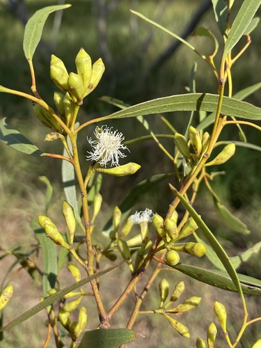
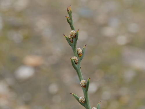
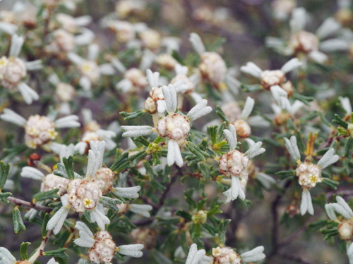
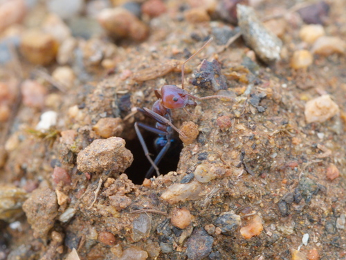
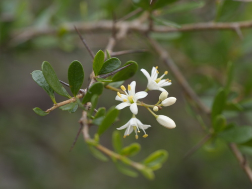
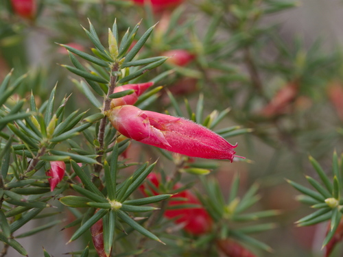
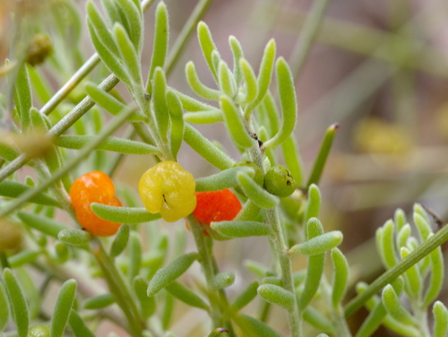
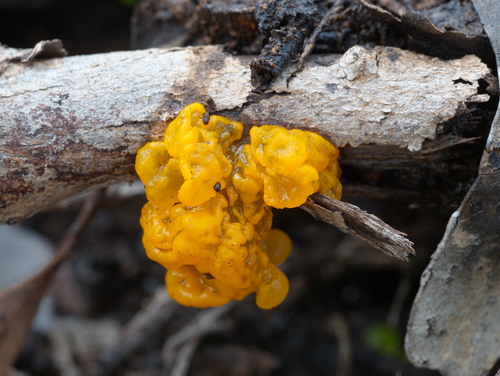
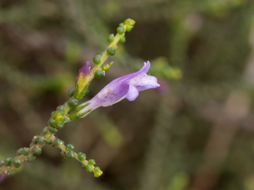
Research-grade observations from iNaturalist (within ~15 mi).
Events
Gallery
Geotagged photos within ~6 miles of Cleve, from Wikimedia Commons contributors.
 0 mi
0 mi 0.1 mi
 0.1 mi
 0.1 mi
 0.1 mi
 0.1 mi
 0.2 mi
 0.2 mi
 0.2 mi
 0.2 mi
 0.3 mi
 0.3 mi
.jpg) 0.3 mi
0.3 mi 0.5 mi
 0.5 mi
 0.5 mi
 6.1 mi
 6.1 mi
Photos via Wikimedia Commons — see each image page for license & attribution.
Sources
- • Wikipedia
- • Open-Meteo (ERA5 reanalysis)
- • Wikimedia Commons
- • Wikidata
- • Open-Meteo Air Quality (CAMS)
- • USGS Earthquake Catalog (global feed)
- • GBIF (Global Biodiversity Information Facility)
- • iNaturalist
- • Open-Meteo / sunrise-sunset.org
- • Wikipedia Pageviews API
- • Open Library