Browse / Australia / South Australia / Paskeville
Paskeville
South Australiavillage

Paskeville
Total population
79
Air quality index
Demographic figures from Australian Bureau of Statistics. Overview below cites Wikipedia and may reference a different year.
City facts
Facts from Wikidata (CC0).
Overview
Paskeville is a town on South Australia's Yorke Peninsula. It is located approximately 20 km east of Kadina on the Copper Coast Highway towards Adelaide. At the 2016 census, Paskeville had a population of 178. The town's district is administratively divided between the Copper Coast Council and the District Council of Barunga West.
Read more on WikipediaHistory & geography
History
Paskeville is within the traditional lands of the indigenous Narungga people. The first European explorers to traverse the Northern Yorke Peninsula were John Hill and Thomas Burr, on horseback. On 28 April 1840 they camped overnight near present-day Paskeville and later reported they had discovered extensive fertile land there. The area known as Green's Plains, after John Green who established a sheep station there in 1851, was soon occupied by sheep graziers, who held occupation licences until closer settlement came two decades later. The Hundred of Kulpara was proclaimed on 12 June 1862. Surveys soon followed, including the surveyed township of Kulpara. The District Council of Green's Plains was established in 1871 bringing local administration to the hundreds of Kulpara and Kadina. Pioneer farmers cleared the land for cropping, but there was no town at Paskeville until 1878, when a station was established on the new Port Wakefield to Kadina railway. The surveyed town which surrounded this station was on 4 March 1880 named after General Edward Hanson Paske, brother-in-law of the incumbent Governor, Sir William Jervois. Paskeville was located on the Balaklava-Moonta railway line. The railway yards at Paskeville were soon busily thronged by local farmers with transhipments of bagged wheat and barley, as well as wool. Goods sheds were built in 1887, while silos were built later for bulk grain handling. These products were generally exported through the port of Wallaroo. The township also provided commercial and community support services, including churches, a school, a grocer and baker, and a hotel (originally named the Railway Hotel). Gaslight came to Paskeville in 1903, a new post office in 1925, and a 32-volt power supply until 1953. The township thrived for a…
Geography
The original geography of Northern Yorke Peninsula was of scrub-covered undulating plains, almost devoid of watercourses. Since European settlement the scrub has mostly been cleared, with the exception of roadside remnants, leaving a dominant landscape of undulating grain fields. Paskeville is sited upon a plateau which, although low-lying, affords clear and distant views in certain directions across the surrounding region. The geology, which is dominated by limestone overlaid by ancient sand dunes, was quickly exhausted by pioneer cropping, but modern farming methods and fertilisers make this a highly productive food bowl. The area has a dry Mediterranean climate with seasonal temperatures a few degrees above those in Adelaide.
Excerpted from the corresponding Wikipedia article (CC BY-SA).
Geography
Coordinates & boundaries from the US Census TIGER/Line shapefiles.
Climate
10-year averages from ERA5 reanalysis (Open-Meteo).
Air quality
Current readings from Open-Meteo Air Quality API (Copernicus CAMS European reanalysis).
Walkability
Amenities nearby
Wildlife & biodiversity
Most-observed species
- Red WattlebirdAnthochaera carunculata (Shaw, 1790) · Aves351
- New Holland HoneyeaterPhylidonyris novaehollandiae (Latham, 1790) · Aves317
- European StarlingSturnus vulgaris Linnaeus, 1758 · Aves317
- Crested PigeonOcyphaps lophotes (Temminck, 1822) · Aves299
- Magpie-larkGrallina cyanoleuca (Latham, 1802) · Aves265
- Spotted DoveSpilopelia chinensis (Scopoli, 1786) · Aves264
- House SparrowPasser domesticus (Linnaeus, 1758) · Aves254
- Welcome SwallowHirundo neoxena Gould, 1842 · Aves239
Citizen-science & research observations from the Global Biodiversity Information Facility (GBIF).
Earthquake history
Most recent
- M 4.4 — 2020-05-1415 km WSW of Burra, Australia
- M 3.1 — 2008-12-0417 km ESE of Crystal Brook, Australia
- M 3.4 — 2006-07-1755 km S of Cowell, Australia
- M 2.6 — 2004-08-0230 km N of Clare, Australia
- M 2.7 — 2004-08-0229 km N of Clare, Australia
- M 2.9 — 2003-05-0226 km ENE of Kadina, Australia
Events from the USGS Earthquake Catalog (global) (FDSN Event Web Service).
Photos
Sights & places nearby
Notable people from here
Nearby places in South Australia
- Port Wakefield17.8 mi away · pop. 593
- Ardrossan26.9 mi away · pop. 1,188
- James Well31.1 mi away · pop. 54
- Mundoora32.3 mi away
- Kybunga35.5 mi away
- Hoyleton37.8 mi away · pop. 46
- Clare43.1 mi away · pop. 3,379
- Curramulka46.9 mi away · pop. 156
- Middle Beach49.1 mi away
- Crystal Brook50.4 mi away · pop. 1,322
- Port Vincent51.3 mi away · pop. 494
- Minlaton53.7 mi away · pop. 759
Geography & sun
Elevation, sunrise/sunset and daylight from Open-Meteo. Solar climatology from NASA POWER.
Nearby airports
Public attention
Pageview totals from the Wikimedia Pageviews API.
Books about this place
Recent natural events nearby
Ground air-quality sensors
Recently spotted species
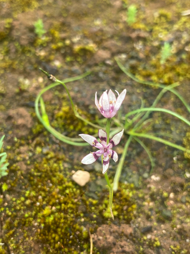
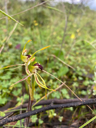
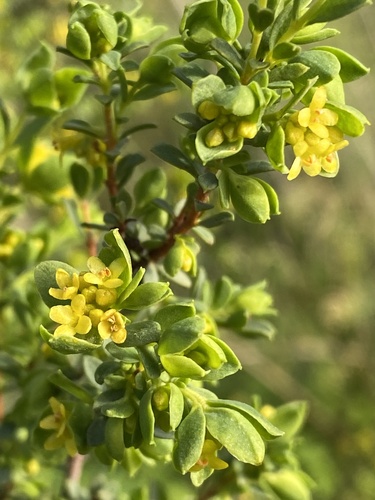
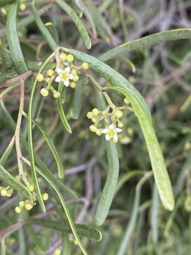
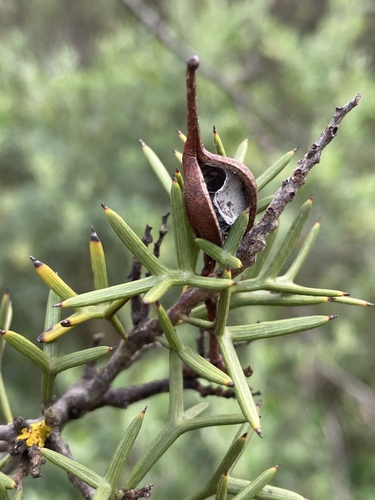
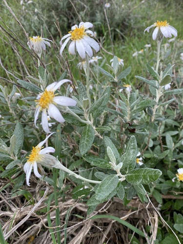
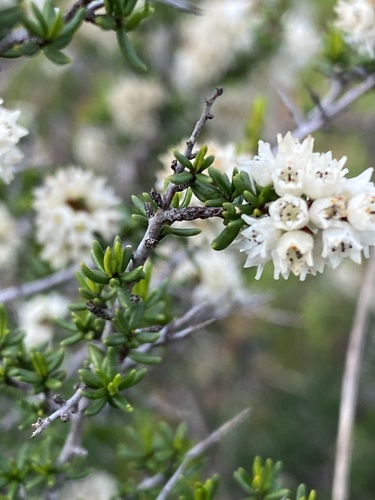
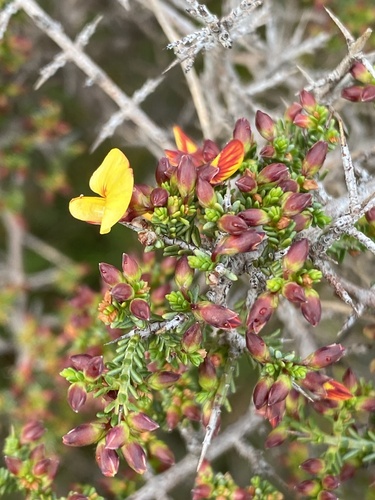
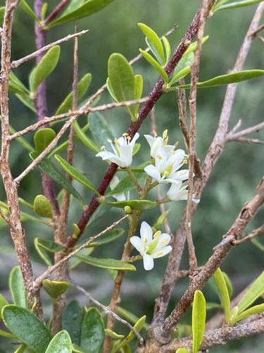
Research-grade observations from iNaturalist (within ~15 mi).
Events
Gallery
Geotagged photos within ~6 miles of Paskeville, from Wikimedia Commons contributors.


Photos via Wikimedia Commons — see each image page for license & attribution.
Official Identifiers
ABS — Australian Bureau of Statistics
- ASGS 2021
- SAL41121
- Population (Wikidata)
- 149
- Wikidata
- Q7142211
ASGS 2021 ID via Wikidata P10112
Sources
- • Wikipedia
- • Open-Meteo (ERA5 reanalysis)
- • Wikimedia Commons
- • Wikidata
- • Open-Meteo Air Quality (CAMS)
- • USGS Earthquake Catalog (global feed)
- • GBIF (Global Biodiversity Information Facility)
- • iNaturalist
- • Open-Meteo / sunrise-sunset.org
- • Wikipedia Pageviews API
- • ABS — Australian Bureau of Statistics — ASGS 2021 ID via Wikidata P10112