Browse / Australia / South Australia / Ardrossan
Ardrossan
South Australiatown

Ardrossan
Total population
1,188
Air quality index
Demographic figures from Australian Bureau of Statistics. Overview below cites Wikipedia and may reference a different year.
City facts
Facts from Wikidata (CC0).
Overview
Ardrossan is a town in the Australian state of South Australia located on the eastern coast of the Yorke Peninsula, about 150 kilometres (93 mi) by road from the Adelaide city centre. It is notable for its deepwater shipping port and its towering coastal cliffs of red clay.
Read more on WikipediaHistory & geography
History
The Aboriginal Australian people who are the traditional owners of the land on which Ardrossan was developed were the Narungga people. They comprised four clans sharing the Guuranda (the Yorke Peninsula): Kurnara in the north, Dilpa in the south, Wari in the west and Windarra in the east. The first European settlers after the British colonisation of South Australia were pastoralists who established sheep runs. Pastoral Lease No. 232, comprising , was taken up in 1852 by William Sharples. Stretching along the coastline, this was known as Parara (or Parrana/Pirana), meaning "middle" in the Narungga language, with the homestead near Parara Landing, about south of present Ardrossan. Northward of Ardrossan are coastal springs, named Tiddy Widdy or Tittiwitti by the Narungga, being a scarce natural source of fresh water in this region. In 1859 partners Parker Bowman (1831–1911) and Edmund Parnell (1834–87) took over the Parara leases. After these expired in 1865 the government moved toward establishing closer settlement and grain farming. The Hundred of Cunningham was proclaimed on 19 June 1873, comprising , and surveying commenced. The Hundred had two government surveyed towns, namely Ardrossan, proclaimed 13 November 1873, and Price, proclaimed 3 August 1882. Being at a site formerly known as Clay Gully, after a deep gully leading to its red clay coastal cliffs, the surveyed town of Ardrossan was named by Governor Fergusson after the Ardrossan seaport in Scotland which shared similar geography – "ard" meaning a height, and "ros" prominent rock or headland. The site was largely chosen because of its potential for shipping infrastructure, allowing wheat farmers to ship their produce across the Gulf St Vincent to Port Adelaide. The residents of the new township…
Excerpted from the corresponding Wikipedia article (CC BY-SA).
Geography
Coordinates & boundaries from the US Census TIGER/Line shapefiles.
Climate
10-year averages from ERA5 reanalysis (Open-Meteo).
Air quality
Current readings from Open-Meteo Air Quality API (Copernicus CAMS European reanalysis).
Walkability
Amenities nearby
Wildlife & biodiversity
Most-observed species
- Silver GullChroicocephalus novaehollandiae (Stephens, 1826) · Aves140
- Welcome SwallowHirundo neoxena Gould, 1842 · Aves109
- Singing HoneyeaterGavicalis virescens (Vieillot, 1817) · Aves108
- Willie-wagtailRhipidura leucophrys (Latham, 1802) · Aves104
- Crested PigeonOcyphaps lophotes (Temminck, 1822) · Aves102
- European StarlingSturnus vulgaris Linnaeus, 1758 · Aves94
- Little Pied CormorantMicrocarbo melanoleucos (Vieillot, 1817) · Aves86
- Pied CormorantPhalacrocorax varius (Gmelin, 1789) · Aves77
Citizen-science & research observations from the Global Biodiversity Information Facility (GBIF).
Earthquake history
Most recent
- M 3.3 — 2011-10-183 km ESE of Hawthorndene, Australia
- M 3.4 — 2006-07-1755 km S of Cowell, Australia
- M 2.9 — 2003-05-0226 km ENE of Kadina, Australia
Events from the USGS Earthquake Catalog (global) (FDSN Event Web Service).
Photos
Sights & places nearby
Notable people from here


People born within ~10 km, from Wikidata (CC0). Click any name for their Wikipedia article.
Nearby places in South Australia
- James Well4.4 mi away · pop. 54
- Port Wakefield21.5 mi away · pop. 593
- Curramulka22.1 mi away · pop. 156
- Port Vincent24.6 mi away · pop. 494
- Minlaton30.1 mi away · pop. 759
- Stansbury34.3 mi away · pop. 480
- St Kilda41.4 mi away · pop. 77
- Hoyleton46.2 mi away · pop. 46
- Edithburgh46.8 mi away · pop. 497
- Salisbury47.5 mi away
- Roseworthy47.9 mi away · pop. 987
- Kybunga48.4 mi away
Geography & sun
Elevation, sunrise/sunset and daylight from Open-Meteo. Solar climatology from NASA POWER.
Nearby airports
Public attention
Pageview totals from the Wikimedia Pageviews API.
Books about this place
Recent natural events nearby
Ground air-quality sensors
Recently spotted species
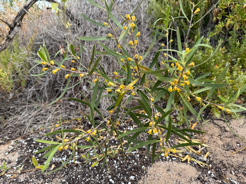
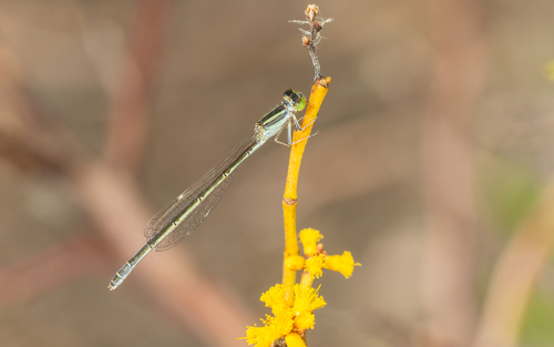
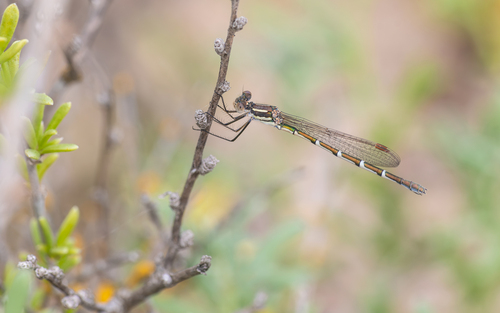
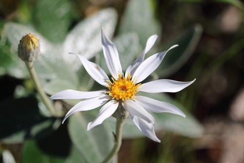
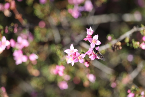
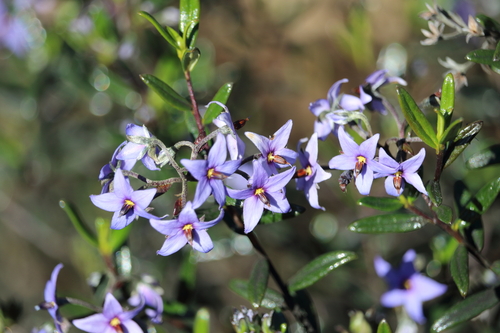
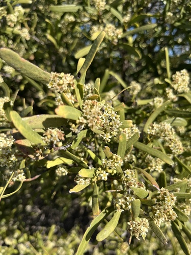
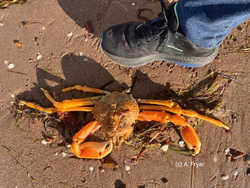
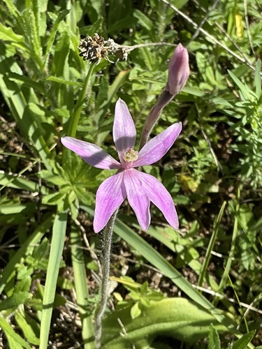
Research-grade observations from iNaturalist (within ~15 mi).
Events
Gallery
Geotagged photos within ~6 miles of Ardrossan, from Wikimedia Commons contributors.
 0.4 mi
 0.4 mi
.jpeg) 0.8 mi
0.8 mi.jpeg) 0.8 mi
0.8 mi.jpeg) 0.8 mi
0.8 mi 0.8 mi
_near_Tiddy_Widdy_Beach,_Australia.jpg) 1.4 mi
1.4 mi 1.9 mi
 1.9 mi
 1.9 mi
 1.9 mi
 2.6 mi
 2.6 mi
 2.6 mi
 5.1 mi
 6.1 mi
 6.1 mi
.jpg) 6.1 mi
6.1 miPhotos via Wikimedia Commons — see each image page for license & attribution.
Sources
- • Wikipedia
- • Open-Meteo (ERA5 reanalysis)
- • Wikimedia Commons
- • Wikidata
- • Open-Meteo Air Quality (CAMS)
- • USGS Earthquake Catalog (global feed)
- • GBIF (Global Biodiversity Information Facility)
- • iNaturalist
- • Open-Meteo / sunrise-sunset.org
- • Wikipedia Pageviews API