Browse / Australia / South Australia / Port Vincent
Port Vincent
South Australiatown

Port Vincent
Total population
494
Air quality index
Demographic figures from Australian Bureau of Statistics. Overview below cites Wikipedia and may reference a different year.
City facts
Facts from Wikidata (CC0).
Overview
Port Vincent is a small town on the east coast of Yorke Peninsula in South Australia, 194 km from Adelaide by road.
Read more on WikipediaHistory & geography
History
The Narungga people inhabited the area prior to white settlement. The town was laid out by Adelaide solicitor L.M. Cullen in 1877, originally known as Surveyor's Point. In its early days it was a port exporting wheat, barley, wool and mallee stumps (firewood). From the first settlement in 1852 until 1877, coastal trading ketches would beach at high tide, and unload directly to farm wagons at low tide. A jetty was built into the bay in 1877, construction of a wharf began in 1901, and the original jetty was removed in 1918. Port Vincent was the main entry point for people and goods to and from the Yorke Peninsula until a good road was built from Port Wakefield in around 1949. Three major fuel companies had storage and distribution depots in the town, supplied by boat or barge from Port Adelaide.
Excerpted from the corresponding Wikipedia article (CC BY-SA).
Geography
Coordinates & boundaries from the US Census TIGER/Line shapefiles.
Climate
10-year averages from ERA5 reanalysis (Open-Meteo).
Air quality
Current readings from Open-Meteo Air Quality API (Copernicus CAMS European reanalysis).
Walkability
Amenities nearby
Wildlife & biodiversity
Most-observed species
- Silver GullChroicocephalus novaehollandiae (Stephens, 1826) · Aves215
- Singing HoneyeaterGavicalis virescens (Vieillot, 1817) · Aves174
- Willie-wagtailRhipidura leucophrys (Latham, 1802) · Aves173
- Pacific GullLarus pacificus Latham, 1801 · Aves169
- Welcome SwallowHirundo neoxena Gould, 1842 · Aves155
- Pied CormorantPhalacrocorax varius (Gmelin, 1789) · Aves134
- Australian PelicanPelecanus conspicillatus Temminck, 1824 · Aves126
- European StarlingSturnus vulgaris Linnaeus, 1758 · Aves126
Citizen-science & research observations from the Global Biodiversity Information Facility (GBIF).
Earthquake history
Most recent
- M 4 — 2022-03-053 km SW of Mount Barker, Australia
- M 3.3 — 2011-10-183 km ESE of Hawthorndene, Australia
- M 3.8 — 2010-04-162 km N of Macclesfield, Australia
- M 2.8 — 2007-07-0826 km SW of Normanville, Australia
- M 2.7 — 2003-09-2211 km SSE of Normanville, Australia
Events from the USGS Earthquake Catalog (global) (FDSN Event Web Service).
Photos
Sights & places nearby
Notable people from here
Nearby places in South Australia
- Stansbury10 mi away · pop. 480
- Curramulka10.1 mi away · pop. 156
- Minlaton15.1 mi away · pop. 759
- Wool Bay15.9 mi away · pop. 106
- James Well20.2 mi away · pop. 54
- Edithburgh22.4 mi away · pop. 497
- Ardrossan24.6 mi away · pop. 1,188
- Middle Beach33.4 mi away
- St Kilda38.3 mi away · pop. 77
- Adelaide43.2 mi away · pop. 1,245,011
- Port Wakefield44.2 mi away · pop. 593
- Salisbury44.3 mi away
Geography & sun
Elevation, sunrise/sunset and daylight from Open-Meteo. Solar climatology from NASA POWER.
Nearby airports
Public attention
Pageview totals from the Wikimedia Pageviews API.
Books about Port Vincent
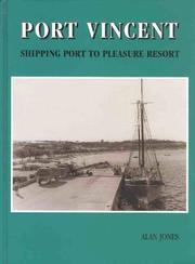

Search results from Open Library.
Recent natural events nearby
Ground air-quality sensors
Recently spotted species
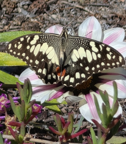
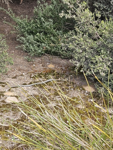
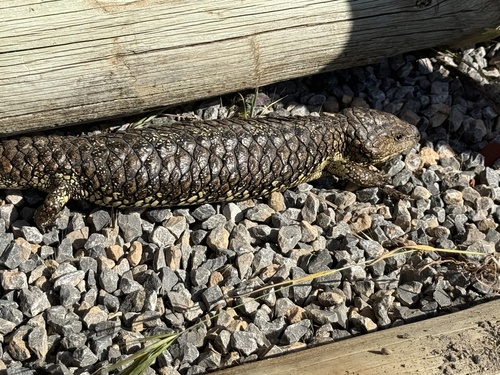
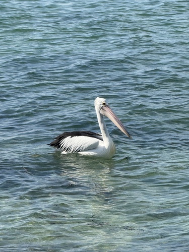
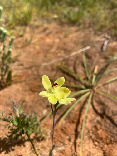
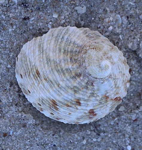
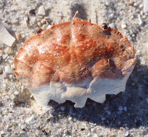
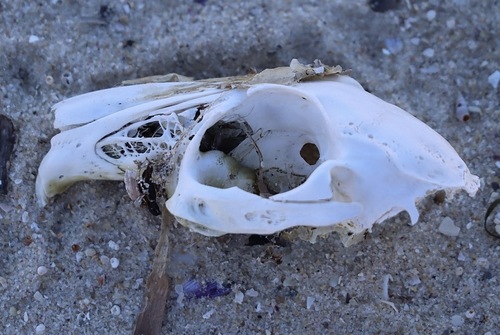
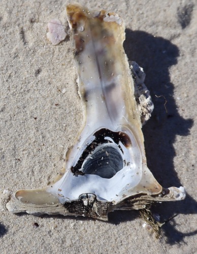
Research-grade observations from iNaturalist (within ~15 mi).
Events
Gallery
Geotagged photos within ~6 miles of Port Vincent, from Wikimedia Commons contributors.


Photos via Wikimedia Commons — see each image page for license & attribution.
Sources
- • Wikipedia
- • Open-Meteo (ERA5 reanalysis)
- • Wikimedia Commons
- • Wikidata
- • Open-Meteo Air Quality (CAMS)
- • USGS Earthquake Catalog (global feed)
- • GBIF (Global Biodiversity Information Facility)
- • iNaturalist
- • Open-Meteo / sunrise-sunset.org
- • Wikipedia Pageviews API
- • Open Library