Browse / Australia / Northern Territory / Daly Waters
Daly Waters
Northern Territoryhamlet

Daly Waters
Total population
55
Air quality index
Demographic figures from Australian Bureau of Statistics. Overview below cites Wikipedia and may reference a different year.
City facts
Overview
Daly Waters is a town and locality in the Northern Territory of Australia, located about 620 kilometres (390 mi) south of the territory capital of Darwin at the intersection of the Carpentaria Highway and the Stuart Highway. In the 2021 census, the locality of Daly Waters had a population of 55 people.
Read more on WikipediaHistory & geography
History
The name Daly Waters was given to a series of natural springs by John McDouall Stuart during his third attempt to cross Australia from south to north, in 1861–62. Stuart named the springs after the new Governor of South Australia, Sir Dominick Daly. Stuart's first attempt, in 1860, had reached Tennant Creek. The second, in early 1861, pushed further north but again Stuart turned back. The third journey left Adelaide in October 1861 and reached Daly Waters on 28 May. The party had been pushing through difficult lancewood scrub and harsh terrain at a little over a kilometre a day. This journey was successful, reaching the north coast near modern Darwin on 24 July 1862. Stuart's Tree has an 'S' carved into it by Stuart during his journey. The Overland Telegraph Line reached Daly Waters from the north in June 1872 and for two months a 'pony express' carried messages the 421 km to Tennant Creek via Renner Springs. Daly Waters Airfield was a refuelling stop for the London to Melbourne air race of 1919, a refuelling stop for early Qantas flights to Singapore, a World War II Airforce base, including a field hospital, and more recently an operational base for joint military manoeuvres. Although the aerodrome was closed to commercial traffic in 1969, the original Qantas hangar still stands, housing exhibits of photographs and equipment from the area's aviation past. The traditional owners of the area became the fourth Indigenous group in the Northern Territory to gain native title over both the townsite and ten surrounding pastoral leases covering an area of . The Federal Court of Australia had a special ceremonial sitting on nearby Newcastle Waters Station to commemorate the occasion.
Excerpted from the corresponding Wikipedia article (CC BY-SA).
Geography
Coordinates & boundaries from the US Census TIGER/Line shapefiles.
Climate
Air quality
Current readings from Open-Meteo Air Quality API (Copernicus CAMS European reanalysis).
Walkability
Amenities nearby
Wildlife & biodiversity
Most-observed species
- ApostlebirdStruthidea cinerea Gould, 1837 · Aves225
- Great BowerbirdChlamydera nuchalis (Jardine & Selby, 1830) · Aves177
- Magpie-larkGrallina cyanoleuca (Latham, 1802) · Aves169
- Crested PigeonOcyphaps lophotes (Temminck, 1822) · Aves154
- Black KiteMilvus migrans (Boddaert, 1783) · Aves147
- Willie-wagtailRhipidura leucophrys (Latham, 1802) · Aves139
- Red-collared LorikeetTrichoglossus rubritorquis Vigors & Horsfield, 1827 · Aves137
- GalahEolophus roseicapilla (Vieillot, 1817) · Aves135
Citizen-science & research observations from the Global Biodiversity Information Facility (GBIF).
Earthquake history
Events from the USGS Earthquake Catalog (global) (FDSN Event Web Service).
Photos
Sights & places nearby
Notable people from here
Nearby places in Northern Territory
- Hodgson River Station67.3 mi away
- Minyerri85.6 mi away · pop. 650
- Barunga124.1 mi away · pop. 337
- McArthur River Mine179.8 mi away
- Bobs Yard183.9 mi away
- Seale Yard189.8 mi away
- Gilwi191.1 mi away · pop. 29
- Borroloola195.3 mi away · pop. 755
- Myatt195.5 mi away · pop. 122
- Timber Creek196.3 mi away · pop. 278
- Wandangula198 mi away
- Sandridge198.2 mi away
Geography & sun
Elevation, sunrise/sunset and daylight from Open-Meteo. Solar climatology from NASA POWER.
Nearby airports
Public attention
Pageview totals from the Wikimedia Pageviews API.
Books about Daly Waters


Search results from Open Library.
Recent natural events nearby
Ground air-quality sensors
Recently spotted species
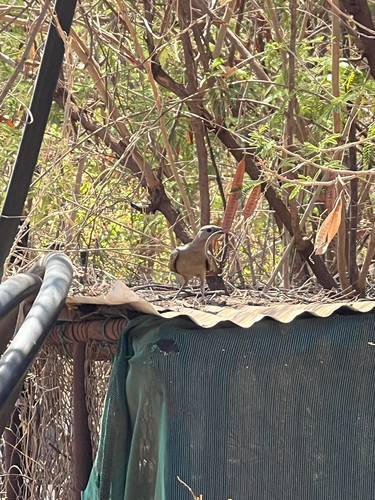
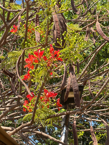
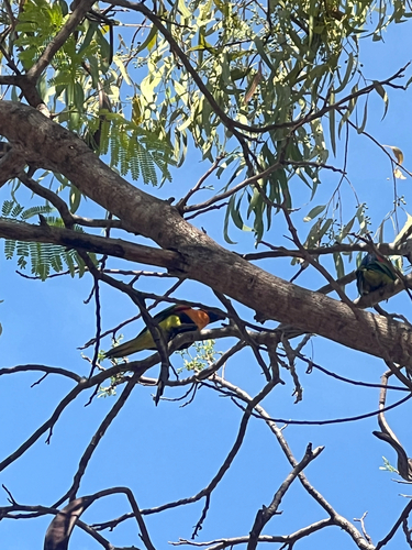
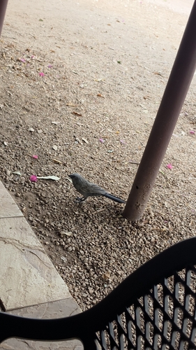
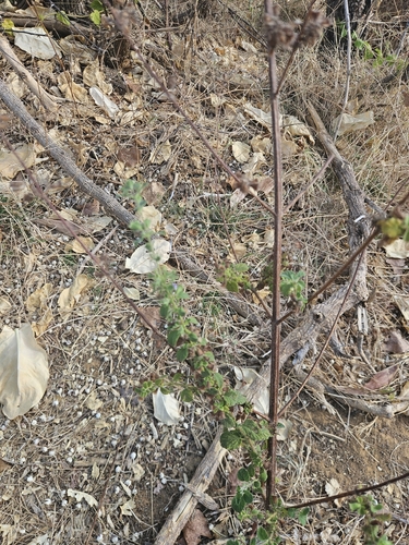
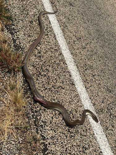
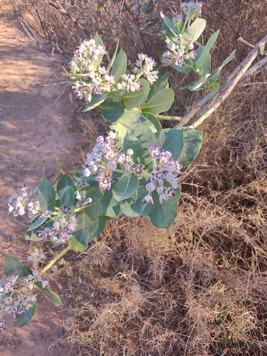
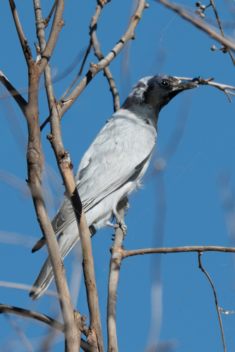
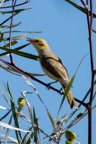
Research-grade observations from iNaturalist (within ~15 mi).
Events
Gallery
Official Identifiers
ABS — Australian Bureau of Statistics
- ASGS 2021
- SAL70072
- Population (Wikidata)
- 9
- Wikidata
- Q17935
ASGS 2021 ID via Wikidata P10112
Sources
- • Wikipedia
- • Wikidata
- • Open-Meteo Air Quality (CAMS)
- • USGS Earthquake Catalog (global feed)
- • GBIF (Global Biodiversity Information Facility)
- • iNaturalist
- • Open-Meteo / sunrise-sunset.org
- • Wikipedia Pageviews API
- • Open Library
- • ABS — Australian Bureau of Statistics — ASGS 2021 ID via Wikidata P10112