Browse / Australia / Victoria / Echuca
Echuca
Victoriatown

Echuca
Total population
13,764
Demographic figures from Australian Bureau of Statistics. Overview below cites Wikipedia and may reference a different year.
City facts
Facts from Wikidata (CC0).
Overview
Echuca is a town on the banks of the Murray River and Campaspe River in Victoria, Australia. The border town of Moama is adjacent on the northern side of the Murray River in New South Wales. Echuca is the administrative centre and largest settlement in the Shire of Campaspe. As of the 2021 census, Echuca had a population of 15,056, and the population of the combined Echuca and Moama townships was 22,568.
Read more on WikipediaHistory & geography
History
The riverine plains of the Goulburn Broken catchment are the traditional lands of the Yorta Yorta nation. Their population before European contact is estimated to have been approximately 2400. The Yorta Yorta were dispossessed of their traditional lands and left to eke out an existence on the edges of European settlements as remnant tribal groups. Present-day Echuca was founded by one of the most enterprising figures of the early colonial period, an ex-convict named Henry Hopwood. In 1850 he purchased a small punt to ferry people and goods across the Murray River near the Campaspe junction. The small settlement known as Hopwood's Ferry grew to become the town of Echuca. The Hopwood's Punt Post Office opened around 1854 and was renamed Echuca Post Office on 1 January 1855. By the 1870s, Echuca had risen to prominence as Australia's largest inland port. Being the point of shortest distance between the Murray River and the major city of Melbourne, Echuca was both a key river port and railway junction. Paddle steamers would arrive at the 332-metre long redgum Echuca Wharf, were unloaded by hydraulic crane, and the goods then transported by rail to Melbourne. Wool, wheat, other grains, livestock, and timber were the most common commodities transported to Echuca. The wharf has been listed as a Heritage Place on the Australian National Heritage List. This industrial boom led to a rapidly expanding population, from 26 inhabitants in 1854 to 4789 during the peak year of 1871. More than 80 pubs/hotels serviced the needs of the town, but it is rumoured that many more sly-grog shops, wine shanties, and beer houses, circumventing licensing laws existed in the area. An iron bridge was constructed over the Murray River in 1878 by the NSW Railways Department. The expansion of the…
Geography
Situated at the junction of the Murray and Campaspe Rivers, Echuca lies on the Northern Plains Grassland. It is flood prone. In Yorta Yorta, the name Echuca translates as “meeting of the waters”. Echuca has a cold semi-arid climate (BSk) with Mediterranean climate (Csa) tendencies, with warm to hot, dry summers and cool to cold winters that are quite cloudy.
Excerpted from the corresponding Wikipedia article (CC BY-SA).
Geography
Coordinates & boundaries from the US Census TIGER/Line shapefiles.
Climate
Air quality
Walkability
Amenities nearby
Wildlife & biodiversity
Most-observed species
- Australian MagpieGymnorhina tibicen (Latham, 1802) · Aves1,850
- GalahEolophus roseicapilla (Vieillot, 1817) · Aves1,830
- White-plumed HoneyeaterPtilotula penicillata (Gould, 1837) · Aves1,770
- Superb FairywrenMalurus cyaneus (Ellis, 1782) · Aves1,681
- Red WattlebirdAnthochaera carunculata (Shaw, 1790) · Aves1,408
- Magpie-larkGrallina cyanoleuca (Latham, 1802) · Aves1,396
- Brown TreecreeperClimacteris picumnus Temminck, 1824 · Aves1,288
- Crimson RosellaPlatycercus elegans (Gmelin, 1788) · Aves1,152
Citizen-science & research observations from the Global Biodiversity Information Facility (GBIF).
Earthquake history
Most recent
- M 3 — 2018-07-2318 km S of Cohuna, Australia
- M 3 — 2010-05-268 km E of Rochester, Australia
- M 3.6 — 2003-12-2940 km WNW of Deniliquin, Australia
- M 2.5 — 2002-08-0910 km ESE of Kyabram, Australia
- M 3.3 — 2002-01-225 km WNW of Rochester, Australia
Events from the USGS Earthquake Catalog (global) (FDSN Event Web Service).
Photos
Sights & places nearby
Notable people from here


People born within ~10 km, from Wikidata (CC0). Click any name for their Wikipedia article.
Nearby places in Victoria
Geography & sun
Elevation, sunrise/sunset and daylight from Open-Meteo. Solar climatology from NASA POWER.
Nearby airports
Public attention
Pageview totals from the Wikimedia Pageviews API.
Books about Echuca
Search results from Open Library.
Recent natural events nearby
Ground air-quality sensors
Recently spotted species
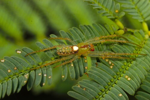
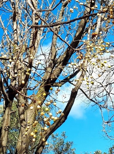
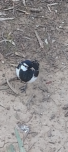
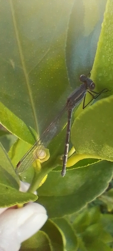
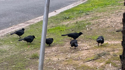
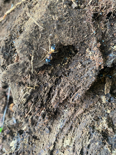
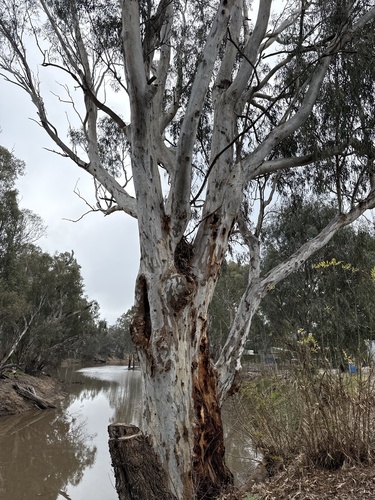
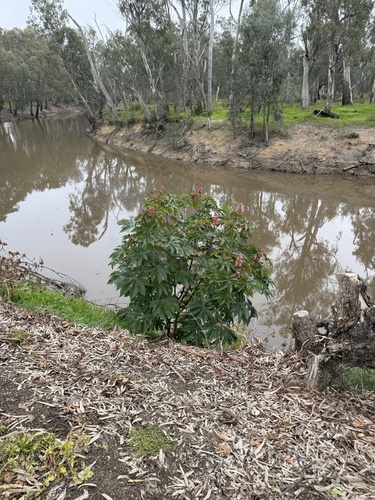
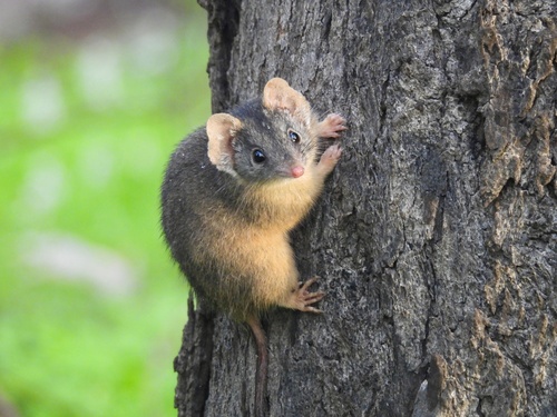
Research-grade observations from iNaturalist (within ~15 mi).
Events
Gallery
Geotagged photos within ~6 miles of Echuca, from Wikimedia Commons contributors.
 0.1 mi
 0.1 mi
 0.1 mi
 0.1 mi
 0.2 mi
 0.3 mi
 0.4 mi
 0.4 mi
.jpg) 0.4 mi
0.4 mi.jpg) 0.4 mi
0.4 mi.jpg) 0.4 mi
0.4 mi.jpg) 0.4 mi
0.4 mi.jpg) 0.4 mi
0.4 mi.jpg) 0.4 mi
0.4 mi.jpg) 0.4 mi
0.4 mi.jpg) 0.4 mi
0.4 mi.jpg) 0.4 mi
0.4 mi.jpg) 0.4 mi
0.4 mi.jpg) 0.4 mi
0.4 mi.jpg) 0.4 mi
0.4 mi.jpg) 0.4 mi
0.4 mi 0.4 mi
_-_panoramio.jpg) 0.4 mi
0.4 mi 0.4 mi
Photos via Wikimedia Commons — see each image page for license & attribution.
Sources
- • Wikipedia
- • Wikimedia Commons
- • Wikidata
- • USGS Earthquake Catalog (global feed)
- • GBIF (Global Biodiversity Information Facility)
- • iNaturalist
- • Open-Meteo / sunrise-sunset.org
- • Wikipedia Pageviews API
- • Open Library