Browse / Australia / Victoria / Lockington
Lockington
Victoriavillage

Lockington
Air quality index
Demographic figures from Australian Bureau of Statistics. Overview below cites Wikipedia and may reference a different year.
City facts
Overview
Lockington is a town in northern Victoria, Australia in the Shire of Campaspe local government area, 198 kilometres north of the state capital, Melbourne. At the 2021 census, Lockington had a population of 850.
Read more on WikipediaHistory & geography
History
For over 26,000 years, the Dja Dja Wurrung, Taungurung and Yorta Yorta people had made the area around Lockington their home. Prior to early settlement, these groups were the primary custodians of the land, maintaining it whilst also practising their culture upon it. The first trace of European settlement can be traced back to the 1840s when it was owned by squatters under lease-hold tenure. At the time the whole area surrounding the present location of Lockington, an area made up of approximately 42,000 hectares, was known as Pine Grove and was owned by John Hunter Patterson. This land would go on to be sub-divided into East and West in 1864. The East was owned by Myles Patterson, who went on to sell it to Hugh and Robert John Glass in 1867. The East went on to switch ownership two more times, first going to Adam Burness in 1867 and then to W.J. Clarke in 1871. However with the gold rush subsiding in the 1860s, unemployment within the area rose drastically leading to multiple requests by locals to the state government to allow for farming. With the approval for farming being granted, there was another influx of people into Pine Grove in 1873. This in turn also led to the majority of Aboriginal tribes around the area to disappear. With the expansion of farming in the area, challenges around water supply would commonly be present, despite the creation of dams which in turn led to wells becoming an important source of water. As the area continued to grow, new schools were established but were moved around depending on the number of children in the specific districts. After the severe drought of the 1890s in Victoria, there were multiple attempts to create irrigation schemes for the state. With no other places holding such a name, Lockington was officially gazetted in…
Excerpted from the corresponding Wikipedia article (CC BY-SA).
Geography
Coordinates & boundaries from the US Census TIGER/Line shapefiles.
Climate
Air quality
Current readings from Open-Meteo Air Quality API (Copernicus CAMS European reanalysis).
Walkability
Amenities nearby
Wildlife & biodiversity
Most-observed species
- Australian MagpieGymnorhina tibicen (Latham, 1802) · Aves819
- GalahEolophus roseicapilla (Vieillot, 1817) · Aves569
- Maned DuckChenonetta jubata (Latham, 1801) · Aves386
- Crested PigeonOcyphaps lophotes (Temminck, 1822) · Aves384
- Pacific Black DuckAnas superciliosa J.F.Gmelin, 1789 · Aves361
- Magpie-larkGrallina cyanoleuca (Latham, 1802) · Aves357
- African BoxthornLycium ferocissimum Miers · Magnoliopsida347
- Superb FairywrenMalurus cyaneus (Ellis, 1782) · Aves307
Citizen-science & research observations from the Global Biodiversity Information Facility (GBIF).
Earthquake history
Most recent
- M 3 — 2018-07-2318 km S of Cohuna, Australia
- M 3 — 2010-05-268 km E of Rochester, Australia
- M 2.7 — 2007-12-0938 km SE of Charlton, Australia
- M 3.6 — 2003-12-2940 km WNW of Deniliquin, Australia
- M 2.5 — 2002-08-0910 km ESE of Kyabram, Australia
- M 3.3 — 2002-01-225 km WNW of Rochester, Australia
Events from the USGS Earthquake Catalog (global) (FDSN Event Web Service).
Photos
Sights & places nearby
Notable people from here


People born within ~10 km, from Wikidata (CC0). Click any name for their Wikipedia article.
Nearby places in Victoria
Geography & sun
Elevation, sunrise/sunset and daylight from Open-Meteo. Solar climatology from NASA POWER.
Nearby airports
Public attention
Pageview totals from the Wikimedia Pageviews API.
Books about Lockington

Search results from Open Library.
Recent natural events nearby
Ground air-quality sensors
Recently spotted species
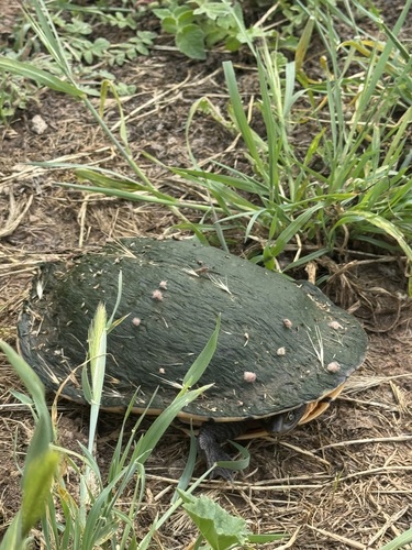
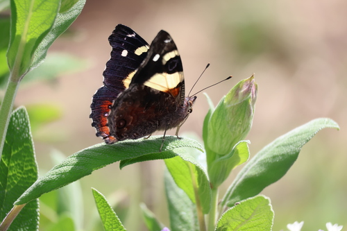
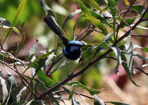
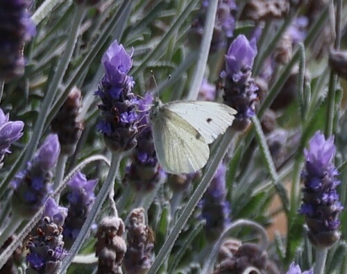
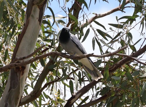
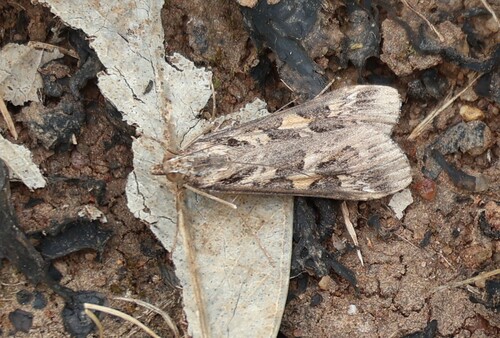
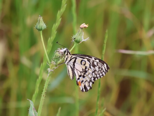
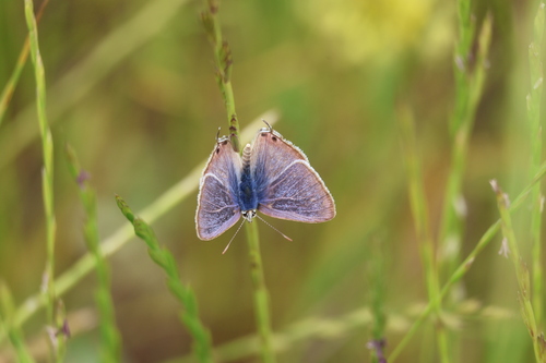
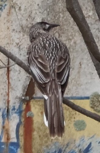
Research-grade observations from iNaturalist (within ~15 mi).
Events
Gallery
Sources
- • Wikipedia
- • Wikidata
- • Open-Meteo Air Quality (CAMS)
- • USGS Earthquake Catalog (global feed)
- • GBIF (Global Biodiversity Information Facility)
- • iNaturalist
- • Open-Meteo / sunrise-sunset.org
- • Wikipedia Pageviews API
- • Open Library