Browse / Australia / South Australia / Eudunda
Eudunda
South Australiatown

Eudunda
Total population
601
Air quality index
Demographic figures from Australian Bureau of Statistics. Overview below cites Wikipedia and may reference a different year.
City facts
Facts from Wikidata (CC0).
Overview
Eudunda is an agricultural service town in the Mid North region of South Australia, 111 kilometres north-east of Adelaide in the jurisdiction of the Regional Council of Goyder. As of 2021, the town had a population of 601 people. Eudunda is renowned as the birthplace of author and educator Colin Thiele.
Read more on WikipediaHistory & geography
History
Eudunda is within the traditional lands of the Ngadjuri people. The first Europeans in the area were those travelling to Adelaide markets from New South Wales and Queensland in the 1830s. In 1838, four livestock importers from the eastern colonies, John Hill, William Wood, Charles Willis and John Oakden, embarked on a journey to bring livestock overland from New South Wales to South Australia, following the Murray River, naming landmarks along the way. Shortly after, pastoralists such as Frederick Dutton took up sheep grazing runs in the area. Eudunda township was established in 1870 by John Henry Hannan, who owned the land that was surveyed and divided for sale. The first European settlers were primarily German Lutheran immigrants. In 1874, Friedrich Gotthilf Ernst Appelt opened Appelt's General Store on South Terrace. The building is listed on the South Australian Heritage Register. The town became the centre of local government in 1878 with the establishment of the District Council of Neales, which operated until 1932 when it merged with the District Council of Julia to create the District Council of Eudunda. It continued until 1997 when it was replaced by the formation of the Regional Council of Goyder. A major business, founded in 1884 by Johannes Wiesner and Gustav Hilbig, was the Eudunda Machine Factory, known for its forges and production of plough and scarifier shares. The business changed hands several times, with Carl and Heinrich Lutz taking over in 1895 and gaining recognition for their strippers, which were widely sold in New South Wales and Victoria. Theodor and Georg Jansen took over in 1905, expanding the business and diversifying into servicing motor vehicles when they started to became more prevalent. In 1951, Johannes and Leslie Reimann acquired…
Excerpted from the corresponding Wikipedia article (CC BY-SA).
Geography
Coordinates & boundaries from the US Census TIGER/Line shapefiles.
Climate
10-year averages from ERA5 reanalysis (Open-Meteo).
Air quality
Current readings from Open-Meteo Air Quality API (Copernicus CAMS European reanalysis).
Walkability
Amenities nearby
Wildlife & biodiversity
Most-observed species
- Pygmy Bluetongue LizardTiliqua adelaidensis (Peters, 1863) · Squamata553
- Australian MagpieGymnorhina tibicen (Latham, 1802) · Aves126
- GalahEolophus roseicapilla (Vieillot, 1817) · Aves99
- Crimson RosellaPlatycercus elegans (Gmelin, 1788) · Aves82
- Striated PardalotePardalotus striatus (Gmelin, 1789) · Aves64
- Little RavenCorvus mellori Mathews, 1912 · Aves53
- European StarlingSturnus vulgaris Linnaeus, 1758 · Aves53
- Willie-wagtailRhipidura leucophrys (Latham, 1802) · Aves51
Citizen-science & research observations from the Global Biodiversity Information Facility (GBIF).
Earthquake history
Most recent
- M 4.4 — 2020-05-1415 km WSW of Burra, Australia
- M 3.2 — 2018-08-0811 km WNW of Mannum, Australia
- M 3.9 — 2017-02-019 km NW of Murray Bridge, Australia
- M 2.7 — 2007-08-0323 km SSE of Burra, Australia
- M 2.5 — 2007-06-1226 km E of Angaston, Australia
- M 2.7 — 2006-08-2641 km NE of Kapunda, Australia
Events from the USGS Earthquake Catalog (global) (FDSN Event Web Service).
Photos
Sights & places nearby
Notable people from here


People born within ~10 km, from Wikidata (CC0). Click any name for their Wikipedia article.
Nearby places in South Australia
- Hampden2.5 mi away
- Hamilton12.3 mi away · pop. 23
- Alma Vale13.5 mi away
- Kapunda15 mi away · pop. 2,633
- Penrice21.1 mi away
- Greenock21.4 mi away · pop. 1,045
- Shea-Oak Log28 mi away
- Roseworthy31.4 mi away · pop. 987
- Hoyleton31.8 mi away · pop. 46
- Clare35.9 mi away · pop. 3,379
- Burra35.9 mi away · pop. 922
- Springton36.8 mi away · pop. 398
Geography & sun
Elevation, sunrise/sunset and daylight from Open-Meteo. Solar climatology from NASA POWER.
Nearby airports
Public attention
Pageview totals from the Wikimedia Pageviews API.
Books about Eudunda
Search results from Open Library.
Recent natural events nearby
Ground air-quality sensors
Recently spotted species
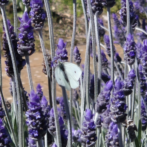
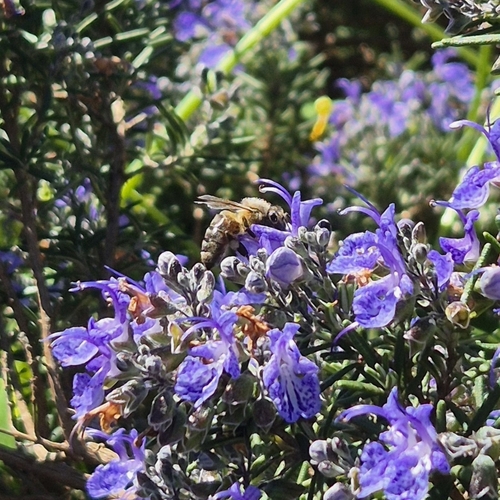
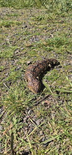
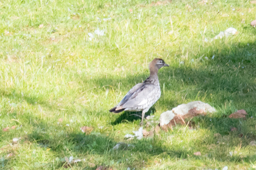
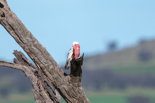
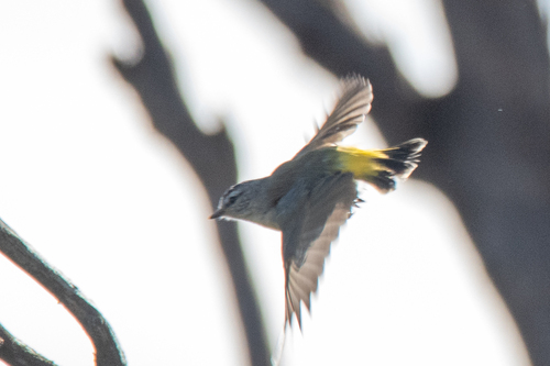
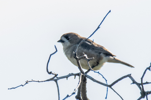
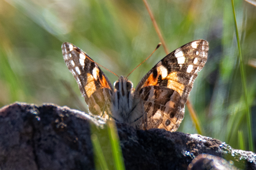
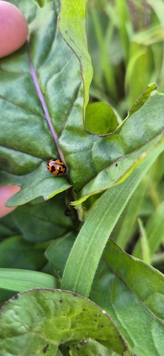
Research-grade observations from iNaturalist (within ~15 mi).
Events
Gallery
Geotagged photos within ~6 miles of Eudunda, from Wikimedia Commons contributors.


.jpg)


Photos via Wikimedia Commons — see each image page for license & attribution.
Sources
- • Wikipedia
- • Open-Meteo (ERA5 reanalysis)
- • Wikimedia Commons
- • Wikidata
- • Open-Meteo Air Quality (CAMS)
- • USGS Earthquake Catalog (global feed)
- • GBIF (Global Biodiversity Information Facility)
- • iNaturalist
- • Open-Meteo / sunrise-sunset.org
- • Wikipedia Pageviews API
- • Open Library