Browse / Australia / Queensland / Eulo
Eulo
Queenslandvillage

Eulo
Demographic figures from Australian Bureau of Statistics. Overview below cites Wikipedia and may reference a different year.
City facts
Overview
Eulo is an outback town and locality in the Shire of Paroo, Queensland, Australia. It is known for its opal mining. In the 2021 census, the locality of Eulo had a population of 94 people.
Read more on WikipediaHistory & geography
History
Prior to European settlement, Eulo was in the area of the Kalali people. Margany (also known as Marganj, Mardigan, Marukanji, Maranganji) is an Australian Aboriginal language spoken by the Margany people. The Margany language region includes the landscape within the local government boundaries of the Quilpie Shire, taking in Quilpie, Cheepie and Beechal extending towards Eulo and Thargomindah, as well as the properties of Dynevor Downs and Ardoch. Vincent Dowling (1835–1903) began exploring in south west Queensland, tracing the Paroo and the Bulloo Rivers to their sources, and in 1861, established Caiwarroo and Eulo stations, and later a pastoral lease of Thargomindah. The town takes its name from a settlement on the Paroo River first appearing on an 1872 map of Queensland map. A town reserve was proclaimed in 1874 described as "near the Eulo waterhole". A Court of Petty Sessions was established on 18 August 1880 and operated until 31 December 1964. A telegraph office opened in 1881. Stage coach driver Billy Chute (William Tuite) later went on to run the Gladstone Hotel with his wife Margaret. The last Cobb and Co. coach ran in Australia in 1920. The Eulo Provisional School opened on 7 May 1888. On 1 January 1909 it became the Eulo State School. Over time, there were a number of public hotels: * Eulo Hotel (established 1868) with licensee (G)eorge Felix Davies. The name was changed to the Royal Mail Hotel (), then the licence went to Richard Robinson and his wife Isabel Gray whence it was renamed as the Empire Hotel in May 1894, before closing in 1898. Frank Hickling was also identified as a proprietor of the Empire in 1896. : A robbery of the Empire Hotel occurred in May 1896 during a ball where the landlord's safe was removed, with over £50 cash and…
Geography
Eulo is west of Cunnamulla and west of Brisbane. The town is located beside and to the east of the Paroo River which flows in a roughly north–south direction. This results in flooding events that affects people, livestock, and wildlife. With Cyclone Audrey in mid-January 1964, the town experienced of rain in one twenty-four hour period, which was double the previous record of 1887. Former-Cyclone Dianne saw flood waters came south from Longreach, resulting in the Paroo breaching the town's levee on Saturday, 29 March 2025. Occupants of only three houses were impacted, and sixty persons in the town otherwise unaffected. The Bulloo Developmental Road (part of the Adventure Way) connects Eulo to Cunnamulla to the east and Thargomindah to the west. Preferring barren, dry, rocky sites in only a few selected locations in Australia, the flowering Prostanthera megacalyx shrub can be found in the Eulo area.
Excerpted from the corresponding Wikipedia article (CC BY-SA).
Geography
Coordinates & boundaries from the US Census TIGER/Line shapefiles.
Climate
Air quality
Walkability
Amenities nearby
Wildlife & biodiversity
Most-observed species
- Willie-wagtailRhipidura leucophrys (Latham, 1802) · Aves400
- Crested PigeonOcyphaps lophotes (Temminck, 1822) · Aves292
- Australian RavenCorvus coronoides Vigors & Horsfield, 1827 · Aves268
- Magpie-larkGrallina cyanoleuca (Latham, 1802) · Aves265
- Red-capped RobinPetroica goodenovii (Vigors & Horsfield, 1827) · Aves264
- Spiny-cheeked HoneyeaterAcanthagenys rufogularis Gould, 1838 · Aves261
- Singing HoneyeaterGavicalis virescens (Vieillot, 1817) · Aves254
- Zebra FinchTaeniopygia guttata (Vieillot, 1817) · Aves223
Citizen-science & research observations from the Global Biodiversity Information Facility (GBIF).
Earthquake history
Events from the USGS Earthquake Catalog (global) (FDSN Event Web Service).
Photos
Sights & places nearby
Notable people from here
Nearby places in Queensland
- Thargomindah75.6 mi away · pop. 194
- Cheepie105.9 mi away
- Quilpie117 mi away · pop. 451
- Nockatunga145.7 mi away
- Bollon148.5 mi away
- Morven175.1 mi away
- Augathella189 mi away · pop. 328
- Dirranbandi195.6 mi away · pop. 364
- Bayrick200.8 mi away
- Mitchell213.8 mi away · pop. 835
- Yaraka234.3 mi away
- Nappa Merrie HS243.8 mi away
Geography & sun
Elevation, sunrise/sunset and daylight from Open-Meteo. Solar climatology from NASA POWER.
Nearby airports
Public attention
Pageview totals from the Wikimedia Pageviews API.
Books about Eulo
Search results from Open Library.
Recent natural events nearby
Ground air-quality sensors
Recently spotted species
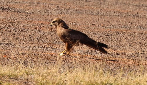
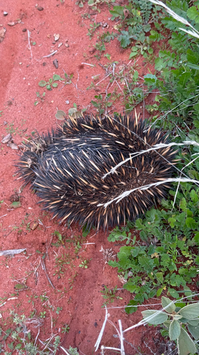
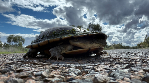
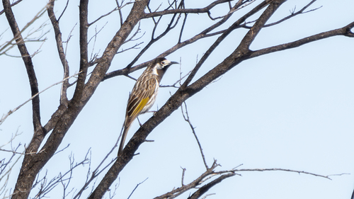
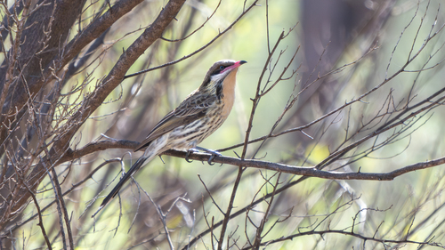
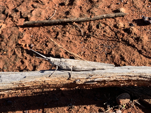
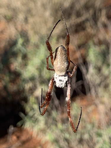
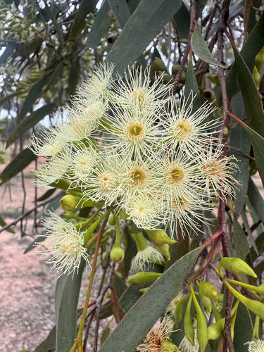
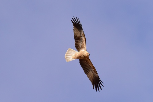
Research-grade observations from iNaturalist (within ~15 mi).
Events
Gallery
Geotagged photos within ~6 miles of Eulo, from Wikimedia Commons contributors.


Photos via Wikimedia Commons — see each image page for license & attribution.
Official Identifiers
ABS — Australian Bureau of Statistics
- ASGS 2021
- SAL30994
- Population (Wikidata)
- 94
- Wikidata
- Q1373889
ASGS 2021 ID via Wikidata P10112
Sources
- • Wikipedia
- • Wikimedia Commons
- • Wikidata
- • USGS Earthquake Catalog (global feed)
- • GBIF (Global Biodiversity Information Facility)
- • iNaturalist
- • Open-Meteo / sunrise-sunset.org
- • Wikipedia Pageviews API
- • Open Library
- • ABS — Australian Bureau of Statistics — ASGS 2021 ID via Wikidata P10112