Browse / Australia / Queensland / Mitchell
Mitchell
Queenslandtown

Mitchell
Total population
835
Air quality index
Demographic figures from Australian Bureau of Statistics. Overview below cites Wikipedia and may reference a different year.
City facts
Overview
Mitchell is a rural town and locality in the Maranoa Region, Queensland, Australia. The town services the local area, a cattle and sheep farming district. In the 2021 census, the locality of Mitchell had a population of 995 people.
Read more on WikipediaHistory & geography
History
Before the arrival of Europeans, the Maranoa region was occupied by the Mandandanji and Gunggari Aboriginal peoples. Based on archaeological excavations in the Mount Moffatt area, it has been deduced that the Aboriginals had lived there for around 19,500 years. Descendants of the original peoples still live in and visit the area today. Mandandanji (also known as Mandandanyi, Mandandanjdji, Kogai) is an Australian Aboriginal language spoken by the Mandandanji people. The Mandandanji language region includes the landscape within the local government boundaries of the Maranoa Regional Council, particularly Roma, Yuleba and Surat, then east towards Chinchilla and south-west towards Mitchell and St George. The town is named after Sir Thomas Mitchell explorer and Surveyor General of New South Wales, who explored the area in 1846. Mitchell State School opened on 1 April 1876 as a primary school. In 1961, it was expanded to include a secondary school. The first St Columba's Catholic Church was officially opened and blessed by Bishop Robert Dunne on Saturday 15 November 1884. On Sunday 24 April 1938, the new St Columba's Catholic Church was officially opened and blessed by Monsignor McKenna of Toowoomba. It was designed by J.P. Donoghue. The timber church was built by contractor F.T. Woollam at a cost of £3000. It can seat 350 people. The foundation block for the first All Saints' Anglican Church in Mitchell was laid by Coadjutor Bishop Nathaniel Dawes on Wednesday 13 November 1889. The church was officially opened on Tuesday 5 August 1890 by Bishop William Webber. It was designed by architect John H. Buckeridge. It was and could seat 150 people. It was built from cypress pine by Roma contractors, Allen Clell & Sons, at a cost of £274. The current All Saints' Anglican…
Geography
Mitchell is on the Warrego Highway, west of Brisbane, west of Toowoomba, west of Miles, west of Roma and east of Charleville. The Warrego Highway passes through town to form the main street, Cambridge Street. The Maranoa River flows around the northern and eastern sides of the town before eventually flowing into the Balonne River. The Western railway passes through the locality, entering from the east (Amby / Walhallow) and exiting to the west (Womalilla). The locality is served by a number of railway stations, from west to east: * Mitchell railway station, a passenger stop in the town () * Marbango railway station, now abandoned () Its IATA airport code is MTQ and its ICAO airport code is YMIT. It is operated by the Maranoa Regional Council and is suitable for light aircraft.
Excerpted from the corresponding Wikipedia article (CC BY-SA).
Geography
Coordinates & boundaries from the US Census TIGER/Line shapefiles.
Climate
Air quality
Current readings from Open-Meteo Air Quality API (Copernicus CAMS European reanalysis).
Walkability
Amenities nearby
Wildlife & biodiversity
Most-observed species
- Magpie-larkGrallina cyanoleuca (Latham, 1802) · Aves114
- Willie-wagtailRhipidura leucophrys (Latham, 1802) · Aves89
- Torresian CrowCorvus orru Bonaparte, 1850 · Aves87
- Australian MagpieGymnorhina tibicen (Latham, 1802) · Aves77
- ApostlebirdStruthidea cinerea Gould, 1837 · Aves77
- White-plumed HoneyeaterPtilotula penicillata (Gould, 1837) · Aves65
- Pied ButcherbirdCracticus nigrogularis (Gould, 1837) · Aves60
- Crested PigeonOcyphaps lophotes (Temminck, 1822) · Aves59
Citizen-science & research observations from the Global Biodiversity Information Facility (GBIF).
Earthquake history
Events from the USGS Earthquake Catalog (global) (FDSN Event Web Service).
Photos
Sights & places nearby
Notable people from here

People born within ~10 km, from Wikidata (CC0). Click any name for their Wikipedia article.
Nearby places in Queensland
- Morven53.5 mi away
- Wallumbilla75.1 mi away · pop. 199
- Condamine136.5 mi away · pop. 129
- Flinton136.8 mi away
- Bayrick140 mi away
- Coongoola150.9 mi away
- Scrubby Creek161.5 mi away
- Talwood165.6 mi away
- Theodore168.5 mi away · pop. 451
- Cheepie183.3 mi away
- Willows Gemfields191.9 mi away · pop. 101
- Jandowae194.6 mi away · pop. 734
Geography & sun
Elevation, sunrise/sunset and daylight from Open-Meteo. Solar climatology from NASA POWER.
Nearby airports
Public attention
Pageview totals from the Wikimedia Pageviews API.
Books about Mitchell
Search results from Open Library.
Recent natural events nearby
Ground air-quality sensors
Recently spotted species
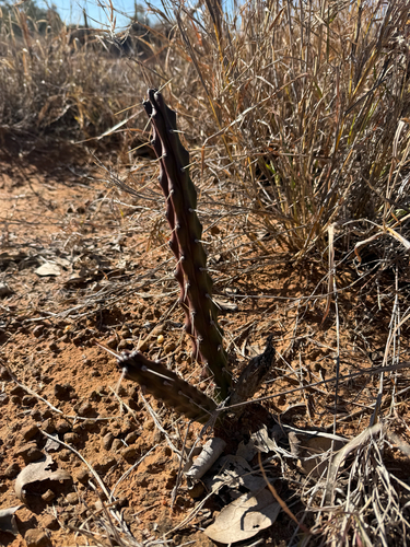
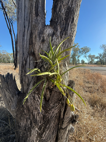
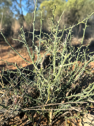
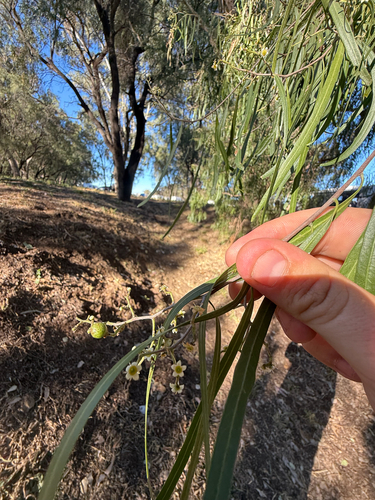
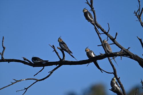
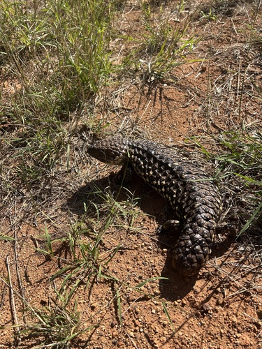
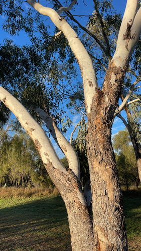
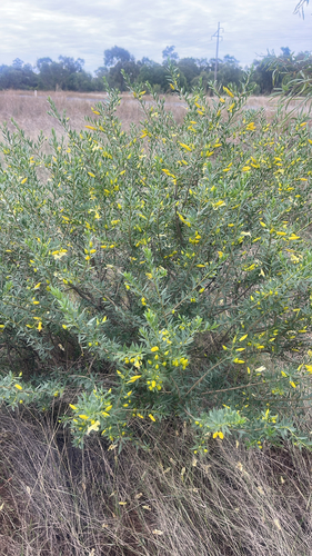
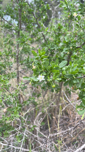
Research-grade observations from iNaturalist (within ~15 mi).
Events
Gallery
Sources
- • Wikipedia
- • Wikidata
- • Open-Meteo Air Quality (CAMS)
- • USGS Earthquake Catalog (global feed)
- • GBIF (Global Biodiversity Information Facility)
- • iNaturalist
- • Open-Meteo / sunrise-sunset.org
- • Wikipedia Pageviews API
- • Open Library