Browse / Australia / South Australia / Fischer
Fischer
South Australiahamlet
Demographic figures from Australian Bureau of Statistics. Overview below cites Wikipedia and may reference a different year.
City facts
Overview
Fischer is a locality in the lower Mid North of South Australia between Gawler and Mallala. Its boundaries were set in 1997 to conform to the long-established local usage of the name. Like many places in South Australia, the name draws from the early settlers that migrated from Prussia (Germany) in the middle of the 19th century to take up land grants in the then new British colony of South Australia. Britain and Prussia were at that time staunch allies, having combined to defeat the French armies of Napoleon at the Battle of Waterloo in 1815. That era resulted in much of the British Royal family and the colony of South Australia being descendant from Prussian stock. The Fischer family settled the area after arrival on one of the early colonial ships. By the 20th century, the Fischer family was farming much of the area. In the 1970s or 1980s the SA Government released a plan for the area to feature a new satellite city, to relieve the pressure on the expanding capital Adelaide, to the south. The family farm of J H (Gordon) Fischer was subdivided and sold in smaller hobby farm allotments. A number of the original farm structures remain.
Read more on WikipediaHistory & geography
Geography
Coordinates & boundaries from the US Census TIGER/Line shapefiles.
Climate
Air quality
Walkability
Amenities nearby
Wildlife & biodiversity
Most-observed species
- Crested PigeonOcyphaps lophotes (Temminck, 1822) · Aves596
- Australian MagpieGymnorhina tibicen (Latham, 1802) · Aves574
- European StarlingSturnus vulgaris Linnaeus, 1758 · Aves532
- Crimson RosellaPlatycercus elegans (Gmelin, 1788) · Aves511
- Willie-wagtailRhipidura leucophrys (Latham, 1802) · Aves501
- White-plumed HoneyeaterPtilotula penicillata (Gould, 1837) · Aves444
- Magpie-larkGrallina cyanoleuca (Latham, 1802) · Aves440
- Singing HoneyeaterGavicalis virescens (Vieillot, 1817) · Aves432
Citizen-science & research observations from the Global Biodiversity Information Facility (GBIF).
Earthquake history
Most recent
- M 3 — 2022-03-293 km ESE of Macclesfield, Australia
- M 4 — 2022-03-053 km SW of Mount Barker, Australia
- M 4.4 — 2020-05-1415 km WSW of Burra, Australia
- M 3.2 — 2018-08-0811 km WNW of Mannum, Australia
- M 3.9 — 2017-02-019 km NW of Murray Bridge, Australia
- M 3.3 — 2011-10-183 km ESE of Hawthorndene, Australia
Events from the USGS Earthquake Catalog (global) (FDSN Event Web Service).
Photos
Sights & places nearby
Notable people from here
Nearby places in South Australia
- Redbanks3.8 mi away · pop. 106
- Templers7.2 mi away
- Roseworthy7.4 mi away · pop. 987
- Hamley Bridge10.2 mi away · pop. 615
- Shea-Oak Log10.9 mi away
- Rosedale12.5 mi away
- Stockport12.8 mi away · pop. 198
- Middle Beach14.3 mi away
- One Tree Hill17.3 mi away · pop. 543
- Greenock17.6 mi away · pop. 1,045
- St Kilda17.6 mi away · pop. 77
- Windsor17.6 mi away
Geography & sun
Elevation, sunrise/sunset and daylight from Open-Meteo. Solar climatology from NASA POWER.
Nearby airports
Public attention
Pageview totals from the Wikimedia Pageviews API.
Books about Fischer





Search results from Open Library.
Recent natural events nearby
Ground air-quality sensors
Recently spotted species
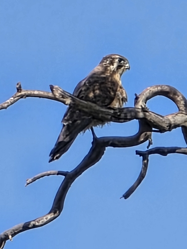
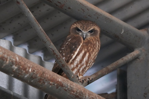
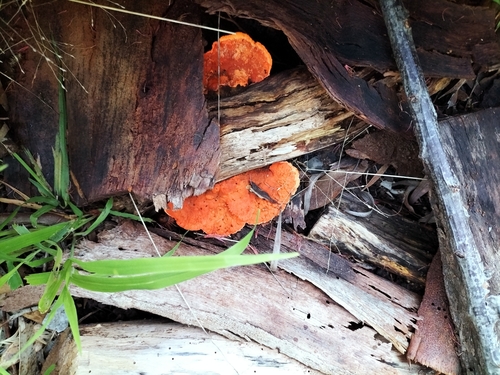
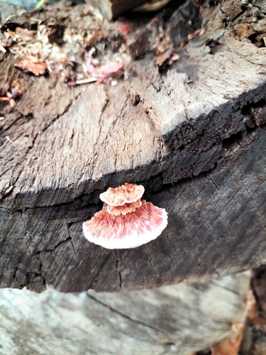
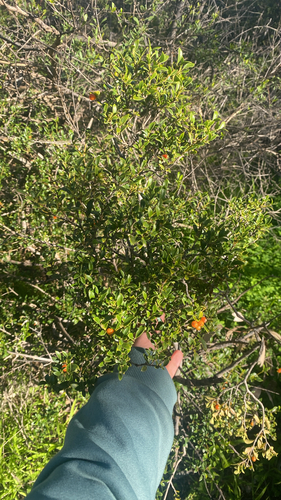
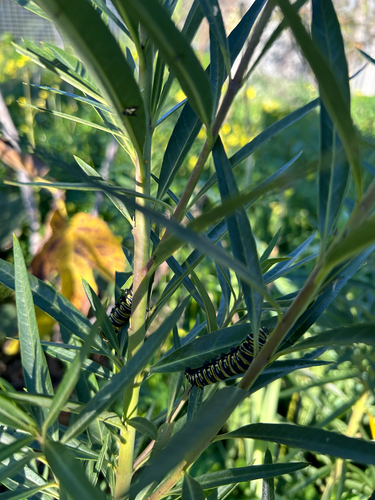
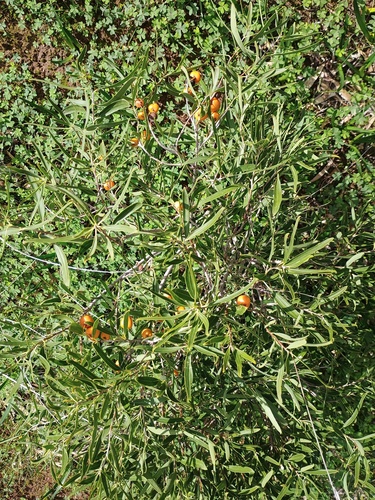
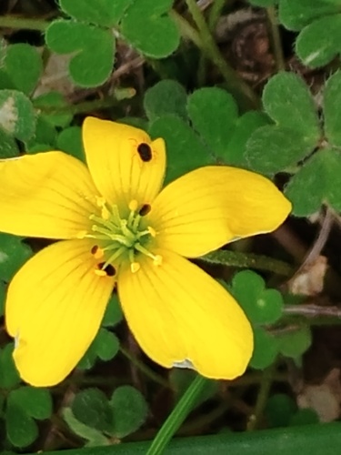
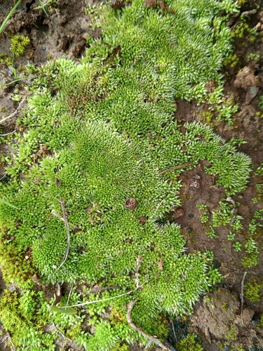
Research-grade observations from iNaturalist (within ~15 mi).
Events
Gallery
Official Identifiers
ABS — Australian Bureau of Statistics
- ASGS 2021
- SAL40439
- Population (Wikidata)
- 62
- Wikidata
- Q38082046
ASGS 2021 ID via Wikidata P10112
Sources
- • Wikipedia
- • USGS Earthquake Catalog (global feed)
- • GBIF (Global Biodiversity Information Facility)
- • iNaturalist
- • Open-Meteo / sunrise-sunset.org
- • Wikipedia Pageviews API
- • Open Library
- • ABS — Australian Bureau of Statistics — ASGS 2021 ID via Wikidata P10112