Browse / Australia / Queensland / Howard
Howard
Queenslandtown

Howard
Total population
1,042
Air quality index
Demographic figures from Australian Bureau of Statistics. Overview below cites Wikipedia and may reference a different year.
City facts
Facts from Wikidata (CC0).
Overview
Howard is a rural town and locality in the Fraser Coast Region, Queensland, Australia. It is a southern boundary of the Dundaburra peoples of the Northern Kabi Kabi Isis districts and surrounds. It is located 284 kilometres (176 mi) north of Brisbane and 37 kilometres (23 mi) west of Hervey Bay. In the 2021 census, the locality of Howard had a population of 1,394 people.
Read more on WikipediaHistory & geography
History
The town was originally known as Steley (after Abel Steley) but was renamed after William Howard, a pioneer in coal mining in the Burrum area. Abel Steley commenced coal mining in the area in 1856. After a series of setbacks, he eventually established the successful Beauford Colliery and the Queensland Collieries Company. In 1877 George Howard and his son William established the Howard Colliery. From the 1860s the coal from the Burrum coalfields was transported to the port at Maryborough for loading onto boats. From 1877 the 44-ton stern-wheel steamer Barbara and Jane commenced navigating the Burrum River to transport the coal to Maryborough. In 1883 the railway line from Maryborough to the Burrum River opened, and was known as the Burrum line. However until the railway bridge was opened in April 1884, the coal could not be transported by this means. Over the decades, various plans were mooted to move the coal, either through a proposed port at the mouth of the Burrum River, or through the deep water port at Urangan. Burrum coalfields coal supplied the Howard power station which operated from 1951 to 1980. The Howard Cemetery, known as Howard Remembrance Park, opened in 1876 (). The first Burrum Post Office opened on 22 July 1878 and was renamed Howard in 1883. Burrum Provisional School opened on 18 February 1879. On 3 October 1884, it was renamed Howard State School. St Matthew's Anglican Church was opened on 3 October 1883 by Bishop Matthew Hale. It was built on of land donated by the Queensland Land and Coal Company. It was made of hardwood and was with walls high, capable of holding 200 people. A new church was dedicated on 29 October 1913 by Archbishop St Clair Donaldson and the old church became the church hall. During World War II the hall was used as…
Geography
Torbanlea is on the east side of the Burrum River and Howard on the west side of the Burrum River. The distance between the towns is , and they were known as twin towns. Maria Creek runs through the town and discharges into the Burrum River downstream of the Howard boat ramp. The Bruce Highway passes through the locality in an east–west direction skirting the edge of the town. Queensland's North Coast railway line passes in a NW-SE direction through the town centre. The main streets of Howard are Steley and William.
Excerpted from the corresponding Wikipedia article (CC BY-SA).
Geography
Coordinates & boundaries from the US Census TIGER/Line shapefiles.
Climate
Air quality
Current readings from Open-Meteo Air Quality API (Copernicus CAMS European reanalysis).
Walkability
Amenities nearby
Wildlife & biodiversity
Most-observed species
- Rainbow LorikeetTrichoglossus haematodus (Linnaeus, 1771) · Aves314
- Willie-wagtailRhipidura leucophrys (Latham, 1802) · Aves307
- Australian MagpieGymnorhina tibicen (Latham, 1802) · Aves304
- Noisy MinerManorina melanocephala (Latham, 1801) · Aves283
- Brown HoneyeaterLichmera indistincta (Vigors & Horsfield, 1827) · Aves267
- Laughing KookaburraDacelo novaeguineae (Hermann, 1783) · Aves263
- Lewin's HoneyeaterMeliphaga lewinii (Swainson, 1837) · Aves258
- Rainbow Bee-eaterMerops ornatus Latham, 1801 · Aves237
Citizen-science & research observations from the Global Biodiversity Information Facility (GBIF).
Earthquake history
Events from the USGS Earthquake Catalog (global) (FDSN Event Web Service).
Photos
Sights & places nearby
Notable people from here
Nearby places in Queensland
Geography & sun
Elevation, sunrise/sunset and daylight from Open-Meteo. Solar climatology from NASA POWER.
Nearby airports
Public attention
Pageview totals from the Wikimedia Pageviews API.
Books about Howard

Search results from Open Library.
Recent natural events nearby
Ground air-quality sensors
Recently spotted species
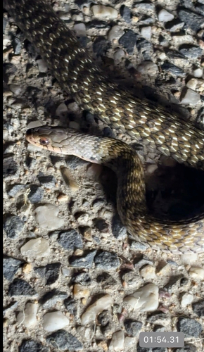
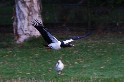
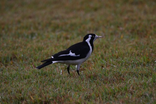
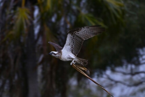
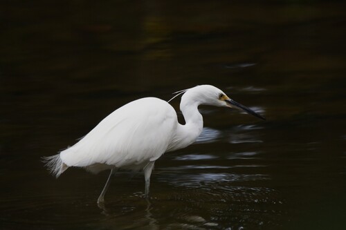
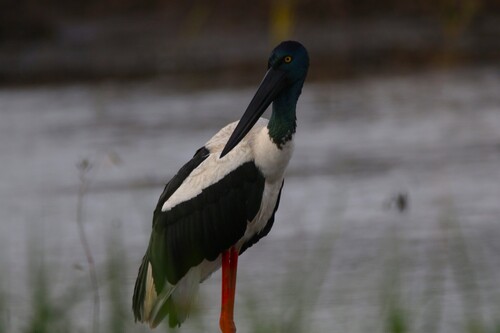
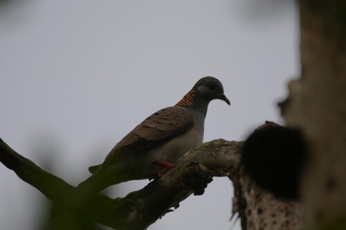
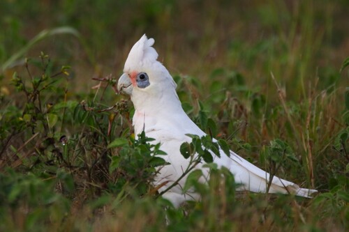
Research-grade observations from iNaturalist (within ~15 mi).
Events
Gallery
Geotagged photos within ~6 miles of Howard, from Wikimedia Commons contributors.


.jpg)


Photos via Wikimedia Commons — see each image page for license & attribution.
Sources
- • Wikipedia
- • Wikimedia Commons
- • Wikidata
- • Open-Meteo Air Quality (CAMS)
- • USGS Earthquake Catalog (global feed)
- • GBIF (Global Biodiversity Information Facility)
- • iNaturalist
- • Open-Meteo / sunrise-sunset.org
- • Wikipedia Pageviews API
- • Open Library