Browse / Australia / Queensland / Tiaro
Tiaro
Queenslandtown

Tiaro
Total population
472
Demographic figures from Australian Bureau of Statistics. Overview below cites Wikipedia and may reference a different year.
City facts
Facts from Wikidata (CC0).
Overview
Tiaro is a rural town and locality in the Fraser Coast Region, Queensland, Australia. In the 2021 census, the locality of Tiaro had a population of 778 people.
Read more on WikipediaHistory & geography
History
The town takes its name from the pastoral run name in the 1840s. It is believed to be a corruption of the Kabi word (Dauwabra dialect) meaning dead trees. Tiaro had one of the first butter factories in Queensland. Baron Jones built the factory near the railway station in the early 1880s and used horses to churn butter. Cheese factories were built at Tiaro in 1890 and 1894. The Tiaro Butter Factory was closed temporarily on 1 July 1897 due to a short supply of milk. The Maryborough Chronicle reported “On the whole the season has been fairly good, but the supply very short for a district like Tiaro. This, however, was principally owing to the winter last year being so severe, also the year before, when great numbers of milking cows died, and last spring being so dry”. Although the factory opened again, it struggled to make a profit. The factory was later relocated to Murgon in 1913 as most of the cream suppliers came from that district. Brown Ridge Provisional School opened in 1908. On 1 January 1909, it became Brown Ridge State School. It closed in 1922, but reopened in 1924. It closed permanently in 1925. The Tiaro library opened in 2006. Historically within the Shire of Tiaro, on 15 March 2008, under the Local Government (Reform Implementation) Act 2007 passed by the Parliament of Queensland on 10 August 2007, the Shire of Tiaro was dissolved. Division 3 of the Shire, located generally south of Blowers Road, Wards Road and Ularrah Creek and including the towns of Theebine, Curra and Gunalda, became part of the new Gympie Region together with the Shires of Cooloola and Kilkivan. The other two divisions (including Tiaro) amalgamated with Woocoo and the Cities of Hervey Bay and Maryborough to create Fraser Coast Region. In doing so, Tiaro became one of the only three…
Geography
The town is on the Mary River. It is situated on the Bruce Highway south of Maryborough and north of the state capital, Brisbane. The North Coast railway line enters the locality from the south-west (Netherby), passes through the town which is served by the Tiaro railway station (), and exits to the north (Owanyilla). Timber and farming are the predominant industries in the Tiaro area, although the town's position on Queensland's main coastal highway also brings economic benefits. There are two neighbourhoods within the locality: * Blackmount in the north of the locality () * Kooringa in the south-west of the locality ().
Excerpted from the corresponding Wikipedia article (CC BY-SA).
Geography
Coordinates & boundaries from the US Census TIGER/Line shapefiles.
Climate
Air quality
Walkability
Amenities nearby
Wildlife & biodiversity
Most-observed species
- Lewin's HoneyeaterMeliphaga lewinii (Swainson, 1837) · Aves162
- Yellow-footed antechinusAntechinus flavipes (Waterhouse, 1838) · Mammalia138
- Tessellated Stick-insectAnchiale austrotessulata Brock & Hasenpusch, 2007 · Insecta134
- Yellow-faced HoneyeaterCaligavis chrysops (Latham, 1801) · Aves109
- Lace monitorVaranus varius (Shaw, 1790) · Squamata106
- Hyacinth OrchidDipodium variegatum M.A.Clem. & D.L.Jones · Liliopsida98
- Rainbow LorikeetTrichoglossus haematodus (Linnaeus, 1771) · Aves93
- Torresian CrowCorvus orru Bonaparte, 1850 · Aves93
Citizen-science & research observations from the Global Biodiversity Information Facility (GBIF).
Earthquake history
Most recent
- M 4.9 — 2025-08-1512 km ESE of Cherbourg, Australia
Events from the USGS Earthquake Catalog (global) (FDSN Event Web Service).
Photos
Sights & places nearby
Notable people from here


People born within ~10 km, from Wikidata (CC0). Click any name for their Wikipedia article.
Nearby places in Queensland
Geography & sun
Elevation, sunrise/sunset and daylight from Open-Meteo. Solar climatology from NASA POWER.
Nearby airports
Public attention
Pageview totals from the Wikimedia Pageviews API.
Books about this place
Recent natural events nearby
Ground air-quality sensors
Recently spotted species
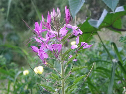
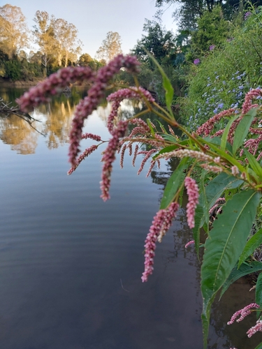
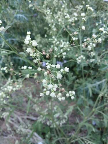
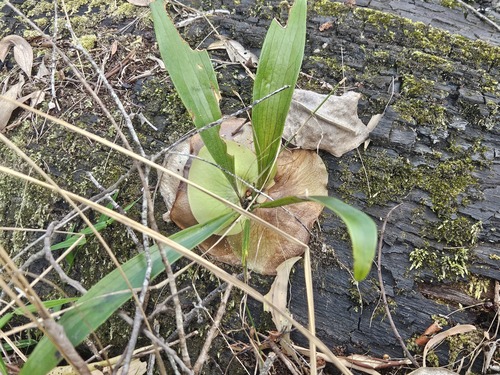
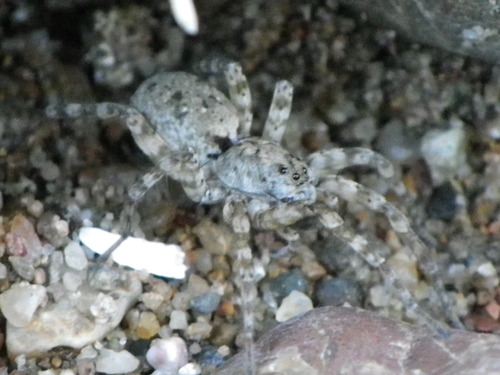
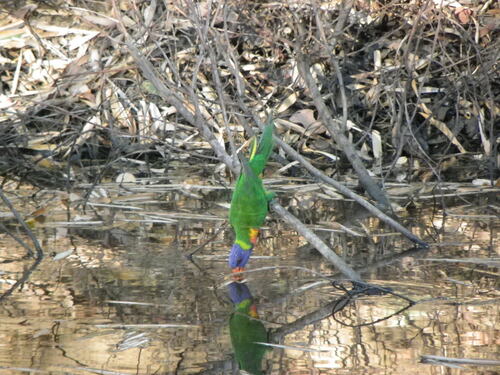
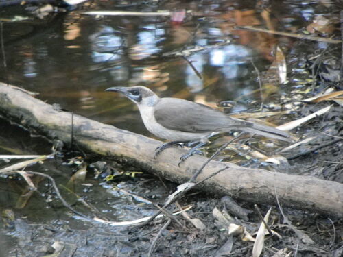
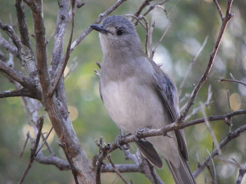
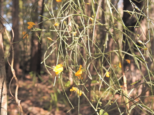
Research-grade observations from iNaturalist (within ~15 mi).
Events
Gallery
Sources
- • Wikipedia
- • Wikidata
- • USGS Earthquake Catalog (global feed)
- • GBIF (Global Biodiversity Information Facility)
- • iNaturalist
- • Open-Meteo / sunrise-sunset.org
- • Wikipedia Pageviews API