Browse / Australia / Queensland / Wolvi
Wolvi
Queenslandhamlet
Demographic figures from Australian Bureau of Statistics. Overview below cites Wikipedia and may reference a different year.
City facts
Facts from Wikidata (CC0).
Overview
Wolvi is a rural locality in the Gympie Region, Queensland, Australia. In the 2021 census, Wolvi had a population of 521 people.
Read more on WikipediaHistory & geography
History
The locality name Wolvi is derived from the Aboriginal word (Kabi language, Dulingbara dialect), wolvai or wollai, meaning a young kangaroo almost weaned. Neusa Vale Provisional School opened on 14 August 1899. In 1906, it was renamed Wolvi Provisional School. On 1 January 1909, it became Wolvi State School. The school's 2024 Annual Report showed enrolments of 25 students in 2022, 27 in 2023, and 28 in 2024. St George's Anglican Church was dedicated on 28 April 1912. It was located just to the west of the Wolvi State School. Circa 1957 the building was sold for removal. Wolvi East Provisional School opened on 27 August 1912 as a half-time school in conjunction with Beenam Range Provisional School (meaning that a single teacher was shared between the two schools). About 1915 or 1916 it became a full-time provisional school. In 1917, it was renamed Coondoo Provisional School. In 1933, it became Coondoo State School. It closed in 1968. It was located on the corner of Kin Kin Road and Stewart Road (). The Wolvi General Store opened just west of the school around 1994, but closed in June 2016.
Geography
Mount Wolvi is in the south-east of the locality (), rising to above sea level. Kin Kin Road enters the locality from the west (Greens Creek) and exits the locality to the south-east (Coondoo).
Excerpted from the corresponding Wikipedia article (CC BY-SA).
Geography
Coordinates & boundaries from the US Census TIGER/Line shapefiles.
Climate
Air quality
Walkability
Amenities nearby
Wildlife & biodiversity
Most-observed species
- Willie-wagtailRhipidura leucophrys (Latham, 1802) · Aves935
- Torresian CrowCorvus orru Bonaparte, 1850 · Aves880
- Rainbow LorikeetTrichoglossus haematodus (Linnaeus, 1771) · Aves785
- Welcome SwallowHirundo neoxena Gould, 1842 · Aves783
- Lewin's HoneyeaterMeliphaga lewinii (Swainson, 1837) · Aves679
- Brown HoneyeaterLichmera indistincta (Vigors & Horsfield, 1827) · Aves677
- Pacific Black DuckAnas superciliosa J.F.Gmelin, 1789 · Aves661
- Australian MagpieGymnorhina tibicen (Latham, 1802) · Aves660
Citizen-science & research observations from the Global Biodiversity Information Facility (GBIF).
Earthquake history
Most recent
- M 4.9 — 2025-08-1512 km ESE of Cherbourg, Australia
Events from the USGS Earthquake Catalog (global) (FDSN Event Web Service).
Photos
Sights & places nearby
Notable people from here
Nearby places in Queensland
- Kin Kin7.9 mi away · pop. 173
- Boreen Point12.9 mi away · pop. 336
- Kandanga19.5 mi away · pop. 234
- Theebine23.6 mi away
- Sunrise Beach24.3 mi away
- Marcus Beach25.9 mi away
- Coolum Beach30.1 mi away
- Big Tuan32.4 mi away
- Mapleton32.7 mi away · pop. 1,014
- Tiaro33.6 mi away · pop. 472
- Bli Bli34.7 mi away
- Montville37.3 mi away
Geography & sun
Elevation, sunrise/sunset and daylight from Open-Meteo. Solar climatology from NASA POWER.
Nearby airports
Public attention
Pageview totals from the Wikimedia Pageviews API.
Books about Wolvi

Search results from Open Library.
Recent natural events nearby
Ground air-quality sensors
Recently spotted species
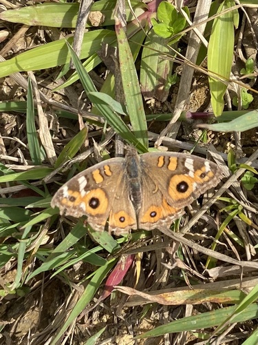
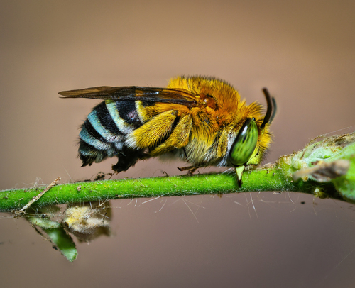
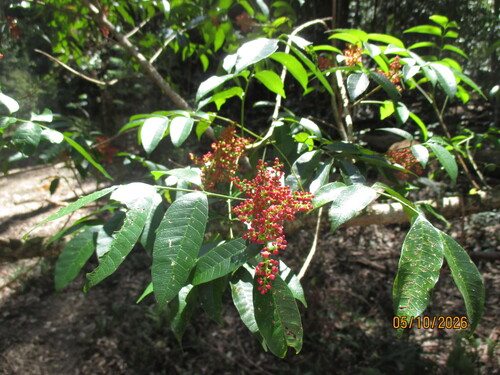
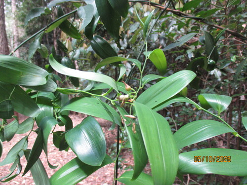
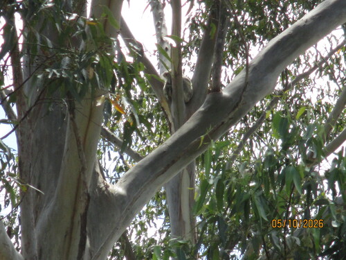
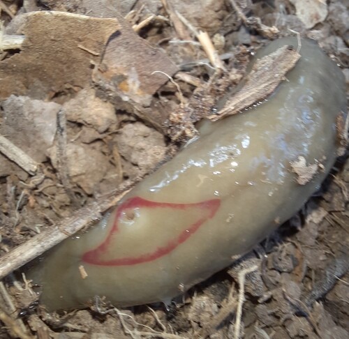
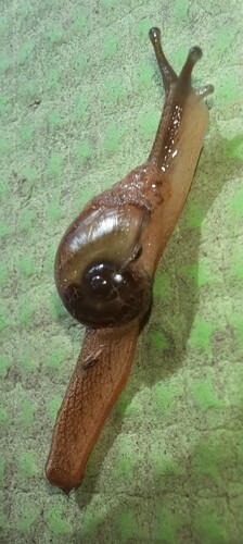
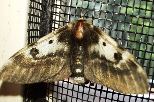
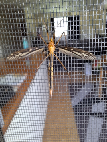
Research-grade observations from iNaturalist (within ~15 mi).
Events
Gallery
Official Identifiers
ABS — Australian Bureau of Statistics
- ASGS 2021
- SAL33112
- Population (Wikidata)
- 467
- Wikidata
- Q21897377
ASGS 2021 ID via Wikidata P10112
Sources
- • Wikipedia
- • Wikidata
- • USGS Earthquake Catalog (global feed)
- • GBIF (Global Biodiversity Information Facility)
- • iNaturalist
- • Open-Meteo / sunrise-sunset.org
- • Wikipedia Pageviews API
- • Open Library
- • ABS — Australian Bureau of Statistics — ASGS 2021 ID via Wikidata P10112