Browse / Australia / Queensland / Kandanga
Kandanga
Queenslandtown

Kandanga
Total population
234
Air quality index
Demographic figures from Australian Bureau of Statistics. Overview below cites Wikipedia and may reference a different year.
City facts
Overview
Kandanga is a rural town and locality in the Gympie Region, Queensland, Australia. In the 2021 census, the locality of Kandanga had a population of 659 people.
Read more on WikipediaHistory & geography
History
The first township in the area was called Bunya Creek. When the railway sideling opened to Kandanga in 1914, the town moved to its present site and adopted its current name. The name "Kandanga" may be derived from the local Kabi Aboriginal language, meaning a fork or sharp bend of the creek or it may refer to the cabbage tree. Kandanga Post Office opened by June 1914 (a receiving office had been open from 1895). Kandanga State School opened in September 1915. The Kandanga War Memorial was unveiled on 11 November 1920 by the Member of the Queensland Legislative Assembly for the Cooroora Harry Walker. In 2006, the Beattie state government announced plans to construct the Traveston Crossing Dam at Traveston Crossing on the upper Mary River. The proposed dam, designed to provide water to the growing Sunshine Coast, was to have flooded fertile farmland, including Kandanga. However, the dam did not proceed on environmental grounds, but not before much of the land required was bought up and the original owners moved on. A reconstruction plan was implemented following the decision to not build the dam, with farm land subdivided and offered to new owners who have introduced new crops to the Mary Valley. On 12 December 2015, the 101-year-old Kandanga Hotel burned down following a fire which started in the kitchen. Local people rallied to establish a temporary hotel next door until the hotel could be rebuilt. The hotel reopened on 12 July 2017.
Geography
The town is located on the Mary Valley Road (State Route 51) north of the state capital, Brisbane and south west of Gympie, on the banks of Kandanga Creek, a tributary of the Mary River. This river forms the eastern and north-eastern boundaries of the locality. Kandanga is one of a chain of towns in the Mary Valley also including Imbil, Amamoor and Dagun.
Excerpted from the corresponding Wikipedia article (CC BY-SA).
Geography
Coordinates & boundaries from the US Census TIGER/Line shapefiles.
Climate
Air quality
Current readings from Open-Meteo Air Quality API (Copernicus CAMS European reanalysis).
Walkability
Amenities nearby
Wildlife & biodiversity
Most-observed species
- Lewin's HoneyeaterMeliphaga lewinii (Swainson, 1837) · Aves2,158
- Torresian CrowCorvus orru Bonaparte, 1850 · Aves1,727
- Eastern WhipbirdPsophodes olivaceus (Latham, 1802) · Aves1,709
- Bar-shouldered DoveGeopelia humeralis (Temminck, 1821) · Aves1,572
- Rainbow LorikeetTrichoglossus haematodus (Linnaeus, 1771) · Aves1,497
- Laughing KookaburraDacelo novaeguineae (Hermann, 1783) · Aves1,496
- Australasian FigbirdSphecotheres vieilloti Vigors & Horsfield, 1827 · Aves1,469
- Golden WhistlerPachycephala pectoralis (Latham, 1802) · Aves1,370
Citizen-science & research observations from the Global Biodiversity Information Facility (GBIF).
Earthquake history
Most recent
- M 4.9 — 2025-08-1512 km ESE of Cherbourg, Australia
Events from the USGS Earthquake Catalog (global) (FDSN Event Web Service).
Photos
Sights & places nearby
Notable people from here
Nearby places in Queensland
Geography & sun
Elevation, sunrise/sunset and daylight from Open-Meteo. Solar climatology from NASA POWER.
Nearby airports
Public attention
Pageview totals from the Wikimedia Pageviews API.
Books about this place
Recent natural events nearby
Ground air-quality sensors
Recently spotted species
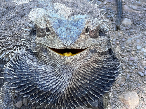
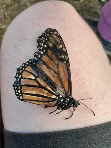
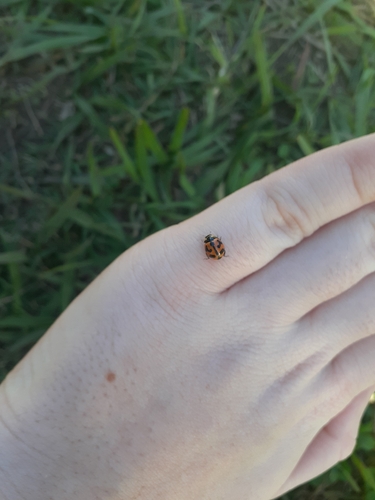
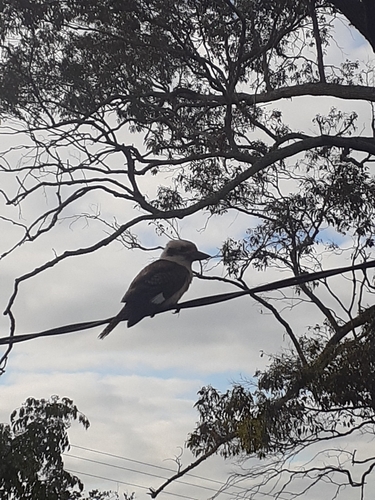
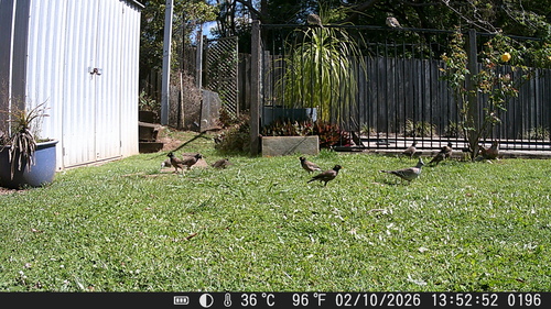
Research-grade observations from iNaturalist (within ~15 mi).
Events
Gallery
Sources
- • Wikipedia
- • Wikidata
- • Open-Meteo Air Quality (CAMS)
- • USGS Earthquake Catalog (global feed)
- • GBIF (Global Biodiversity Information Facility)
- • iNaturalist
- • Open-Meteo / sunrise-sunset.org
- • Wikipedia Pageviews API