Browse / Australia / Queensland / Pomona
Pomona
Queenslandtown

Pomona
Total population
1,735
Demographic figures from Australian Bureau of Statistics. Overview below cites Wikipedia and may reference a different year.
City facts
Overview
Pomona is a rural town and locality in the Shire of Noosa, Queensland, Australia. It is about 135 kilometres north of Brisbane. The town was called Pinbarren Siding from 1890-1900 as a subsidiary to Pinbarren. In the 2021 census, the locality of Pomona had a population of 2,931.
Read more on WikipediaHistory & geography
History
Pomona was first settled by Europeans in the late 1880s, but had been home to the Kabi Kabi/Gubbi Gubbi indigenous peoples for thousands of years before that. Early settlers collected timber from the area. Construction of the railway station gave farmers the ability to sell their goods over a wide reaching area. In 1925, Pomona district farmers sent 14,924 cases of bananas alone to Brisbane and southern markets. The Pomona station sat at the northern end of the Yurol State Forest with Yurol railway station being built in 1912 at the southern end of the Forest. The gradient within the forest was exceptionally steep and the Yurol station was the highest station in Queensland above sea level at the time. The first post office was run out of the main office of the railway station with Mrs. J. Kelleher conducting the duties from 1897. The first Pomona Fire and Rescue Station was commissioned in 1956 next to the Subway which often meant it was flooded during moderate to major storms. in 2015 it was replaced with a new station next to the Ambulance Station, this features a quad bay shed, indoor and out door training facilities. On 17 July 1917, the Pomona branch of the Queensland ambulance service transport brigade (QATB) was established with the opening of Ambulance House in Ambulance Street, where the local Superintendent operated from. The same year this was joined by the construction of an ambulance shed within the grounds of the Pomona railway station. In 1921, the for ease of access, the shed was moved next to Ambulance House where it stayed in operation until 1951. In 1951 with the completion of the Pomona Ambulance Centre, both the superintendents residence and sheds operations were moved into town. The new centre was built next door to the ES&A building. On 17…
Geography
The locality of Pomona is bounded to the south by the Bruce Highway and along most of its northern boundary by Six Mile Creek. The township of Pomona is surrounded by rural residential acreage properties and small farms. A significant portion of the locality is within Yurol State Forest, Mount Cooroora is in the south-west of the locality (), rising to . It is a high intrusive volcanic plug within the Tuchekoi National Park. It is approximately south-west of the town. Pomona is within the Noosa Biosphere recognised by the United Nations Economic, Scientific and Cultural Organization (UNESCO) in 2007 as a World Biosphere Reserve.
Excerpted from the corresponding Wikipedia article (CC BY-SA).
Geography
Coordinates & boundaries from the US Census TIGER/Line shapefiles.
Climate
Air quality
Walkability
Amenities nearby
Wildlife & biodiversity
Earthquake history
Photos
Sights & places nearby
Notable people from here
People born within ~10 km, from Wikidata (CC0). Click any name for their Wikipedia article.
Nearby places in Queensland
Geography & sun
Elevation, sunrise/sunset and daylight from Open-Meteo. Solar climatology from NASA POWER.
Nearby airports
Public attention
Pageview totals from the Wikimedia Pageviews API.
Books about Pomona

Search results from Open Library.
Recent natural events nearby
Ground air-quality sensors
Recently spotted species
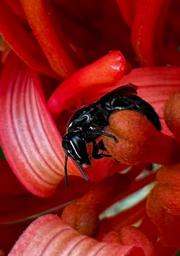
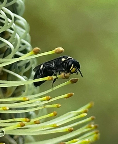
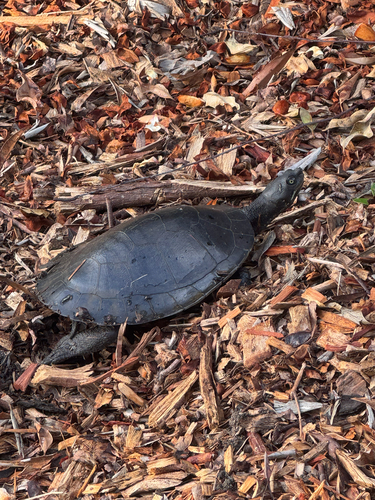
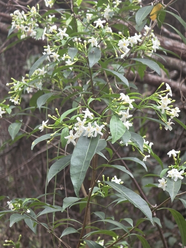
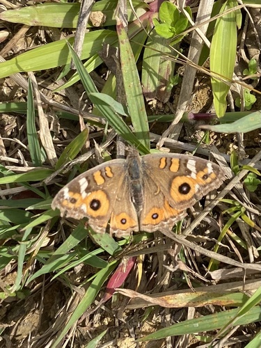
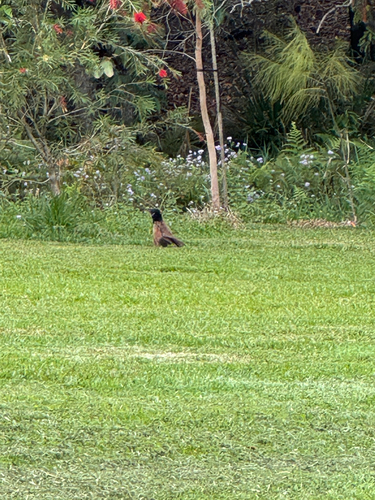
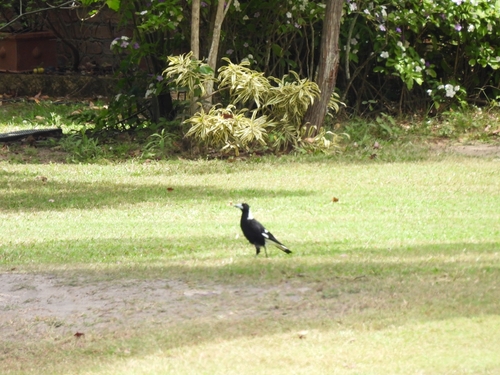
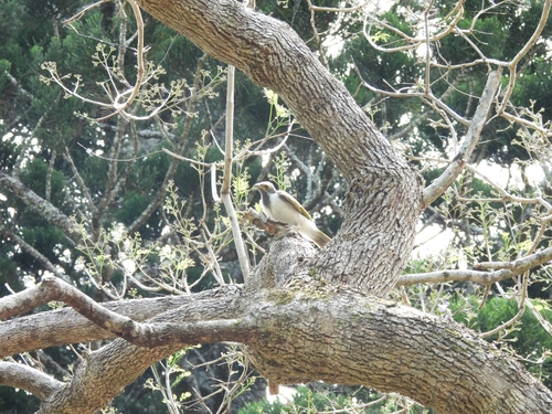
Research-grade observations from iNaturalist (within ~15 mi).
Events
Gallery
Sources
- • Wikipedia
- • Wikidata
- • iNaturalist
- • Open-Meteo / sunrise-sunset.org
- • Wikipedia Pageviews API
- • Open Library