Browse / Australia / Queensland / Ingham
Ingham
Queenslandtown

Ingham
Total population
4,334
Air quality index
Demographic figures from Australian Bureau of Statistics. Overview below cites Wikipedia and may reference a different year.
City facts
Facts from Wikidata (CC0).
Overview
Ingham is a rural town and locality in the Shire of Hinchinbrook, Queensland, Australia. It is named after William Bairstow Ingham and is the administrative centre for the Shire of Hinchinbrook.
Read more on WikipediaHistory & geography
History
Prior to European settlement, the Ingham area was inhabited by the Warakamai People. Warrgamay (also known as Waragamai, Wargamay, Wargamaygan, Biyay, and Warakamai) is an Australian Aboriginal language in North Queensland. The language region includes the Herbert River area, Ingham, Hawkins Creek, Long Pocket, Herbert Vale, Niagara Vale, Yamanic Creek, Herbert Gorge, Cardwell, Hinchinbrook Island and the adjacent mainland. George Elphinstone Dalrymple led the first British expedition to the area during his 1864 journey from Cardwell to the Valley of Lagoons Station. Dalrymple named the Herbert River on this expedition and described both the extensive grassy plains that flanked the river and the "tribe of wild blacks" who lived upon them. Co-owner of Valley of Lagoons, Walter Jervoise Scott, soon established the Herbert Vale cattle station on these plains which was managed by Henry Worsley Stone and Duncan McAuslan. In 1868, the region was opened to further uptake of land by colonists, with Daniel Cudmore and Maurice Geoffrey O'Connell being the most prominent selectors. This taking of land led to conflict between the British colonists and the resident Indigenous population of the region. Cattle continued to be speared and in 1872 a Native Police detachment captured a group of Aborigines at Daniel Cudmore's property. They were made to gather firewood and were then shot, their corpses being burnt on the gathered wood. James Cassady, a colonist who attempted to protect Aborigines in the region, described how Native Police officers during this period would order the shootings of peaceful Aboriginal people. In once instance, two young boys who survived these shootings were taken and given as presents to other colonists. The Native Police forces in the Ingham region were…
Geography
Ingham is approximately north of Townsville and north of the state capital, Brisbane. The town is positioned about inland within the Herbert River floodplain where Palm Creek drains the low-lying lands. It is surrounded by sugar cane farms which are serviced by a number of private railways. The North Coast railway line passes through the town, which is served by the Ingham railway station. The Bruce Highway also passes through the town. Tokalon is a neighbourhood in the south-east of the locality (). It takes its name from the Tokalon railway station, which was named by the Queensland Railways Department on 24 December 1924, from the name of a local selection. Tokalan is an Aboriginal word meaning beautiful land.
Excerpted from the corresponding Wikipedia article (CC BY-SA).
Geography
Coordinates & boundaries from the US Census TIGER/Line shapefiles.
Climate
Air quality
Current readings from Open-Meteo Air Quality API (Copernicus CAMS European reanalysis).
Walkability
Amenities nearby
Wildlife & biodiversity
Most-observed species
- Willie-wagtailRhipidura leucophrys (Latham, 1802) · Aves1,821
- Masked LapwingVanellus miles (Boddaert, 1783) · Aves1,583
- Peaceful DoveGeopelia placida Gould, 1844 · Aves1,436
- Comb-crested JacanaIrediparra gallinacea (Temminck, 1828) · Aves1,311
- Crimson FinchNeochmia phaeton (Hombron & Jacquinot, 1841) · Aves1,224
- Brown HoneyeaterLichmera indistincta (Vigors & Horsfield, 1827) · Aves1,166
- Australasian DarterAnhinga novaehollandiae (Gould, 1847) · Aves993
- Bar-shouldered DoveGeopelia humeralis (Temminck, 1821) · Aves991
Citizen-science & research observations from the Global Biodiversity Information Facility (GBIF).
Earthquake history
Events from the USGS Earthquake Catalog (global) (FDSN Event Web Service).
Photos
Sights & places nearby
Notable people from here
Nearby places in Queensland
- Trebonne5.5 mi away · pop. 270
- Halifax9.4 mi away · pop. 390
- Mutarnee22.6 mi away
- Balgal Beach30.2 mi away
- Tully Heads44.3 mi away · pop. 477
- Mission Beach54 mi away · pop. 1,014
- Bingil Bay56.6 mi away · pop. 438
- Mena Creek69.9 mi away · pop. 210
- Mourilyan74 mi away · pop. 391
- Alligator Creek74.3 mi away
- East Palmerston75 mi away · pop. 220
- Berner Creek76.2 mi away · pop. 16
Geography & sun
Elevation, sunrise/sunset and daylight from Open-Meteo. Solar climatology from NASA POWER.
Nearby airports
Public attention
Pageview totals from the Wikimedia Pageviews API.
Books about Ingham
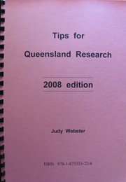
Search results from Open Library.
Recent natural events nearby
Ground air-quality sensors
Recently spotted species
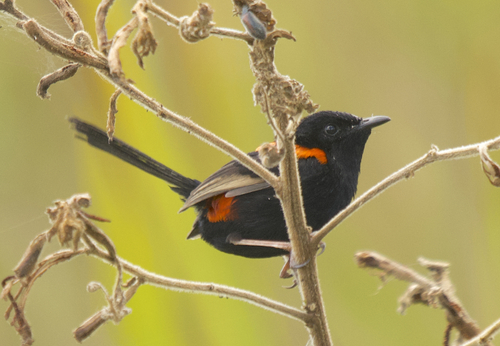
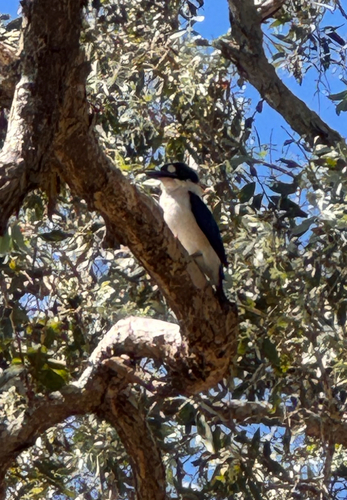
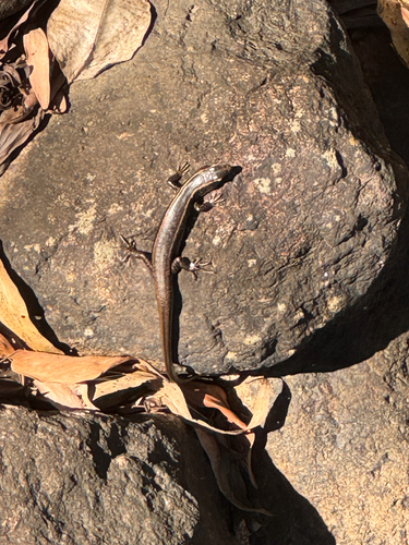
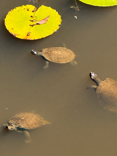
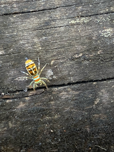
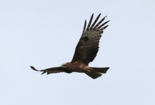
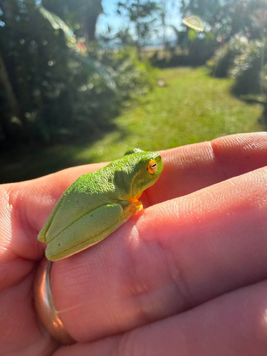
Research-grade observations from iNaturalist (within ~15 mi).
Events
Gallery
Geotagged photos within ~6 miles of Ingham, from Wikimedia Commons contributors.
 0.1 mi
.jpg) 0.2 mi
0.2 mi.jpg) 0.2 mi
0.2 mi 0.4 mi
.jpg) 0.4 mi
0.4 mi.jpg) 0.4 mi
0.4 mi.jpg) 0.4 mi
0.4 mi.jpg) 0.4 mi
0.4 mi.jpg) 0.4 mi
0.4 mi.jpg) 0.4 mi
0.4 mi 0.4 mi
 0.4 mi
 0.5 mi
 0.6 mi
 0.7 mi
 0.8 mi
.jpg) 0.8 mi
0.8 mi.jpg) 0.8 mi
0.8 mi.jpg) 0.8 mi
0.8 mi.jpg) 0.8 mi
0.8 mi.jpg) 0.8 mi
0.8 mi.jpg) 0.8 mi
0.8 mi.jpg) 0.8 mi
0.8 mi.jpg) 0.8 mi
0.8 miPhotos via Wikimedia Commons — see each image page for license & attribution.
Sources
- • Wikipedia
- • Wikimedia Commons
- • Wikidata
- • Open-Meteo Air Quality (CAMS)
- • USGS Earthquake Catalog (global feed)
- • GBIF (Global Biodiversity Information Facility)
- • iNaturalist
- • Open-Meteo / sunrise-sunset.org
- • Wikipedia Pageviews API
- • Open Library