Browse / Australia / New South Wales / Kangaroo Valley
Kangaroo Valley
New South Walestown

Kangaroo Valley
Total population
316
Founded
1817
Demographic figures from Australian Bureau of Statistics. Overview below cites Wikipedia and may reference a different year.
City facts
Facts from Wikidata (CC0).
Overview
Kangaroo Valley is a river valley along the Kangaroo River in the Shoalhaven region of New South Wales, Australia, located west of the seaside in the City of Shoalhaven. It is also the name of the small suburb within it, formerly known as Osborne, with a population of 879 in the 2016 census. The township is accessed by the Moss Vale Road, which links Moss Vale to the Princes Highway at Bomaderry north of Nowra via the B73 route.
Read more on WikipediaHistory & geography
History
The first inhabitants of Kangaroo Valley were the Australian Aboriginal Wodi-Wodi people, who had reportedly occupied the land for around 20,000 years before the European settlement of Australia in 1788. An 1826 census indicated 79 Aborigines lived in the valley in five separate encampments. The first recorded European sighting of the valley was in April 1812, when surveyor-explorer George Evans passed through the area as he travelled north from his exploration of Jervis Bay. Evans reportedly claimed that the valley offered a view that "no painter could beautify." The area was first settled in 1817 when Charles Throsby, an explorer and Captain Richard Brooks, a cattleman, opened the area for colonial settlement. The felling and exporting of Australian red cedar (Toona ciliata) trees quickly became the main industry in Kangaroo Valley. By the mid-1840s, a number of dairy farmers made the region their home, specialising in the production of butter as other dairy products such as milk could not be exported as they would often curdle long before they had completed the journey out of Kangaroo Valley to neighbouring settlements. By the 1870s, activity had begun to concentrate in the area that is now the village, as other centres in Kangaroo Valley, such as Trendally, died with the dairy industry in the region. Both the Church of the Good Shepherd (built in 1870–72) and rectory (built in 1879 by John Tanner) were designed by John Horbury Hunt, and are listed on the (now defunct) Register of the National Estate. The local public school was built in 1884 of local sandstone. Further additions constructed of weatherboard and brick were made later. The local courthouse was built c.1910, also of local sandstone. The design is asymmetrical and features a sloping buttress and…
Geography
Kangaroo Valley is a gently sloping wide valley surrounded on its sides by high mountains of the NSW Southern Highlands, approximately two hours' drive south-west of Sydney and about two hours north of Canberra. Flying Fox Pass looks over the valley. A few kilometres further north is the Fitzroy Falls.
Excerpted from the corresponding Wikipedia article (CC BY-SA).
Geography
Coordinates & boundaries from the US Census TIGER/Line shapefiles.
Climate
Air quality
Walkability
Amenities nearby
Wildlife & biodiversity
Most-observed species
- Australian MagpieGymnorhina tibicen (Latham, 1802) · Aves5,643
- Australian RavenCorvus coronoides Vigors & Horsfield, 1827 · Aves5,303
- Superb FairywrenMalurus cyaneus (Ellis, 1782) · Aves4,915
- Gray FantailRhipidura albiscapa Gould, 1840 · Aves4,819
- long-nosed potorooPotorous tridactylus (Kerr, 1792) · Mammalia4,637
- Crimson RosellaPlatycercus elegans (Gmelin, 1788) · Aves4,479
- Eastern SpinebillAcanthorhynchus tenuirostris (Latham, 1801) · Aves4,295
- Magpie-larkGrallina cyanoleuca (Latham, 1802) · Aves4,091
Citizen-science & research observations from the Global Biodiversity Information Facility (GBIF).
Earthquake history
Most recent
- M 3.6 — 2025-05-283 km WNW of Cobbitty, Australia
- M 3.5 — 2024-03-0814 km SSW of Woodford, Australia
- M 3 — 2007-08-2224 km W of Oakdale, Australia
- M 3.2 — 2007-08-1810 km NW of Mittagong, Australia
- M 2.6 — 2007-08-1811 km NW of Mittagong, Australia
- M 3.1 — 2007-04-113 km SE of Stanwell Park, Australia
Events from the USGS Earthquake Catalog (global) (FDSN Event Web Service).
Photos
Sights & places nearby
Notable people from here
People born within ~10 km, from Wikidata (CC0). Click any name for their Wikipedia article.
Nearby places in New South Wales
Geography & sun
Nearby airports
Public attention
Books about this place
Recent natural events nearby
Ground air-quality sensors
Recently spotted species
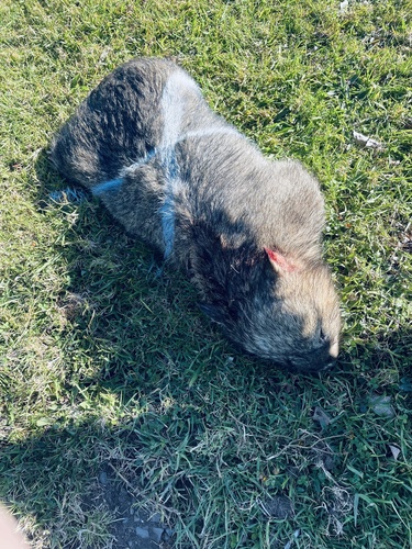
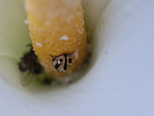
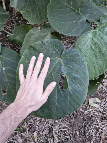
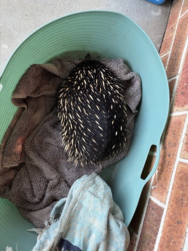
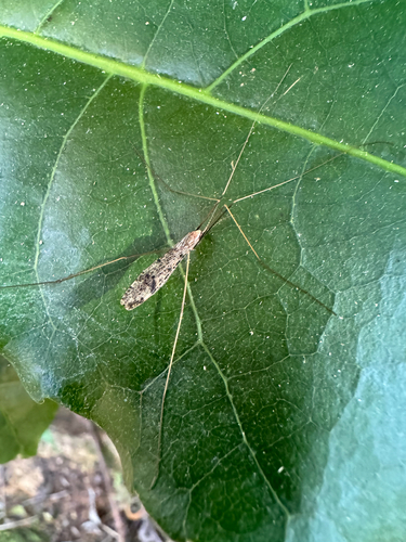
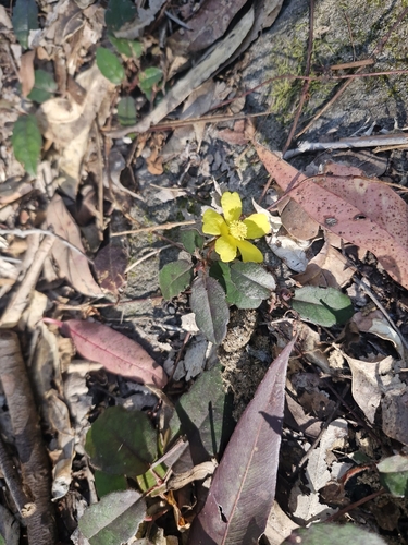
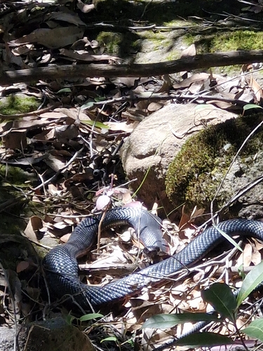
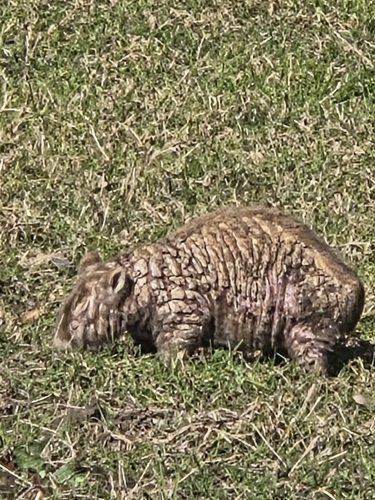
Research-grade observations from iNaturalist (within ~15 mi).
Events
Gallery
Sources
- • Wikipedia
- • Wikidata
- • USGS Earthquake Catalog (global feed)
- • GBIF (Global Biodiversity Information Facility)
- • iNaturalist