Browse / Australia / Victoria / Kerang
Kerang
Victoriatown

Kerang
Total population
3,696
Demographic figures from Australian Bureau of Statistics. Overview below cites Wikipedia and may reference a different year.
City facts
Facts from Wikidata (CC0).
Overview
Kerang is a town on the Loddon River in north-central Victoria, Australia. It is the commercial centre to an irrigation district based on livestock, horticulture, lucerne and grain. It is located 279 kilometres (173 mi) north-west of Melbourne on the Murray Valley Highway a few kilometres north of its intersection with the Loddon Valley Highway, elevation 78 metres (256 ft). At the 2021 census, Kerang had a population of 3,960. Kerang is believed to be an Aboriginal word for Cockatoo. It is home to Australia's largest solar and battery farm, which was opened in June 2019. The 50-megawatt battery system is located outside of Kerang and stores 100 per cent renewable energy. The 2,000 solar panels have become a tourist attraction and are drawing many businesses to the town.
Read more on WikipediaHistory & geography
History
The Wemba-Wemba and Barapa Barapa Aboriginal people are the original owners and the area's first occupants. Thomas Mitchell was the first European to visit the area, in 1836. Squatters began to settle in the area in 1845 and in 1848 Richard Beyes opened a public house at a river crossing near the future townsite. The gold rush of 1850 in Australia attracted the miner's sons, Peter and Anders Pettersson from Herrnäs to Australia in 1853. They emigrated with 4 other miners' sons, among them Lars Fredrik Pettersson who later took the name Westblad. A couple of hired hands also went with this first group. Lars Fredrik Westblad returned to Sweden to visit his home in Bjurtjärn socken. When he returned to Australia in 1857, two brothers went with him and later two more brothers joined them along with a cousin and a nephew. Lars Fredrik Westblad became a justice of the peace and the owner of an inn in Mia Mia which became a gathering spot for the Swedes. With three of his brothers and four sons he operated a farm of more than 40,000 acres at Kerang, northeast of Melbourne. He did well in the cattle business. The Westblad family in Australia reached considerable numbers and in 1976 about 300 descendants of Lars Fredrik gathered for a reunion in Kerang. This was followed by a saddlery and a church. In 1857 Woodford Patchell built a bridge upriver from the settlement which drew traffic from the earlier settlement. He built a store, house and hotel that became the centre of what was to become Kerang. Patchell was the first farmer in the state to use irrigation and experimented with oats, barley, maize, millet, tobacco, beet, cotton and sugarcane. The Post Office opened on 29 July 1858; the current Kerang Post Office building dates from 1886 and is heritage-listed. An earlier…
Excerpted from the corresponding Wikipedia article (CC BY-SA).
Geography
Coordinates & boundaries from the US Census TIGER/Line shapefiles.
Climate
Air quality
Walkability
Amenities nearby
Wildlife & biodiversity
Most-observed species
- Australian MagpieGymnorhina tibicen (Latham, 1802) · Aves1,203
- Superb FairywrenMalurus cyaneus (Ellis, 1782) · Aves1,202
- Whistling KiteHaliastur sphenurus (Vieillot, 1818) · Aves1,132
- Red-rumped ParrotPsephotus haematonotus (Gould, 1838) · Aves1,044
- Welcome SwallowHirundo neoxena Gould, 1842 · Aves1,032
- Magpie-larkGrallina cyanoleuca (Latham, 1802) · Aves1,003
- Crested PigeonOcyphaps lophotes (Temminck, 1822) · Aves1,002
- Willie-wagtailRhipidura leucophrys (Latham, 1802) · Aves969
Citizen-science & research observations from the Global Biodiversity Information Facility (GBIF).
Earthquake history
Most recent
- M 3 — 2018-07-2318 km S of Cohuna, Australia
- M 2.7 — 2007-12-0938 km SE of Charlton, Australia
- M 3.6 — 2003-12-2940 km WNW of Deniliquin, Australia
- M 3.1 — 2003-03-10Victoria, Australia
- M 2.9 — 2002-04-1945 km N of Charlton, Australia
- M 3.3 — 2002-01-225 km WNW of Rochester, Australia
Events from the USGS Earthquake Catalog (global) (FDSN Event Web Service).
Photos
Sights & places nearby
Notable people from here


People born within ~10 km, from Wikidata (CC0). Click any name for their Wikipedia article.
Nearby places in Victoria
- Murrabit14.3 mi away · pop. 84
- Mystic Park16.5 mi away
- Quambatook23.8 mi away · pop. 185
- Leitchville24.3 mi away · pop. 250
- Pyramid Hill24.7 mi away · pop. 475
- Lake Boga25 mi away · pop. 762
- Boort28.8 mi away · pop. 808
- Gunbower29.4 mi away · pop. 303
- Woorinen South40.4 mi away
- Wychitella41.3 mi away
- Wycheproof45.5 mi away · pop. 562
- Wharparilla45.9 mi away
Geography & sun
Elevation, sunrise/sunset and daylight from Open-Meteo. Solar climatology from NASA POWER.
Nearby airports
Public attention
Pageview totals from the Wikimedia Pageviews API.
Books about Kerang
Search results from Open Library.
Recent natural events nearby
Ground air-quality sensors
Recently spotted species
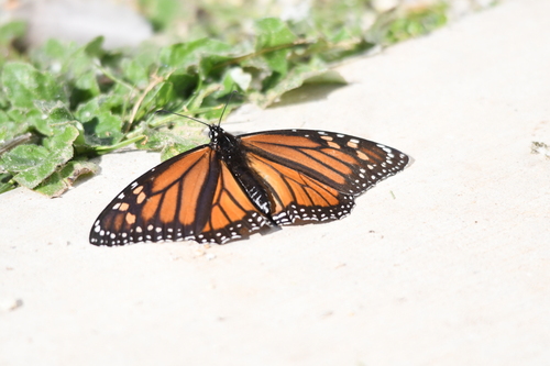
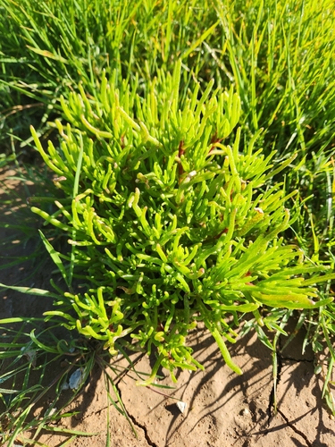
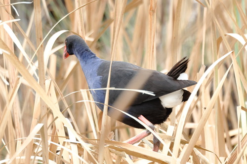
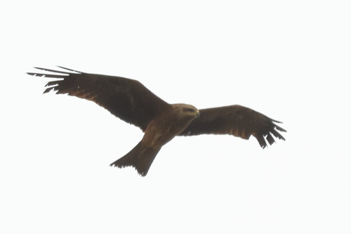
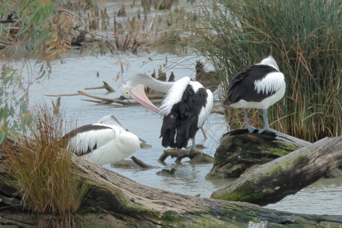
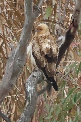
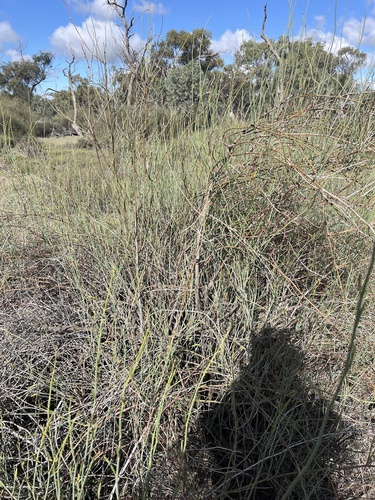
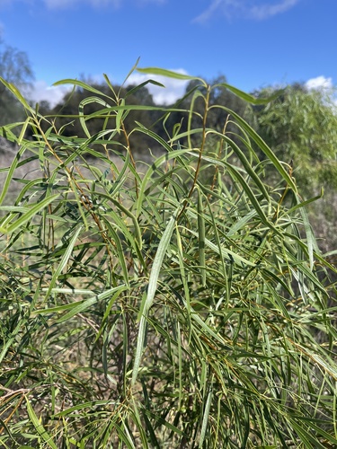
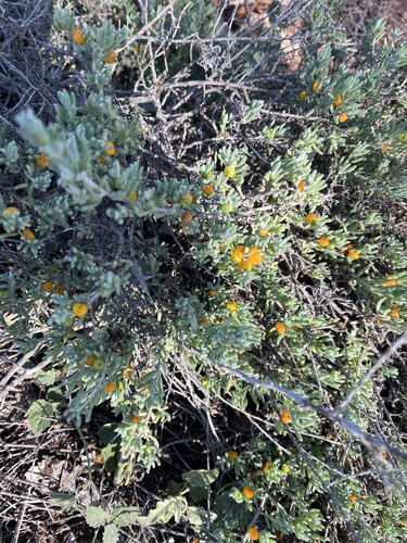
Research-grade observations from iNaturalist (within ~15 mi).
Events
Gallery
Sources
- • Wikipedia
- • Wikidata
- • USGS Earthquake Catalog (global feed)
- • GBIF (Global Biodiversity Information Facility)
- • iNaturalist
- • Open-Meteo / sunrise-sunset.org
- • Wikipedia Pageviews API
- • Open Library