Browse / Australia / Queensland / Kuranda
Kuranda
Queenslandtown

Kuranda
Total population
2,456
Demographic figures from Australian Bureau of Statistics. Overview below cites Wikipedia and may reference a different year.
City facts
Overview
Kuranda is a rural town and locality on the Atherton Tableland in the Shire of Mareeba, Queensland, Australia. It is 25 kilometres (16 mi) from Cairns, via the Kuranda Range road. It is surrounded by tropical rainforest and adjacent to the Wet Tropics of Queensland World Heritage listed Barron Gorge National Park. In the 2021 census, the locality of Kuranda had a population of 3,273 people.
History & geography
Geography
Coordinates & boundaries from the US Census TIGER/Line shapefiles.
Climate
Air quality
Walkability
Amenities nearby
Wildlife & biodiversity
Earthquake history
Photos
Sights & places nearby
Notable people from here
Nearby places in Queensland
- Yarrabah16.5 mi away
- Gordonvale21.2 mi away · pop. 6,035
- Green Island22.8 mi away
- Julatten24.3 mi away
- Tolga29.6 mi away · pop. 1,277
- Tinaburra30 mi away
- Mossman Gorge Aboriginal Community30.7 mi away
- North Mossman31.4 mi away
- Eachamvale32.5 mi away
- Rocky Point33.2 mi away
- Weerimba33.3 mi away
- Carrington35.2 mi away · pop. 191
Geography & sun
Elevation, sunrise/sunset and daylight from Open-Meteo. Solar climatology from NASA POWER.
Nearby airports
Public attention
Pageview totals from the Wikimedia Pageviews API.
Books about Kuranda
Search results from Open Library.
Recent natural events nearby
Ground air-quality sensors
Recently spotted species
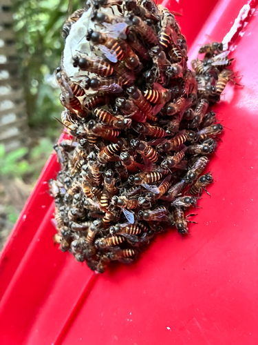
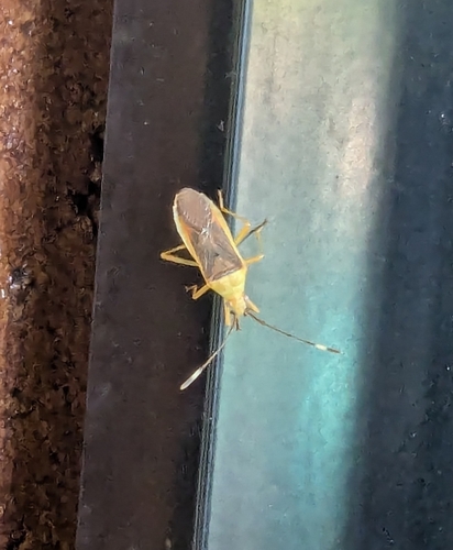
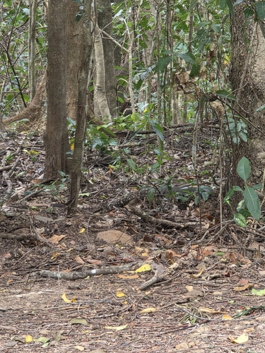
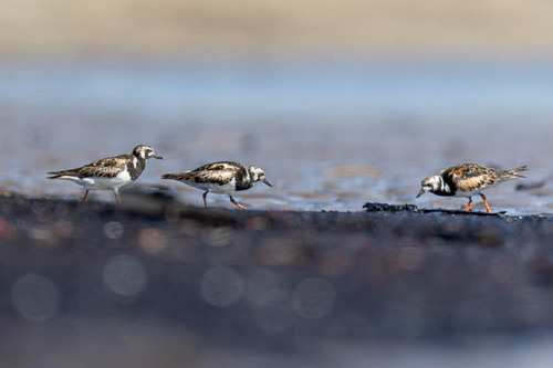
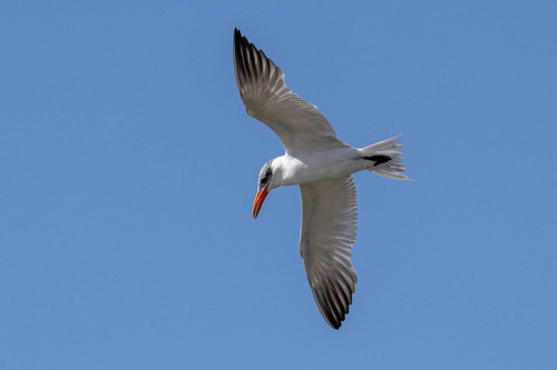
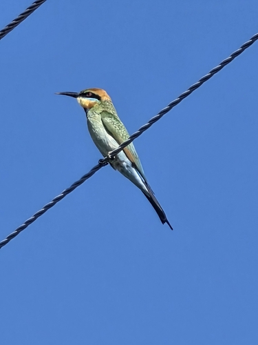
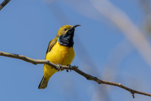
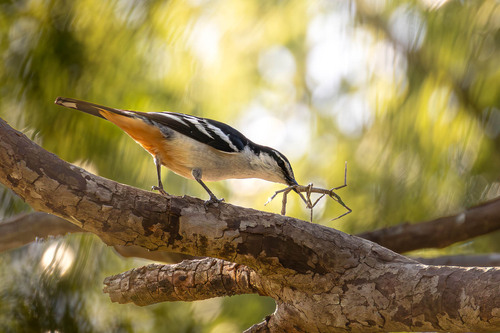
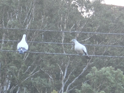
Research-grade observations from iNaturalist (within ~15 mi).
Events
Gallery
Sources
- • Wikipedia
- • iNaturalist
- • Open-Meteo / sunrise-sunset.org
- • Wikipedia Pageviews API
- • Open Library