Browse / Australia / Queensland / Julatten
Julatten
Queenslandvillage

Julatten
Demographic figures from Australian Bureau of Statistics. Overview below cites Wikipedia and may reference a different year.
City facts
Overview
Julatten is a rural town and locality in the Shire of Mareeba, Queensland, Australia. In the 2021 census, the locality of Julatten had a population of 1,020 people.
Read more on WikipediaHistory & geography
History
The area, which was settled in the early 1920s and originally known as Bushy Creek, takes its name from the railway station, which in turn was named by the Queensland Railways Department and is an Aboriginal word meaning small creek. The railway was opened to Rumula on 5 December 1926. In 1926, Charles May of Mossman proposed that a road should be built across the Great Dividing Range to connect Julatten with Mossman. After difficulties in choosing a route, The Mossman - Mount Molloy Road was officially opened on 2 January 1949 by the Queensland Minister for Agriculture Harold Collins. It was also named the Rex Range Road in honour of R.D. Rex, the Chairman of Douglas Shire who persisted in his efforts to see the road built. In January 2020, a memorial to Charles May was established on a lookout. Euluma State School opened circa 1935 and closed circa 1951.
Geography
Julatten is on the eastern edge of the Atherton Tableland (about above sea level). The steep north-eastern part of the locality consists of protected areas being the Mount Lewis National Park and the Mowbray National Park. The Mossman - Mount Molloy Road (also known as the Rex Range Road) traverses the locality from the north-east on the coastal plain up to the south-west passing through the area of Julatten on the tableland. Julatten produces sugar cane and beef cattle and has barramundi farms.
Excerpted from the corresponding Wikipedia article (CC BY-SA).
Geography
Coordinates & boundaries from the US Census TIGER/Line shapefiles.
Climate
Air quality
Walkability
Amenities nearby
Wildlife & biodiversity
Most-observed species
- Bar-shouldered DoveGeopelia humeralis (Temminck, 1821) · Aves5,362
- Rainbow LorikeetTrichoglossus haematodus (Linnaeus, 1771) · Aves4,809
- Yellow-spotted HoneyeaterMeliphaga notata (Gould, 1867) · Aves4,000
- Australasian FigbirdSphecotheres vieilloti Vigors & Horsfield, 1827 · Aves3,885
- Rufous ShrikethrushColluricincla rufogaster Gould, 1845 · Aves3,519
- Sulphur-crested CockatooCacatua galerita (Latham, 1790) · Aves3,508
- Spectacled MonarchSymposiachrus trivirgatus (Temminck, 1826) · Aves3,458
- Peaceful DoveGeopelia placida Gould, 1844 · Aves3,429
Citizen-science & research observations from the Global Biodiversity Information Facility (GBIF).
Earthquake history
Events from the USGS Earthquake Catalog (global) (FDSN Event Web Service).
Photos
Sights & places nearby
Notable people from here
People born within ~10 km, from Wikidata (CC0). Click any name for their Wikipedia article.
Nearby places in Queensland
- Mount Molloy4.9 mi away · pop. 266
- Mossman Gorge Aboriginal Community9 mi away
- North Mossman11.6 mi away
- Mount Carbine14.7 mi away
- Wonga Beach18.4 mi away · pop. 860
- Wujal Wujal45.6 mi away · pop. 276
- Yungaburra48.6 mi away · pop. 1,052
- Herberton53.8 mi away · pop. 984
- North Johnstone54.5 mi away
- Tarzali59.2 mi away · pop. 431
- Rossville59.3 mi away
- Lakeland60.7 mi away
Geography & sun
Elevation, sunrise/sunset and daylight from Open-Meteo. Solar climatology from NASA POWER.
Nearby airports
Public attention
Pageview totals from the Wikimedia Pageviews API.
Books about Julatten
Search results from Open Library.
Recent natural events nearby
Ground air-quality sensors
Recently spotted species
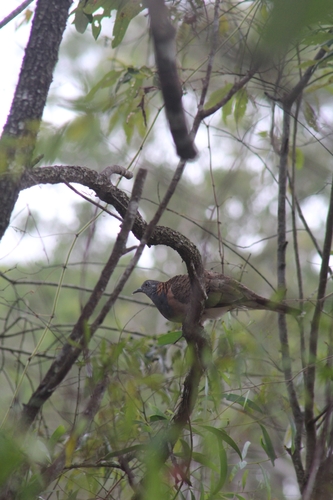
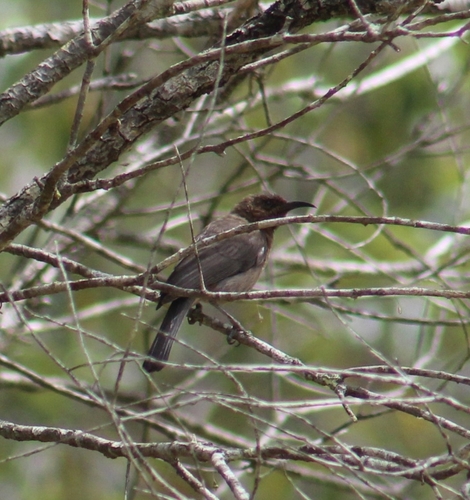
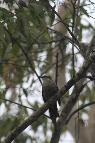
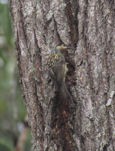
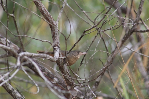
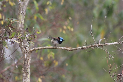
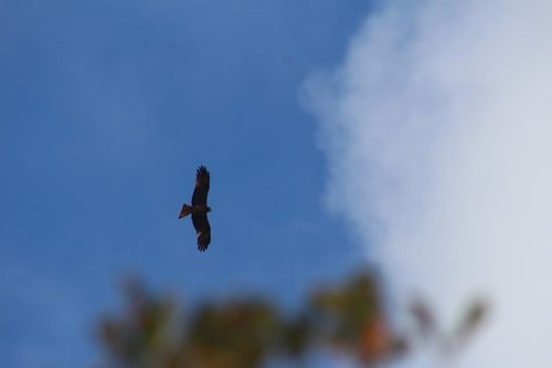
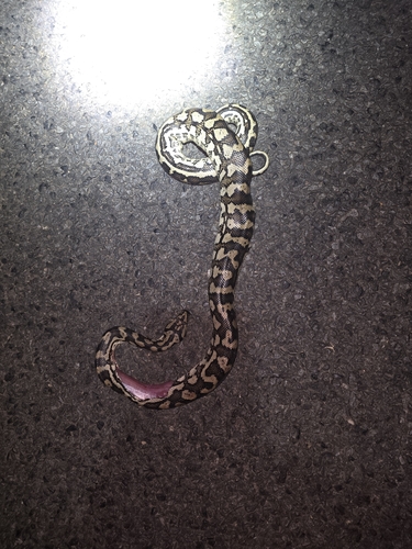
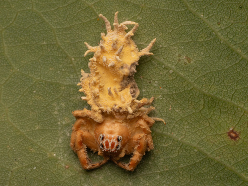
Research-grade observations from iNaturalist (within ~15 mi).
Events
Gallery
Official Identifiers
ABS — Australian Bureau of Statistics
- ASGS 2021
- SAL31459
- Population (Wikidata)
- 1,020
- Wikidata
- Q31054291
ASGS 2021 ID via Wikidata P10112
Sources
- • Wikipedia
- • Wikidata
- • USGS Earthquake Catalog (global feed)
- • GBIF (Global Biodiversity Information Facility)
- • iNaturalist
- • Open-Meteo / sunrise-sunset.org
- • Wikipedia Pageviews API
- • Open Library
- • ABS — Australian Bureau of Statistics — ASGS 2021 ID via Wikidata P10112