Browse / Australia / Queensland / Mount Carbine
Mount Carbine
Queenslandhamlet

Mount Carbine
Demographic figures from Australian Bureau of Statistics. Overview below cites Wikipedia and may reference a different year.
City facts
Overview
Mount Carbine is a rural town and locality in the Shire of Mareeba, Queensland, Australia. In the 2021 census, the locality of Mount Carbine had a population of 94 people.
Read more on WikipediaHistory & geography
History
The town of Mount Carbine is said to be named after the horse Carbine that won the 1890 Melbourne Cup. The town had been first settled around that time by those who had come to mine the wolfram (tungsten), discovered here that same year. These early miners, perhaps believing that their new settlement would become well known for its wealth, apparently decided that the famous Cup winner’s name was the most suitable. In its early years, the town was entirely reliant upon the area’s wolfram deposits for its viability. The main period of growth in mining was from 1907, with John Moffat’s Irvinebank Company undertaking the major development of the mines. In this early period, Mount Carbine’s residents were predominantly those who were associated in some way with the wolfram mines, as well as their families. Mount Carbine Provisional School opened in 1908, becoming Mount Carbine State School on 1 January 1909. It closed due to low student numbers in 1927. It re-opened in 1939, closing permanently in 1957. It was on the western side of Pump Road (approx ). Brooklyn Sanctuary was purchased in 2004. Between 2008 and 2013, Mount Carbine was within the Tablelands Region.
Geography
The locality is bounded to the east by the ridge of the Great Dividing Range. The Mitchell River enters the locality from the west (Hurricane) where it forms part of the western boundary of the locality, before flowing east and forming part of the southern boundary. It then exits to the south (Southedge). The Mcleod River forms part of the western boundary on its confluence with the Mitchell River. The north and east of the locality are within a number of protected areas (from north to south): * Mount Lewis National Park * Mount Spurgeon National Park A further comprising most of the south and west of the locality is part of the Brooklyn Sanctuary, a nature reserve owned and operated by the not-for-profit Australian Wildlife Conservancy. The sanctuary includes some former mine sites. Almost all of the locality is used for nature conservation. The exceptions include what remains of the town of Mount Carbine in the south of the locality and some farms around Butcher Creek and Mary Creek, mostly engaged in grazing on native vegetation. * Lighthouse Mountain (Cudgee Cudgee) () * Little Alto () * Mount Alto () * Mount Armit () * Mount Fraser () * Mount Misery () * Mount Spurgeon () * Ords Hill () * Roots Mount ()
Excerpted from the corresponding Wikipedia article (CC BY-SA).
Geography
Coordinates & boundaries from the US Census TIGER/Line shapefiles.
Climate
Air quality
Walkability
Amenities nearby
Wildlife & biodiversity
Most-observed species
- Gray FantailRhipidura albiscapa Gould, 1840 · Aves1,135
- Rainbow LorikeetTrichoglossus haematodus (Linnaeus, 1771) · Aves1,076
- Lewin's HoneyeaterMeliphaga lewinii (Swainson, 1837) · Aves949
- Bridled HoneyeaterBolemoreus frenatus (E.P.Ramsay, 1874) · Aves922
- Brown Cuckoo-DoveMacropygia phasianella (Temminck, 1821) · Aves881
- Gray-headed RobinHeteromyias cinereifrons (E.P.Ramsay, 1876) · Aves871
- Bar-shouldered DoveGeopelia humeralis (Temminck, 1821) · Aves795
- Yellow-throated ScrubwrenSericornis citreogularis Gould, 1838 · Aves786
Citizen-science & research observations from the Global Biodiversity Information Facility (GBIF).
Earthquake history
Events from the USGS Earthquake Catalog (global) (FDSN Event Web Service).
Photos
Sights & places nearby
Notable people from here
Nearby places in Queensland
- Mossman Gorge Aboriginal Community14.1 mi away
- Julatten14.7 mi away
- North Mossman16.9 mi away
- Rocky Point20.2 mi away
- Cow Bay29.3 mi away
- Lakeland49.7 mi away
- Tolga53.1 mi away · pop. 1,277
- Yarrabah55 mi away
- Green Island57.6 mi away
- Gordonvale57.7 mi away · pop. 6,035
- Carrington57.8 mi away · pop. 191
- Tinaburra58.1 mi away
Geography & sun
Elevation, sunrise/sunset and daylight from Open-Meteo. Solar climatology from NASA POWER.
Nearby airports
Public attention
Pageview totals from the Wikimedia Pageviews API.
Books about Mount Carbine
Search results from Open Library.
Recent natural events nearby
Ground air-quality sensors
Recently spotted species
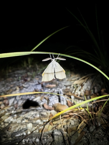
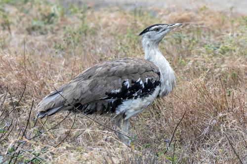
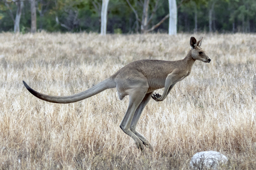
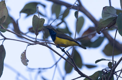
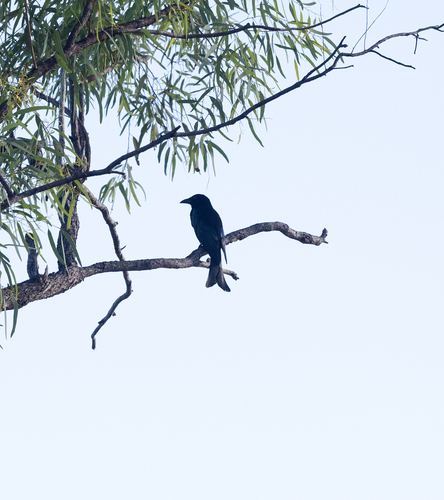
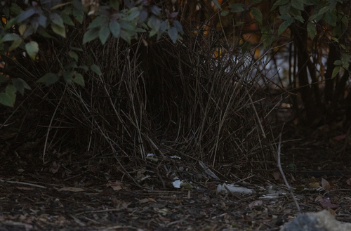
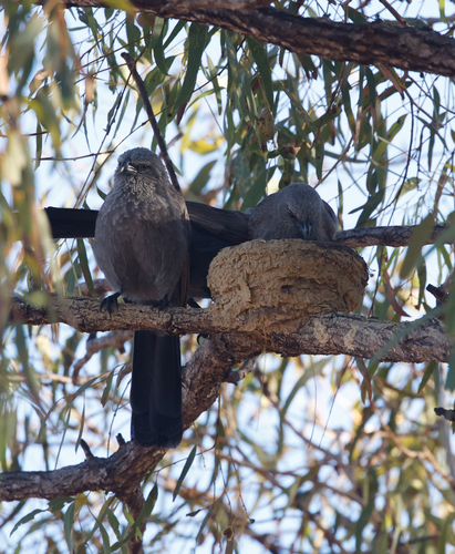
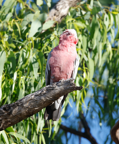
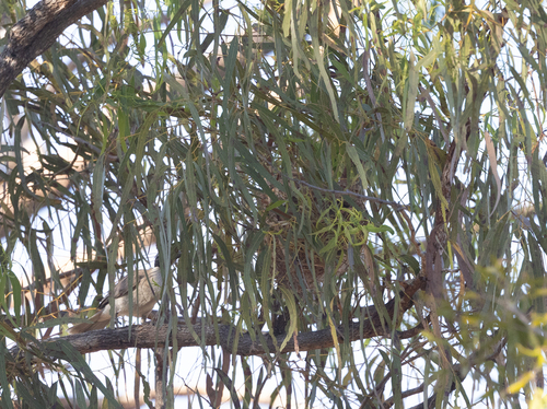
Research-grade observations from iNaturalist (within ~15 mi).
Events
Gallery
Official Identifiers
ABS — Australian Bureau of Statistics
- ASGS 2021
- SAL31945
- Population (Wikidata)
- 94
- Wikidata
- Q6919987
ASGS 2021 ID via Wikidata P10112
Sources
- • Wikipedia
- • Wikidata
- • USGS Earthquake Catalog (global feed)
- • GBIF (Global Biodiversity Information Facility)
- • iNaturalist
- • Open-Meteo / sunrise-sunset.org
- • Wikipedia Pageviews API
- • Open Library
- • ABS — Australian Bureau of Statistics — ASGS 2021 ID via Wikidata P10112