Browse / Australia / Queensland / Mount Molloy
Mount Molloy
Queenslandvillage

Mount Molloy
Total population
266
Air quality index
Demographic figures from Australian Bureau of Statistics. Overview below cites Wikipedia and may reference a different year.
City facts
Overview
Mount Molloy is a rural town and locality in the Shire of Mareeba, Queensland, Australia. It is a historic mining and timber town, 55 kilometres (34 mi) north of Cairns. The dominant industry in the area is cattle grazing; the town itself consists of a few shops and an old hotel. In the 2021 census, the locality of Mount Molloy had a population of 266 people.
Read more on WikipediaHistory & geography
History
Djabugay (also known as Djabuganjdji, Tjupakai) is a language of Far North Queensland, particularly the area around the Kuranda Range and Barron River Catchment. The Djabugay language region includes the land within the local government boundary of Cairns Regional Council. Mount Molloy was named after Patrick Molloy, an early teamster for a stock route and the person who discovered copper at what was to become Mount Molloy in 1885. At its height, in the 1890s, Mount Molloy was a copper mining town. It was commonly used as camping grounds, and Chinese market gardeners used to grow grain and other foodstuffs for the miners nearby. Molloy Post Office opened by July 1905; it was renamed Mount Molloy in 1982. Mount Molloy School of Arts officially opened on Monday 13 November 1905. It was . Mount Molloy Provisional School opened on 23 July 1906 at Bakers Road. By June 1907, it had enrolment of 75 students with an average daily attendance of 60 students. It became Mount Molloy State School on 1 January 1909. It was relocated on two occasions due to flooding, officially opened in 1976 at its current location. A private railway was constructed to Mount Molloy, junctioning from the Cairns to Mareeba line at Biboohra, opening in August 1908. It was built by Mount Molloy Ltd to serve its smelters. Ownership was transferred to Queensland Railways on 1 March 1917 following the liquidation of the company, and the line was extended to Rumula on 5 December 1926. The branch closed on 1 May 1964. Between 2008 and 2013, Mount Molloy (and the rest of the Shire of Mareeba) was within the Tablelands Region.
Geography
Mount Molloy lies within both the Mitchell River and Barron River water catchment areas. Nearby towns are Julatten, Mount Carbine and Mount Mulligan. Quaid Road terminates south of Mount Molloy. The town lies in the western part of the locality, with the central and eastern part protected within Kuranda National Park and the Kuranda West Forest Reserve.
Excerpted from the corresponding Wikipedia article (CC BY-SA).
Geography
Coordinates & boundaries from the US Census TIGER/Line shapefiles.
Climate
Air quality
Current readings from Open-Meteo Air Quality API (Copernicus CAMS European reanalysis).
Walkability
Amenities nearby
Wildlife & biodiversity
Most-observed species
- Bar-shouldered DoveGeopelia humeralis (Temminck, 1821) · Aves4,763
- Rainbow LorikeetTrichoglossus haematodus (Linnaeus, 1771) · Aves4,055
- Yellow-spotted HoneyeaterMeliphaga notata (Gould, 1867) · Aves3,707
- Rufous ShrikethrushColluricincla rufogaster Gould, 1845 · Aves3,373
- Spectacled MonarchSymposiachrus trivirgatus (Temminck, 1826) · Aves3,187
- Macleay's HoneyeaterXanthotis macleayanus (E.P.Ramsay, 1875) · Aves3,144
- Forest KingfisherTodiramphus macleayii (Jardine & Selby, 1830) · Aves3,020
- Peaceful DoveGeopelia placida Gould, 1844 · Aves3,007
Citizen-science & research observations from the Global Biodiversity Information Facility (GBIF).
Earthquake history
Events from the USGS Earthquake Catalog (global) (FDSN Event Web Service).
Photos
Sights & places nearby
Notable people from here
Nearby places in Queensland
- Julatten4.9 mi away
- Mossman Gorge Aboriginal Community13.8 mi away
- Mount Carbine16.4 mi away
- North Mossman16.5 mi away
- Rocky Point20.2 mi away
- Cow Bay31.7 mi away
- Yarrabah38.9 mi away
- Tolga39.1 mi away · pop. 1,277
- Kairi39.9 mi away · pop. 490
- Gordonvale41.4 mi away · pop. 6,035
- Green Island42.8 mi away
- Tinaburra43.2 mi away
Geography & sun
Elevation, sunrise/sunset and daylight from Open-Meteo. Solar climatology from NASA POWER.
Nearby airports
Public attention
Pageview totals from the Wikimedia Pageviews API.
Books about this place
Recent natural events nearby
Ground air-quality sensors
Recently spotted species
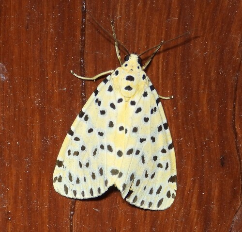
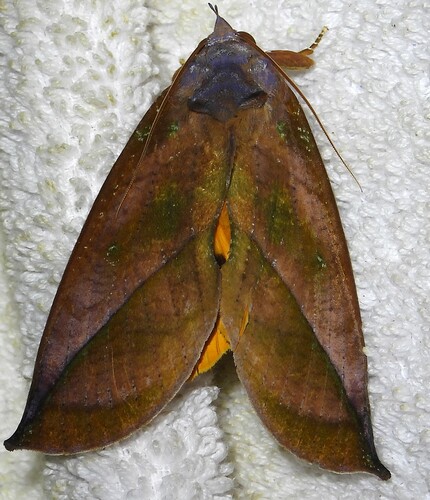
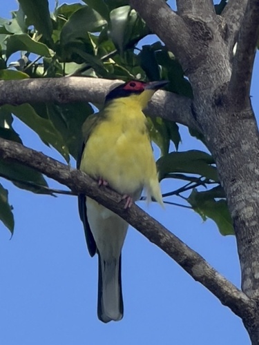
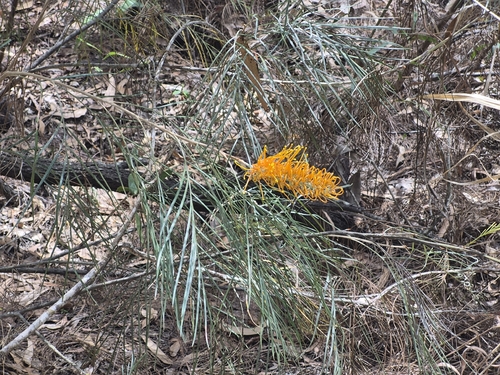
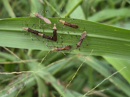
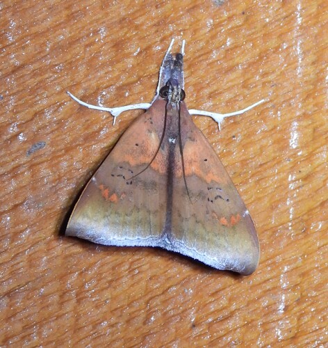
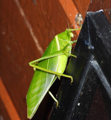
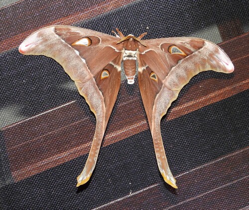
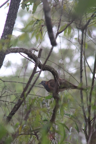
Research-grade observations from iNaturalist (within ~15 mi).
Events
Gallery
Official Identifiers
ABS — Australian Bureau of Statistics
- ASGS 2021
- SAL32000
- Population (Wikidata)
- 254
- Wikidata
- Q6922233
ASGS 2021 ID via Wikidata P10112
Sources
- • Wikipedia
- • Open-Meteo Air Quality (CAMS)
- • USGS Earthquake Catalog (global feed)
- • GBIF (Global Biodiversity Information Facility)
- • iNaturalist
- • Open-Meteo / sunrise-sunset.org
- • Wikipedia Pageviews API
- • ABS — Australian Bureau of Statistics — ASGS 2021 ID via Wikidata P10112