Browse / Australia / Western Australia / Marble Bar
Marble Bar
Western Australiatown

Marble Bar
Total population
153
Air quality index
Demographic figures from Australian Bureau of Statistics. Overview below cites Wikipedia and may reference a different year.
City facts
Facts from Wikidata (CC0).
Overview
Marble Bar is a town and rock formation in the Pilbara region of north-western Western Australia. It was the social centre of European settlers in the Pilbara region during the early 1900s, predating the construction of other towns now established.
Read more on WikipediaHistory & geography
History
Marble Bar has been described as "the centre of the Pilbara back in the early 1900s". The town predates Port Hedland, Newman, and Karratha. The name Marble Bar was derived from a nearby jasper bar mistaken for marble and now known as Marble Bar, which runs across the bed of the Coongan River. Several large gold nuggets were discovered as a result of the goldrush. The 333 ounce Little Hero nugget, the 413 ounce Bobby Dazzler and the 332 ounce General Gordon nugget were all found in the goldfields around the town. By 1895, the town had its Government offices built; these are now National Trust buildings. Cut from local stone, the buildings still stand today. The town's Ironclad Hotel was built in the 1890s, and has been listed on the Western Australian register of heritage places since 2006. It is constructed of corrugated iron, and was given its name by American miners who were reminded of the ironclad ships of the United States navy. A telegraph line was proposed during discussion of the Estimates in January 1893 to link Condon to Marble Bar. After approval, many basic administrative errors delayed or interrupted construction of the line to an area in which very significant gold finds were being mined. These mines needed communication with other centres – including to England. Finally the line was completed at the end of July 1894 - to the satisfaction of an increasingly irate community. A Post and Telegraph Office was opened on 25 August 1894. During World War II, United States Army Air Forces and Royal Australian Air Force heavy bombers were based away as the crow flies at Corunna Downs Airfield. Allied airmen from the base attacked Japanese forces as far away as Borneo. The Port Hedland to Marble Bar Railway opened on 15 July 1911, costing around £300,000 to…
Excerpted from the corresponding Wikipedia article (CC BY-SA).
Geography
Coordinates & boundaries from the US Census TIGER/Line shapefiles.
Climate
10-year averages from ERA5 reanalysis (Open-Meteo).
Air quality
Current readings from Open-Meteo Air Quality API (Copernicus CAMS European reanalysis).
Walkability
Amenities nearby
Wildlife & biodiversity
Most-observed species
- Magpie-larkGrallina cyanoleuca (Latham, 1802) · Aves83
- Little CorellaCacatua sanguinea Gould, 1843 · Aves77
- White-plumed HoneyeaterPtilotula penicillata (Gould, 1837) · Aves58
- Gray TealAnas gracilis Buller, 1869 · Aves55
- Zebra FinchTaeniopygia guttata (Vieillot, 1817) · Aves53
- GalahEolophus roseicapilla (Vieillot, 1817) · Aves52
- Rainbow Bee-eaterMerops ornatus Latham, 1801 · Aves51
- Masked LapwingVanellus miles (Boddaert, 1783) · Aves48
Citizen-science & research observations from the Global Biodiversity Information Facility (GBIF).
Earthquake history
Most recent
- M 4.3 — 2021-12-0945 km N of Nullagine, Australia
- M 5.3 — 2021-11-1327 km NNE of Marble Bar, Australia
- M 4.6 — 2019-08-1264 km NE of Nullagine, Australia
- M 4 — 2011-07-1472 km ENE of Marble Bar, Australia
Events from the USGS Earthquake Catalog (global) (FDSN Event Web Service).
Photos
Sights & places nearby
Notable people from here
Nearby places in Western Australia
Geography & sun
Elevation, sunrise/sunset and daylight from Open-Meteo. Solar climatology from NASA POWER.
Nearby airports
Public attention
Pageview totals from the Wikimedia Pageviews API.
Books about Marble Bar


Search results from Open Library.
Recent natural events nearby
Ground air-quality sensors
Recently spotted species
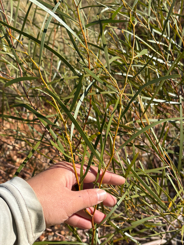
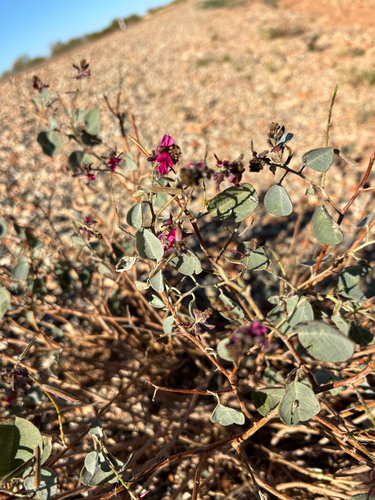
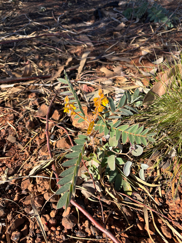
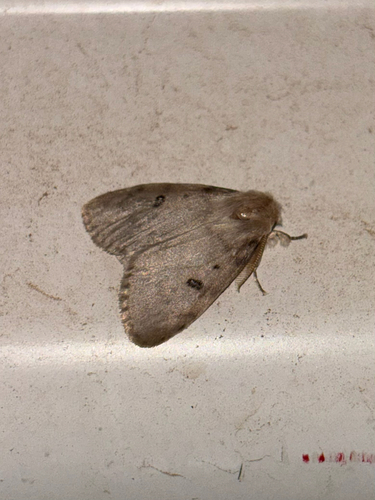
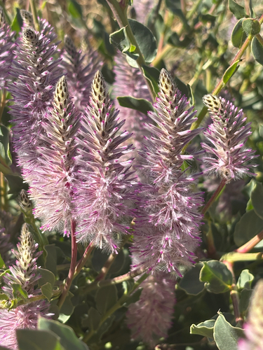
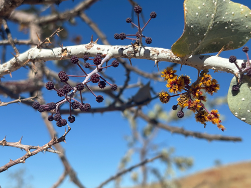
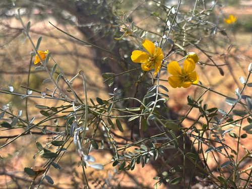
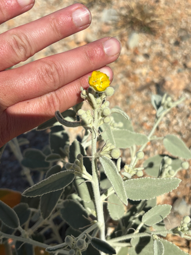
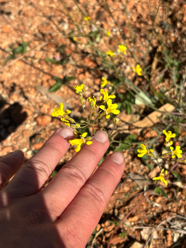
Research-grade observations from iNaturalist (within ~15 mi).
Events
Gallery
Geotagged photos within ~6 miles of Marble Bar, from Wikimedia Commons contributors.


Photos via Wikimedia Commons — see each image page for license & attribution.
Sources
- • Wikipedia
- • Open-Meteo (ERA5 reanalysis)
- • Wikimedia Commons
- • Wikidata
- • Open-Meteo Air Quality (CAMS)
- • USGS Earthquake Catalog (global feed)
- • GBIF (Global Biodiversity Information Facility)
- • iNaturalist
- • Open-Elevation
- • Open-Meteo / sunrise-sunset.org
- • Wikipedia Pageviews API
- • Open Library