Browse / United States / Washington / Forks
Forks
Washingtoncity

Forks
Total population
3,400
Median home value
$227,200
Bachelor's+
Median income
$60,481
Founded
1945
Air quality index
Demographic figures from US Census Bureau · ACS 5-year estimates. Overview below cites Wikipedia and may reference a different year.
City facts
Facts from Wikidata (CC0).
Overview
Forks, also previously known as the unincorporated town of Quillayute, is a town in southwest Clallam County, Washington, United States. The population was 3,335 at the 2020 census. It is named after the forks in the nearby Bogachiel, Calawah, and Sol Duc rivers which join to form the Quillayute River.
Read more on WikipediaHistory & geography
History
Forks was once inhabited by the Quileute Native American tribe, before they ceded their territory. In 1889, a reservation was created near Forks; that same year the village was burnt down by settler Daniel Pullen. Forks is from tribal burning areas that the tribes used to regenerate young ferns. The phrase "prairie upstream" from the Quileute language was translated and became the name Forks Prairie. A new road passable for automobiles opened from Lake Crescent to Forks in 1927 and was replaced by the Olympic Loop Highway (US 101) in 1931. The city gained popularity for being a key setting in Stephenie Meyer's Twilight series (2005 to 2008) and related film adaptations (2008 to 2012).
Geography
The city lies on Forks Prairie just east of the confluence of the Calawah River with the Bogachiel River. U.S. Route 101 passes through the town. The Olympic rainforest surrounds the town. Forks has an oceanic climate (Cfb) in a temperate rainforest with high rainfall, above per year. Although there is a drying trend in summer, rain is still abundant, just not as wet as the rest of the year. Forks averages 212 days per year with measurable precipitation. According to the United States Census Bureau, the city has a total area of , all of it land.
Excerpted from the corresponding Wikipedia article (CC BY-SA).
Demographics & economy
Race & ethnicity
Source: US Census Bureau — American Community Survey, 5-year estimates.
Geography
Coordinates & boundaries from the US Census TIGER/Line shapefiles.
Climate
Current forecast
Forecast for Forks, WA from NOAA NWS API.
Air quality
Current readings from Open-Meteo Air Quality API (Copernicus CAMS European reanalysis).
Industrial & pollution facilities
Natural hazard risk
Health (adults)
Age-adjusted prevalence estimates from CDC PLACES (latest release).
Walkability
Amenities nearby
Wildlife & biodiversity
Most-observed species
- American CrowCorvus brachyrhynchos C.L.Brehm, 1822 · Aves1,920
- American RobinTurdus migratorius Linnaeus, 1766 · Aves1,388
- Bald EagleHaliaeetus leucocephalus (Linnaeus, 1766) · Aves1,194
- Brown PelicanPelecanus occidentalis Linnaeus, 1766 · Aves1,140
- Pacific WrenTroglodytes pacificus S.F.Baird, 1864 · Aves1,094
- Song SparrowMelospiza melodia (A.Wilson, 1810) · Aves1,027
- Steller's JayCyanocitta stelleri (Gmelin, 1788) · Aves988
- Chestnut-backed ChickadeePoecile rufescens (J.K.Townsend, 1837) · Aves933
Citizen-science & research observations from the Global Biodiversity Information Facility (GBIF).
Schools
Largest nearby schools
- Insight School of WashingtonHigh · Forks · 1,556 students · 14.8:1 ratio
- Forks Elementary SchoolElementary · Forks · 341 students · 13.6:1 ratio
- Forks High SchoolHigh · Forks · 290 students · 12.6:1 ratio
- Forks Middle SchoolMiddle · Forks · 273 students · 13:1 ratio
- District Run Home SchoolOther · Forks · 9 students · 9:1 ratio
Public K–12 schools within ~10 mi from Urban Institute Education Data Portal (NCES Common Core of Data, 2022).
Earthquake history
Most recent
- M 2.51 — 2026-08-0911 km SSW of River Road, Washington
- M 2.85 — 2025-10-228 km SW of Port Angeles, Washington
- M 2.84 — 2025-10-0921 km NW of Hoodsport, Washington
- M 2.6 — 2025-09-1814 km SW of Cowichan Bay, Canada
- M 3.7 — 2025-08-1917 km NNW of Sekiu, Washington
- M 2.82 — 2025-08-1016 km SSW of River Road, Washington
Events from the USGS Earthquake Catalog (global) (FDSN Event Web Service).
Photos
Sights & places nearby
Notable people from here

People born within ~10 km, from Wikidata (CC0). Click any name for their Wikipedia article.
Nearby places in Washington
- Santiago45.8 mi away
- Qui-nai-elt Village49.4 mi away
- Aberdeen Gardens68.2 mi away
- Aberdeen72.8 mi away · pop. 17,088
- Roche Harbor73.5 mi away
- Friday Harbor74.8 mi away
- Port Townsend74.9 mi away · pop. 10,438
- Gorst83.7 mi away · pop. 550
- Whidbey Island Station84.6 mi away · pop. 2,027
- Navy Yard City84.9 mi away · pop. 2,672
- Port Orchard86.5 mi away · pop. 17,149
- East Port Orchard87.6 mi away
Geography & sun
Elevation, sunrise/sunset and daylight from Open-Meteo. Solar climatology from NASA POWER.
Nearby airports
Public attention
Pageview totals from the Wikimedia Pageviews API.
Books about Forks

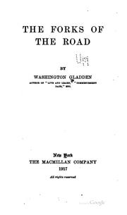

Search results from Open Library.
Recent natural events nearby
- Wildfire Electric, Whatcom, WashingtonWildfires · 2026-08-22 · 144 mi
- Wildfire KING, Kittitas, WashingtonWildfires · 2026-08-19 · 149 mi
- Wildfire GOAT, Kittitas, WashingtonWildfires · 2026-08-22 · 159 mi
- Wildfire Thunder Creek, Skagit, WashingtonWildfires · 2026-08-22 · 160 mi
- Wildfire SISI, Chelan, WashingtonWildfires · 2026-08-14 · 166 mi
- Wildfire Colwash, Yakima, WashingtonWildfires · 2026-08-22 · 232 mi
- Wildfire Austin Non-Stat, Clackamas, OregonWildfires · 2026-08-12 · 233 mi
- Wildfire AUSTIN, Clackamas, OregonWildfires · 2026-08-09 · 233 mi
Wildfires, storms and other events from NASA EONET (last 12 months, within 250 mi).
Ground air-quality sensors
Recently spotted species
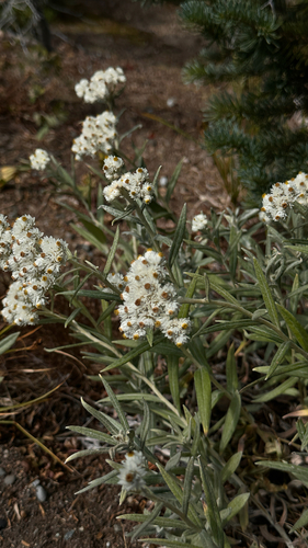
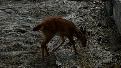
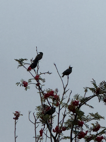
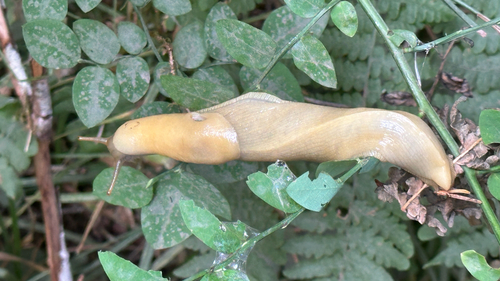
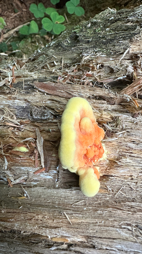
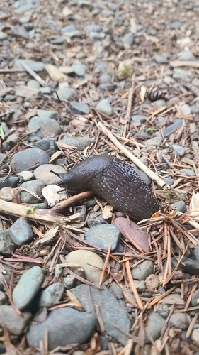
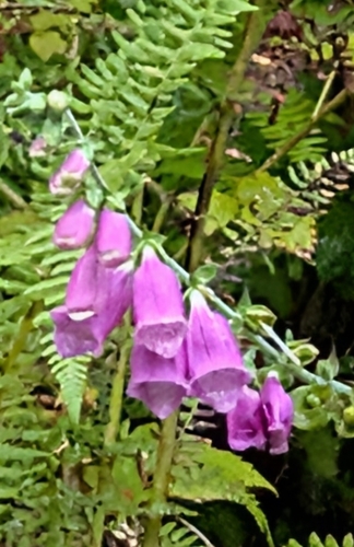
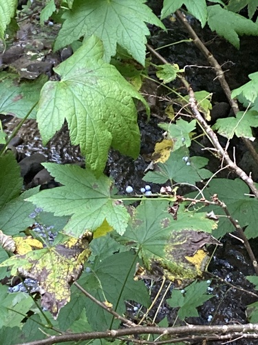
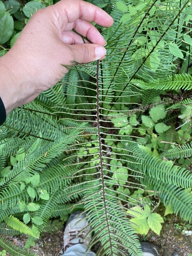
Research-grade observations from iNaturalist (within ~15 mi).
Nearest stream gauge
Events
Gallery
Sources
- • Wikipedia
- • US Census Bureau (ACS 5-year estimates)
- • NOAA National Weather Service
- • Wikidata
- • Open-Meteo Air Quality (CAMS)
- • USGS Earthquake Catalog (global feed)
- • NCES via Urban Institute Education Data Portal
- • GBIF (Global Biodiversity Information Facility)
- • iNaturalist
- • CDC PLACES
- • Open-Meteo / sunrise-sunset.org
- • Wikipedia Pageviews API
- • Open Library
- • NASA EONET