Browse / United States / Washington / Aberdeen
Aberdeen
Washingtoncity

Aberdeen
Total population
17,088
Median home value
$237,300
Bachelor's+
Median income
$52,195
Founded
1884
Demographic figures from US Census Bureau · ACS 5-year estimates. Overview below cites Wikipedia and may reference a different year.
City facts
Facts from Wikidata (CC0).
Overview
Aberdeen is a city in Grays Harbor County, Washington, United States. The population was 17,013 at the 2020 census. The city is the most populous in Grays Harbor County and the region's economic center, bordering the cities of Hoquiam and Cosmopolis. Aberdeen is occasionally referred to as the "Gateway to the Olympic Peninsula".
Read more on WikipediaHistory & geography
History
Samuel Benn, a New York City native, established a homestead on the Chehalis River in 1859. He later platted a town at the site named Aberdeen. According to accounts collected by historian Edmond S. Meany, the name has two possible origins: from the Ilwaco-based Aberdeen Packing Company, which opened a cannery on the homestead in 1873; Like the Scottish city, Aberdeen is a port settlement situated at the mouth of two rivers—the Chehalis and the Wishkah. Hoquiam and Aberdeen citizens together built a spur; in 1895, the line connected Northern Pacific tracks to Aberdeen. By 1900, Aberdeen had become home to many saloons, brothels, and gambling establishments. It was nicknamed both "The Hellhole of the Pacific" and "The Port of Missing Men" due to its high murder rate. One notable resident was Billy Gohl, known locally as Billy "Ghoul", who was rumored to have killed at least 140 men; he disposed of the bodies in the Wishkah River. Gohl was ultimately convicted of two murders. Aberdeen was hit hard during the Great Depression, with the number of major local sawmills reduced from 37 to 9. By the late 1970s, most of the area had been logged and the remaining mills closed during the next decade. By the early 1990s, the industry was decimated due to resource reduction. Local political and business leaders ignored this fact and did not pursue economic diversification.
Geography
Aberdeen is at the eastern end of Grays Harbor, near the mouth of the Chehalis River and southwest of the Olympic Mountains. Grays Harbor is notable as the northernmost ria on North America's Pacific Coast because it has remained free of glaciers throughout the Quaternary due to unfavorable topography and warm temperatures. It is thought that, during glacial periods of the Quaternary, the Chehalis River was a major refugium for aquatic species, as was the west coast from the Olympic Peninsula southward for plants that later formed the northern part of the Pacific temperate rainforest in formerly glaciated areas. According to the United States Census Bureau, the city has a total area of , of which is land and is water. }}
Excerpted from the corresponding Wikipedia article (CC BY-SA).
Demographics & economy
Race & ethnicity
Source: US Census Bureau — American Community Survey, 5-year estimates.
Geography
Coordinates & boundaries from the US Census TIGER/Line shapefiles.
Climate
Current forecast
Forecast for Aberdeen, WA from NOAA NWS API.
Air quality
Industrial & pollution facilities
Natural hazard risk
Health (adults)
Age-adjusted prevalence estimates from CDC PLACES (latest release).
Walkability
Amenities nearby
Wildlife & biodiversity
Most-observed species
- Song SparrowMelospiza melodia (A.Wilson, 1810) · Aves4,266
- Canada Goose (canadensis Group)Branta canadensis (Linnaeus, 1758) · Aves3,523
- American CrowCorvus brachyrhynchos C.L.Brehm, 1822 · Aves3,394
- American RobinTurdus migratorius Linnaeus, 1766 · Aves3,260
- Great Blue/Cocoi HeronArdea herodias Linnaeus, 1758 · Aves3,206
- MallardAnas platyrhynchos Linnaeus, 1758 · Aves3,114
- European StarlingSturnus vulgaris Linnaeus, 1758 · Aves2,572
- Barn SwallowHirundo rustica Linnaeus, 1758 · Aves2,523
Citizen-science & research observations from the Global Biodiversity Information Facility (GBIF).
Schools
Earthquake history
Most recent
- M 4.15 — 2026-09-296 km WNW of Wauna, Washington
- M 2.84 — 2026-05-274 km W of Wauna, Washington
- M 2.86 — 2026-03-112 km W of Home, Washington
- M 2.82 — 2025-12-255 km W of Gorst, Washington
- M 2.65 — 2025-12-195 km WSW of Pe Ell, Washington
- M 2.84 — 2025-10-0921 km NW of Hoodsport, Washington
Events from the USGS Earthquake Catalog (global) (FDSN Event Web Service).
Photos
Sights & places nearby
Notable people from here


People born within ~10 km, from Wikidata (CC0). Click any name for their Wikipedia article.
Nearby places in Washington
- Aberdeen Gardens5.9 mi away
- Tokeland20.1 mi away · pop. 122
- Qui-nai-elt Village26 mi away
- Centralia43.4 mi away · pop. 18,830
- Bucoda46.2 mi away · pop. 494
- Tanglewilde48.8 mi away
- Home52.3 mi away · pop. 1,665
- Nisqually Indian Community53.4 mi away · pop. 628
- Lower Elochoman56.3 mi away
- Fox Island58.1 mi away · pop. 3,414
- Steilacoom58.9 mi away · pop. 6,686
- Raft Island59 mi away
Geography & sun
Elevation, sunrise/sunset and daylight from Open-Meteo. Solar climatology from NASA POWER.
Nearby airports
Public attention
Pageview totals from the Wikimedia Pageviews API.
Books about Aberdeen

Search results from Open Library.
Recent natural events nearby
- Wildfire KING, Kittitas, WashingtonWildfires · 2026-08-19 · 125 mi
- Wildfire GOAT, Kittitas, WashingtonWildfires · 2026-08-22 · 134 mi
- Wildfire Electric, Whatcom, WashingtonWildfires · 2026-08-22 · 160 mi
- Wildfire Austin Non-Stat, Clackamas, OregonWildfires · 2026-08-12 · 162 mi
- Wildfire AUSTIN, Clackamas, OregonWildfires · 2026-08-09 · 162 mi
- Wildfire SISI, Chelan, WashingtonWildfires · 2026-08-14 · 168 mi
- Wildfire Thunder Creek, Skagit, WashingtonWildfires · 2026-08-22 · 169 mi
- Wildfire Colwash, Yakima, WashingtonWildfires · 2026-08-22 · 180 mi
Wildfires, storms and other events from NASA EONET (last 12 months, within 250 mi).
Ground air-quality sensors
Recently spotted species
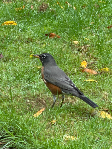
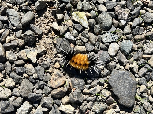
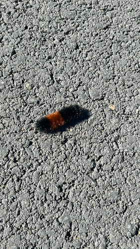
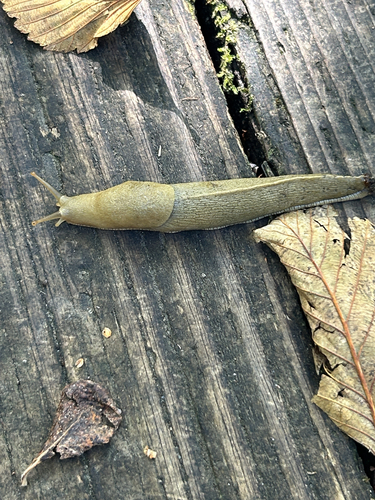
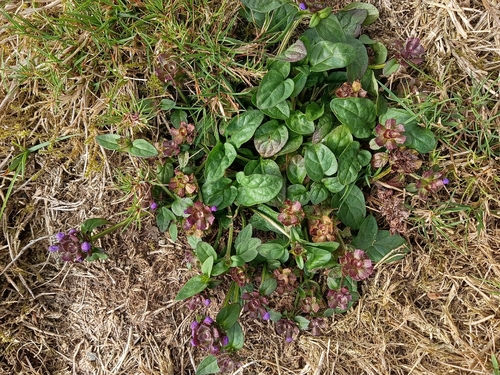
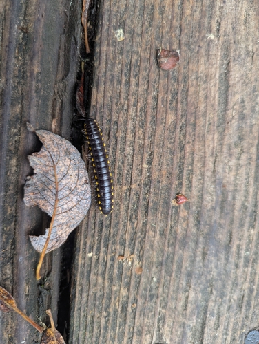
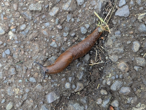
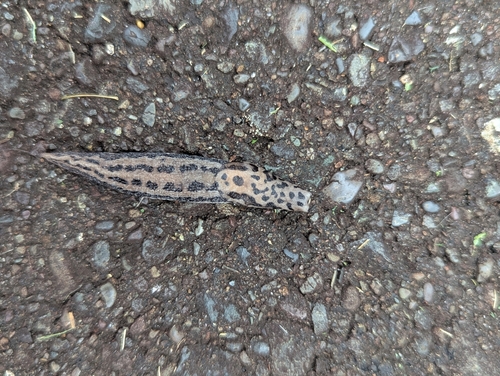
Research-grade observations from iNaturalist (within ~15 mi).
Nearest stream gauge
Events
Gallery
Sources
- • Wikipedia
- • US Census Bureau (ACS 5-year estimates)
- • NOAA National Weather Service
- • Wikidata
- • USGS Earthquake Catalog (global feed)
- • GBIF (Global Biodiversity Information Facility)
- • iNaturalist
- • CDC PLACES
- • Open-Meteo / sunrise-sunset.org
- • Wikipedia Pageviews API
- • Open Library
- • NASA EONET