Browse / Australia / Queensland / Marian
Marian
Queenslandtown

Marian
Demographic figures from Australian Bureau of Statistics. Overview below cites Wikipedia and may reference a different year.
City facts
Overview
Marian is a rural town and locality in the Mackay Region, Queensland, Australia. In the 2021 census, the locality of Marian had a population of 4,224 people.
Read more on WikipediaHistory & geography
History
The town name Marian comes from the name of the (now closed) Marian railway station, which in turn reportedly derived its name from a local property called Mary Ann. Marian Presbyterian Church opened in 1902. Marian Mill Post Office opened by 1 January 1909 (a receiving office had been open from 1886) and was renamed Marian in 1910. In December 1882, Helen Porter Mitchell (later Dame Nellie Melba) married Charles Armstrong, the manager of the Marian Sugar Mill. A house was built for them beside the mill. It was not a happy marriage as they separated in December 1883. Their home was later relocated to a riverbank location on Eungella Road in Edward Lloyd Park two kilometres from the centre of Marian and named Melba House. It serves as a museum to Nellie Melba and as the Pioneer Valley Visitor Information Centre. The Marian Mill Provisional School opened on 15 November 1886. In 1899 it became the Marian State School.The Sisters of Mercy established a convent in 1921 with a view to establishing a school. It closed on 31 December 1987. On Whitsunday 5 June 1927, Bishop Shiel officially opened and blessed the new Holy Rosary Catholic Church. It was an imposing Romanesque structure. The old church was relocated to lower level on the site, between the new church and the convent.
Geography
The town is located on the south bank of the Pioneer River approximately west of Mackay. The river forms part of the northern boundary. In the east is Mount Vince which remains vegetated. Surrounding the town is farmland, mostly growing sugar cane, which is serviced by a network of rail lines. These lines lead to the Marian Mill which was constructed in 1885.
Excerpted from the corresponding Wikipedia article (CC BY-SA).
Geography
Coordinates & boundaries from the US Census TIGER/Line shapefiles.
Climate
10-year averages from ERA5 reanalysis (Open-Meteo).
Air quality
Walkability
Amenities nearby
Wildlife & biodiversity
Most-observed species
- Masked LapwingVanellus miles (Boddaert, 1783) · Aves369
- Magpie-larkGrallina cyanoleuca (Latham, 1802) · Aves327
- Black KiteMilvus migrans (Boddaert, 1783) · Aves326
- Willie-wagtailRhipidura leucophrys (Latham, 1802) · Aves275
- Torresian CrowCorvus orru Bonaparte, 1850 · Aves269
- Rainbow LorikeetTrichoglossus haematodus (Linnaeus, 1771) · Aves264
- Pacific Black DuckAnas superciliosa J.F.Gmelin, 1789 · Aves264
- Australian MagpieGymnorhina tibicen (Latham, 1802) · Aves249
Citizen-science & research observations from the Global Biodiversity Information Facility (GBIF).
Earthquake history
Events from the USGS Earthquake Catalog (global) (FDSN Event Web Service).
Photos
Sights & places nearby
Notable people from here
Nearby places in Queensland
Geography & sun
Elevation, sunrise/sunset and daylight from Open-Meteo. Solar climatology from NASA POWER.
Nearby airports
Public attention
Pageview totals from the Wikimedia Pageviews API.
Books about Marian


Search results from Open Library.
Recent natural events nearby
Ground air-quality sensors
Recently spotted species
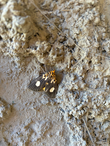
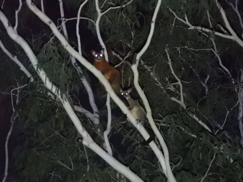
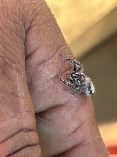
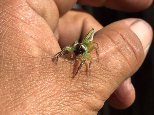
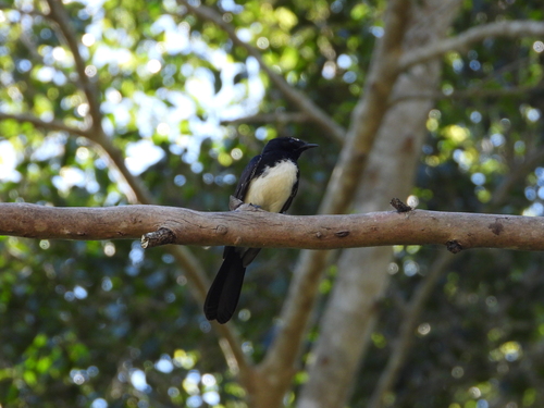
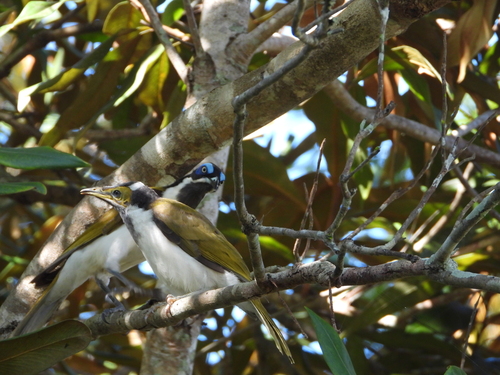
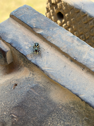
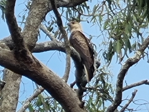
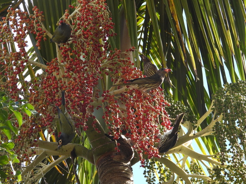
Research-grade observations from iNaturalist (within ~15 mi).
Events
Gallery
Geotagged photos within ~6 miles of Marian, from Wikimedia Commons contributors.


.jpg)
_(6837884163).jpg)


.jpg)


Photos via Wikimedia Commons — see each image page for license & attribution.
Sources
- • Wikipedia
- • Open-Meteo (ERA5 reanalysis)
- • Wikimedia Commons
- • Wikidata
- • USGS Earthquake Catalog (global feed)
- • GBIF (Global Biodiversity Information Facility)
- • iNaturalist
- • Open-Meteo / sunrise-sunset.org
- • Wikipedia Pageviews API
- • Open Library