Browse / Australia / South Australia / Marla
Marla
South Australiavillage
Total population
35
Demographic figures from Australian Bureau of Statistics. Overview below cites Wikipedia and may reference a different year.
City facts
Overview
Marla is a town and locality in the Australian state of South Australia located in the state's north-west about 970 kilometres (600 mi) north-west of the state capital of Adelaide and about 402 kilometres (250 mi) south of the town of Alice Springs in the Northern Territory.
Read more on WikipediaHistory & geography
History
Marla was constituted as a government town under the Crown Lands Act 1929-1980 on 21 May 1981 and was gazetted as a locality under the Geographical Names Act 1991 on 8 February 2001 with the assigned boundaries being similar to that of the government town. Geoffrey H. Manning, the South Australian historian, reports that the town was proclaimed as a place for "the provision of essential services to travellers crossing the continent" and to act as an administrative centre for the north-west part of the state including the Aṉangu Pitjantjatjara Yankunytjatjara lands and the Mintabie Opal Field to the town's west.
Excerpted from the corresponding Wikipedia article (CC BY-SA).
Geography
Coordinates & boundaries from the US Census TIGER/Line shapefiles.
Climate
10-year averages from ERA5 reanalysis (Open-Meteo).
Air quality
Walkability
Amenities nearby
Wildlife & biodiversity
Most-observed species
- Little CrowCorvus bennetti North, 1901 · Aves48
- Magpie-larkGrallina cyanoleuca (Latham, 1802) · Aves45
- Yellow-throated MinerManorina flavigula (Gould, 1840) · Aves42
- Willie-wagtailRhipidura leucophrys (Latham, 1802) · Aves37
- Crested PigeonOcyphaps lophotes (Temminck, 1822) · Aves33
- GalahEolophus roseicapilla (Vieillot, 1817) · Aves31
- Red-capped RobinPetroica goodenovii (Vigors & Horsfield, 1827) · Aves30
- Zebra FinchTaeniopygia guttata (Vieillot, 1817) · Aves30
Citizen-science & research observations from the Global Biodiversity Information Facility (GBIF).
Earthquake history
Events from the USGS Earthquake Catalog (global) (FDSN Event Web Service).
Photos
Sights & places nearby
Notable people from here
Nearby places in South Australia
- Welbourne Hill28.5 mi away
- Murputja226.4 mi away
- Jacinth Ambrosia Village263 mi away
- Koonibba Aboriginal Community318.1 mi away
- Mount Nor West Homestead323.3 mi away
- Witchelina Homestead327.3 mi away
- Nullarbor Roadhouse330.2 mi away
- Oak Dam Village334.5 mi away
- Smoky Bay350.8 mi away · pop. 162
- Lyndhurst352.7 mi away · pop. 3
- Poochera381.3 mi away · pop. 43
- Iga-Warta Aboriginal Community393.6 mi away · pop. 7
Geography & sun
Elevation, sunrise/sunset and daylight from Open-Meteo. Solar climatology from NASA POWER.
Nearby airports
Public attention
Pageview totals from the Wikimedia Pageviews API.
Books about Marla

Search results from Open Library.
Recent natural events nearby
Ground air-quality sensors
Recently spotted species
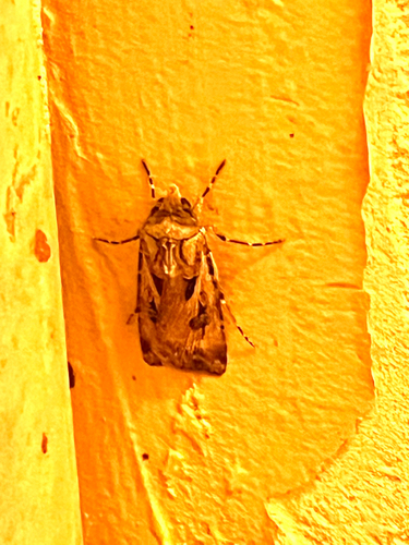
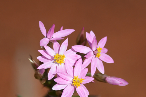
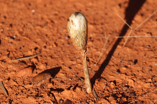
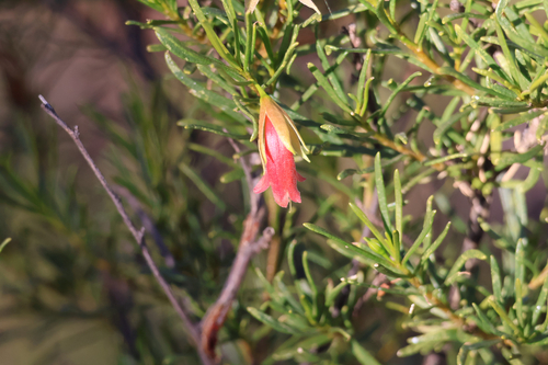
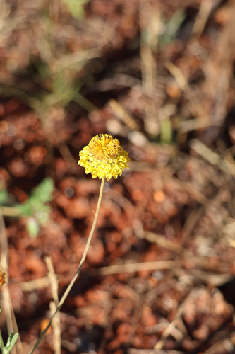
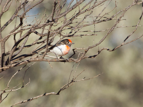
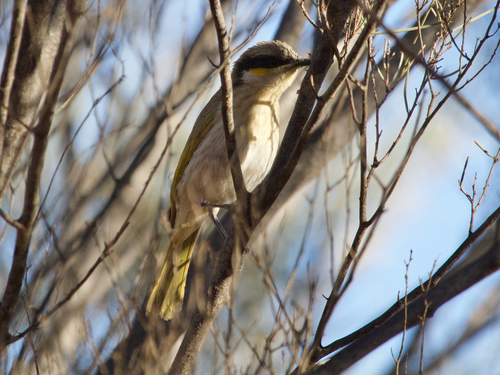
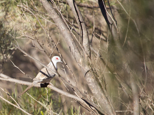
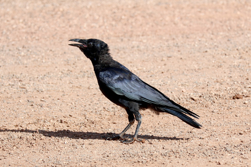
Research-grade observations from iNaturalist (within ~15 mi).
Events
Gallery
Geotagged photos within ~6 miles of Marla, from Wikimedia Commons contributors.


Photos via Wikimedia Commons — see each image page for license & attribution.
Official Identifiers
ABS — Australian Bureau of Statistics
- ASGS 2021
- SAL40834
- Population (Wikidata)
- 38
- Wikidata
- Q918248
ASGS 2021 ID via Wikidata P10112
Sources
- • Wikipedia
- • Open-Meteo (ERA5 reanalysis)
- • Wikimedia Commons
- • Wikidata
- • USGS Earthquake Catalog (global feed)
- • GBIF (Global Biodiversity Information Facility)
- • iNaturalist
- • Open-Meteo / sunrise-sunset.org
- • Wikipedia Pageviews API
- • Open Library
- • ABS — Australian Bureau of Statistics — ASGS 2021 ID via Wikidata P10112