Browse / Australia / Queensland / Maryborough
Maryborough
Queenslandcity
Total population
22,237
Founded
1847
Demographic figures from Australian Bureau of Statistics. Overview below cites Wikipedia and may reference a different year.
City facts
Facts from Wikidata (CC0).
Overview
Maryborough is a city in the Fraser Coast Region, Queensland, Australia. In the 2021 census, the suburb of Maryborough had a population of 15,287 people.
Read more on WikipediaHistory & geography
History
Evidence of human inhabitation of the Maryborough region stretches back to at least 6,000 years ago. The Gubbi Gubbi (Kabi Kabi) and Batjala (Butchulla) people are the original inhabitants of the region. The Gubbi Gubbi were described as an inland tribe of the Wide Bay–Burnett area, whose lands extend over 3,700 sq. miles and lie west of Maryborough. The northern borders run as far as Childers and Hervey Bay. On the south, they approach the headwaters of the Mary River and Cooroy. Westwards, they reach as far as the Coast Ranges and Kilkivan. The Batjala occupy the more coastal regions including K’gari (Fraser Island). The Batjala and Gubbi Gubbi speak dialects of the Dippil language, the Batjala dialect being spoken in the Fraser Coast region, while the Gubbi Gubbi dialect is spoken in what is now the Gympie and Sunshine Coast regions. The escaped convict James Davis lived among various clans of the Gubbi Gubbi. British navigators Matthew Flinders in 1802 and William Edwardson in 1822 were the first Europeans to take detailed surveys of the Hervey Bay coastline. They both noted that the native population living on its shores appeared numerous. The first British people to live in the region were escaped convicts from the Moreton Bay Penal Settlement. Convicts Richard Parsons and John Graham both briefly lived with local Aboriginals during the late 1820s. James Davis, however, lived with several Gubbi Gubbi clans from 1829 to 1842. He became a member of their society and was given the name Duramboi. After these initial explorations, pastoral squatters started to enter the region looking to establish sheep stations. The first of these was Mynarton Joliffe who, under the employment of the prosperous squatter John Eales, overlanded 16,000 sheep and set up the Tiaro…
Geography
Maryborough is located on the Mary River in Queensland, Australia, approximately north of the state capital, Brisbane. The city is served by the Bruce Highway. It is closely tied to its neighbour city Hervey Bay which is approximately northeast. Together they form part of the area known as the Fraser Coast. The neighbourhood of Baddow is within the west of the suburb near the Mary River. It takes its name from Baddow House, a historic property in the area (). Baddow railway station () and Baddow Island () in the Mary River also take their names from the house.
Excerpted from the corresponding Wikipedia article (CC BY-SA).
Geography
Coordinates & boundaries from the US Census TIGER/Line shapefiles.
Climate
Air quality
Walkability
Amenities nearby
Wildlife & biodiversity
Most-observed species
- Willie-wagtailRhipidura leucophrys (Latham, 1802) · Aves711
- Magpie-larkGrallina cyanoleuca (Latham, 1802) · Aves646
- Masked LapwingVanellus miles (Boddaert, 1783) · Aves591
- Torresian CrowCorvus orru Bonaparte, 1850 · Aves559
- Australian MagpieGymnorhina tibicen (Latham, 1802) · Aves557
- Rainbow LorikeetTrichoglossus haematodus (Linnaeus, 1771) · Aves545
- Australian IbisThreskiornis molucca (Cuvier, 1829) · Aves539
- Brown HoneyeaterLichmera indistincta (Vigors & Horsfield, 1827) · Aves536
Citizen-science & research observations from the Global Biodiversity Information Facility (GBIF).
Earthquake history
Events from the USGS Earthquake Catalog (global) (FDSN Event Web Service).
Photos
Sights & places nearby
Notable people from here
Nearby places in Queensland
- Aldershot5.8 mi away · pop. 603
- Mungar8.3 mi away
- Big Tuan14.8 mi away
- Torbanlea14.9 mi away · pop. 428
- Tiaro15.1 mi away · pop. 472
- Hervey Bay18.8 mi away
- Toogoom20.1 mi away
- Kingfisher Bay22.8 mi away
- Theebine29.9 mi away
- Woodgate Beach30.7 mi away · pop. 941
- Neerdie32.3 mi away
- Childers33.8 mi away · pop. 1,361
Geography & sun
Elevation, sunrise/sunset and daylight from Open-Meteo. Solar climatology from NASA POWER.
Nearby airports
Public attention
Pageview totals from the Wikimedia Pageviews API.
Books about Maryborough

Search results from Open Library.
Recent natural events nearby
Ground air-quality sensors
Recently spotted species
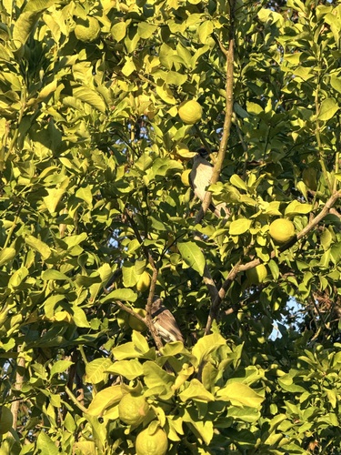
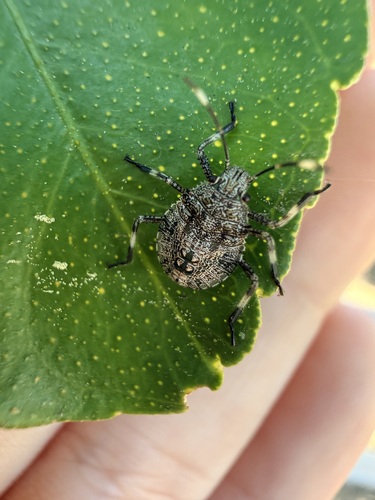
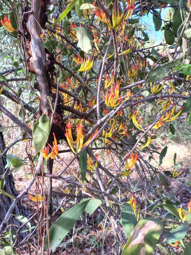
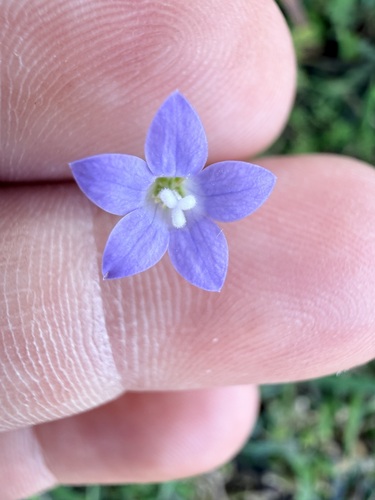
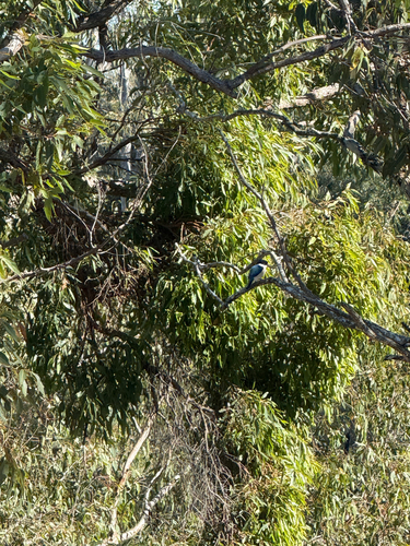
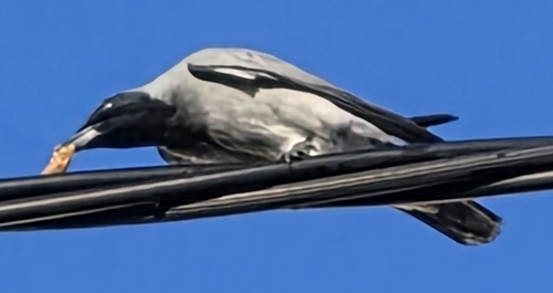
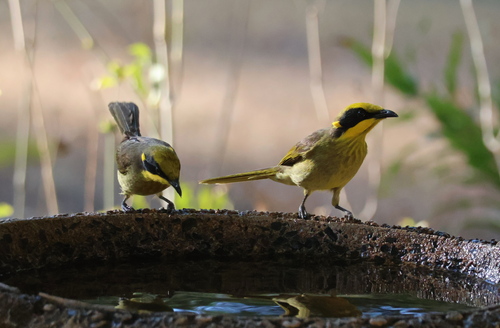
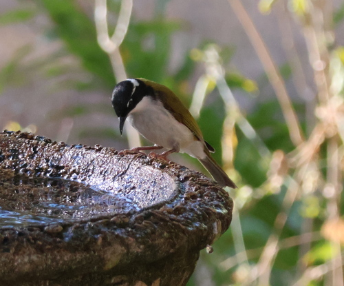
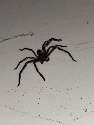
Research-grade observations from iNaturalist (within ~15 mi).
Events
Gallery
Sources
- • Wikipedia
- • Wikidata
- • USGS Earthquake Catalog (global feed)
- • GBIF (Global Biodiversity Information Facility)
- • iNaturalist
- • Open-Meteo / sunrise-sunset.org
- • Wikipedia Pageviews API
- • Open Library