Browse / Australia / Victoria / Mildura
Mildura
Victoriacity

Mildura
Total population
35,652
Founded
1887
Demographic figures from Australian Bureau of Statistics. Overview below cites Wikipedia and may reference a different year.
City facts
Facts from Wikidata (CC0).
Overview
Mildura is a regional city in north-west Victoria, Australia. Located on the Victorian side of the Murray River, Mildura had a population of 34,565 at the 2021 census. When nearby Wentworth, Irymple, Nichols Point, Merbein and Red Cliffs are included, the combined urban area had a population of 58,914 in 2021, having grown marginally at an average annual rate of 1.3% year-on-year over the preceding five years.
Read more on WikipediaHistory & geography
Geography
Mildura is situated on flat land without hills or mountains on the southern bank of the Murray River and surrounded to the west, north and east by lakes and billabongs including Lake Hawthorn, Lake Ranfurly and Lake Gol Gol. Several towns surround Mildura on the flat plains including Merbein to the west as well as Irymple and Red Cliffs to the south which could be considered suburban areas or satellite towns separated by small stretches of open farmland. While the land along the river and irrigation channels is fertile, much of the land around Mildura is also dry, saline and semi-arid. Mildura is a largely low-rise and low density urban area that is overwhelmingly dependent upon private vehicles for transportation. Residential dwellings consist almost solely of single-family detached homes on relatively large allotments. The population has been growing rapidly for several decades with most of the residential growth occurring in the south, south western and more recently the eastern parts of the urban area. The central business district (CBD) is located at the northern end of the urban area, fronting onto the Murray River. The main shopping street of Mildura is Langtree Avenue, which features a pedestrian mall and shopping centre. The area between Seventh and Eight Streets is known as Feast Street, and is home to many boutique eateries and beverage dispensaries. The combined (CBD) area, known as City Heart, complements the Mildura Central Shopping Centre, located at the opposite end of the urban area on the corner of Fifteenth Street and Deakin Avenue. The latter, so named after Alfred Deakin, 'the Victorian Cabinet Minister who introduced the concept of an irrigated settlement in Australia', itself runs around twelve kilometres in a south-west direction from Seventh…
Excerpted from the corresponding Wikipedia article (CC BY-SA).
Geography
Coordinates & boundaries from the US Census TIGER/Line shapefiles.
Climate
10-year averages from ERA5 reanalysis (Open-Meteo).
Air quality
Walkability
Amenities nearby
Wildlife & biodiversity
Most-observed species
- Noisy MinerManorina melanocephala (Latham, 1801) · Aves1,834
- Australian MagpieGymnorhina tibicen (Latham, 1802) · Aves1,807
- Crested PigeonOcyphaps lophotes (Temminck, 1822) · Aves1,751
- Magpie-larkGrallina cyanoleuca (Latham, 1802) · Aves1,735
- Red-rumped ParrotPsephotus haematonotus (Gould, 1838) · Aves1,341
- Willie-wagtailRhipidura leucophrys (Latham, 1802) · Aves1,204
- Pacific Black DuckAnas superciliosa J.F.Gmelin, 1789 · Aves1,127
- Maned DuckChenonetta jubata (Latham, 1801) · Aves1,088
Citizen-science & research observations from the Global Biodiversity Information Facility (GBIF).
Earthquake history
Most recent
- M 4 — 2014-08-1387 km NNE of Wentworth, Australia
Events from the USGS Earthquake Catalog (global) (FDSN Event Web Service).
Photos
Sights & places nearby
Notable people from here


People born within ~10 km, from Wikidata (CC0). Click any name for their Wikipedia article.
Nearby places in Victoria
Geography & sun
Elevation, sunrise/sunset and daylight from Open-Meteo. Solar climatology from NASA POWER.
Nearby airports
Public attention
Pageview totals from the Wikimedia Pageviews API.
Books about Mildura
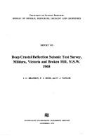

Search results from Open Library.
Recent natural events nearby
Ground air-quality sensors
Recently spotted species
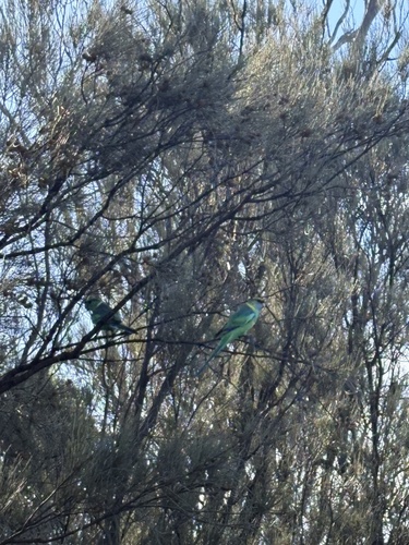
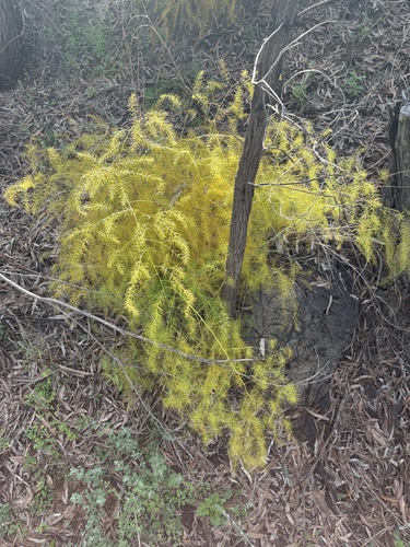
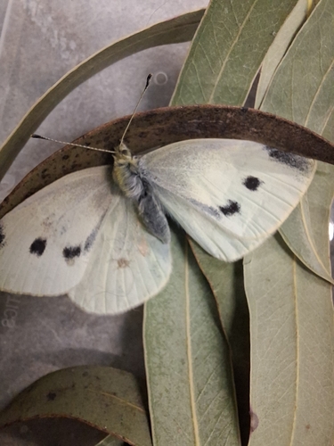
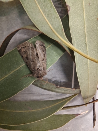
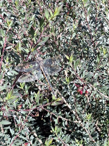
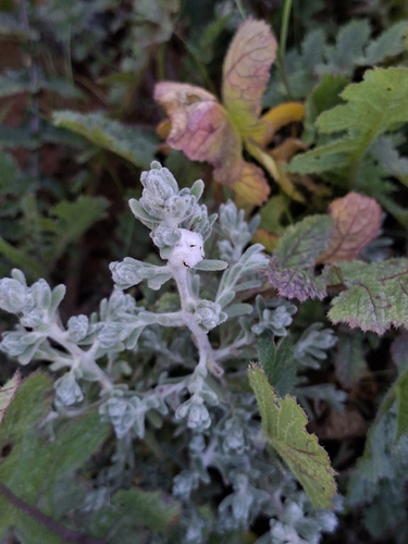
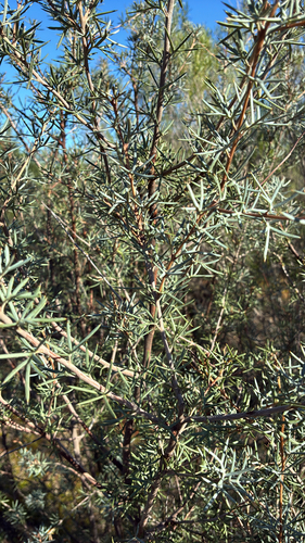
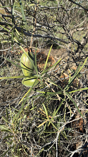
Research-grade observations from iNaturalist (within ~15 mi).
Events
Gallery
Geotagged photos within ~6 miles of Mildura, from Wikimedia Commons contributors.
 0.4 mi
 0.5 mi
 0.5 mi
 0.5 mi
.jpg) 0.8 mi
0.8 mi 0.8 mi
 0.8 mi
 0.8 mi
 0.8 mi
 0.8 mi
 0.8 mi
 0.8 mi
 0.8 mi
 0.8 mi
 0.8 mi
 0.8 mi
 0.8 mi
 0.8 mi
 0.8 mi
 0.8 mi
 0.8 mi
 0.8 mi
 0.8 mi
 0.8 mi
Photos via Wikimedia Commons — see each image page for license & attribution.
Sources
- • Wikipedia
- • Open-Meteo (ERA5 reanalysis)
- • Wikimedia Commons
- • Wikidata
- • USGS Earthquake Catalog (global feed)
- • GBIF (Global Biodiversity Information Facility)
- • iNaturalist
- • Open-Meteo / sunrise-sunset.org
- • Wikipedia Pageviews API
- • Open Library