Browse / Australia / Queensland / Mirani
Mirani
Queenslandtown

Mirani
Air quality index
Demographic figures from Australian Bureau of Statistics. Overview below cites Wikipedia and may reference a different year.
City facts
Overview
Mirani is a rural town and locality in the Mackay Region, Queensland, Australia. In the 2021 census, the locality of Mirani had a population of 1,806 people.
Read more on WikipediaHistory & geography
History
Yuwibara (also known as Yuibera, Yuri, Juipera, Yuwiburra) is an Australian Aboriginal language spoken on Yuwibara country. It is closely related to the Biri languages/dialects. The Yuwibara language region includes the landscape within the local government boundaries of the Mackay Region. The Pioneer Valley railway line coming west from Mackay to Mirani (then known as Hamilton) was built in 1885. Later the name was changed to Mirani to avoid confusion with Hamilton in Brisbane. The line had the following stations servicing the locality (from west to east): * Yeolands railway station () * Mirani West railway station () The receiving office called Hamilton had provided limited postal services to the community, and in 1885 the name Hamilton was changed to Hopeton. Mirani Post Office replaced the Receiving office in April 1890. Mirani Provisional School opened on 18 January 1892, becoming Mirani State School on 11 March 1897. In 1961, the school added a secondary department, which operated until a separate secondary school was opened in 1967. The school was located at Augusta Street on the site of the current secondary school. On Sunday 10 December 1899, Bishop Joseph Higgins, accompanied by 500 other people, travelled by special train to Mirani, where Higgins laid the foundation stone for a new Catholic church in Mirani. The new convent was opened on Sunday 6 April 1924. A new church opened on Sunday 5 June 1927. On Sunday 15 March 1908, Reverend T. Hely-Wilson laid the foundation stone for an Anglican church. The church opened on Sunday 20 September 1908, when it was dedicated to the Good Shepherd. In August 1951, Bishop Wilfred Belcher opened a new Good Shepherd Anglican Church. On Sunday 12 July 1908, a Presbyterian church opened in Mirani. The church was…
Geography
The locality of Mirani is predominantly flat land used for sugar cane farming. It is bounded to the south by Lake Kinchant, the impoudment created by the Kinchant Dam. The Pioneer River passes through the locality from west to north and forms part of the northern boundary. The Mackay–Eungella Road passes from east to north-west through the locality. There are a network of private tramways through Mirani to transport the sugar cane to the Mackay Sugar mills. The town of Mirani is situated centrally within the locality on the eastern bank of the Pioneer River with Mackay-Eungella Road passing through it.
Excerpted from the corresponding Wikipedia article (CC BY-SA).
Geography
Coordinates & boundaries from the US Census TIGER/Line shapefiles.
Climate
10-year averages from ERA5 reanalysis (Open-Meteo).
Air quality
Current readings from Open-Meteo Air Quality API (Copernicus CAMS European reanalysis).
Walkability
Amenities nearby
Wildlife & biodiversity
Most-observed species
- Masked LapwingVanellus miles (Boddaert, 1783) · Aves408
- Magpie-larkGrallina cyanoleuca (Latham, 1802) · Aves342
- Torresian CrowCorvus orru Bonaparte, 1850 · Aves326
- Black KiteMilvus migrans (Boddaert, 1783) · Aves324
- Rainbow LorikeetTrichoglossus haematodus (Linnaeus, 1771) · Aves307
- Willie-wagtailRhipidura leucophrys (Latham, 1802) · Aves297
- Australian MagpieGymnorhina tibicen (Latham, 1802) · Aves291
- Peaceful DoveGeopelia placida Gould, 1844 · Aves267
Citizen-science & research observations from the Global Biodiversity Information Facility (GBIF).
Earthquake history
Events from the USGS Earthquake Catalog (global) (FDSN Event Web Service).
Photos
Sights & places nearby
Notable people from here
Nearby places in Queensland
Geography & sun
Elevation, sunrise/sunset and daylight from Open-Meteo. Solar climatology from NASA POWER.
Nearby airports
Public attention
Pageview totals from the Wikimedia Pageviews API.
Books about this place
Recent natural events nearby
Ground air-quality sensors
Recently spotted species
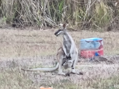
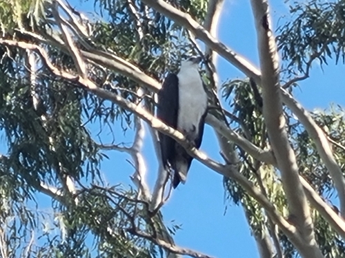
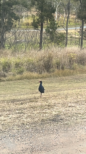
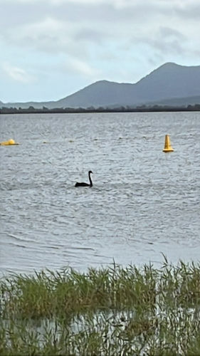
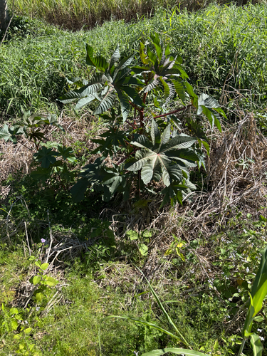
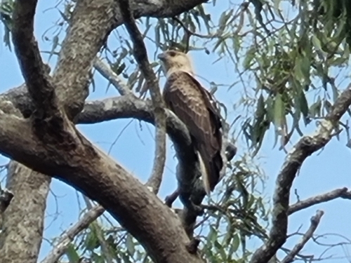
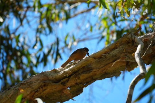
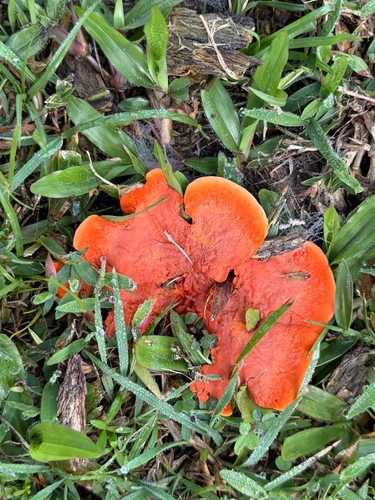
Research-grade observations from iNaturalist (within ~15 mi).
Events
Gallery
Geotagged photos within ~6 miles of Mirani, from Wikimedia Commons contributors.
.jpg)


.jpg)

.jpg)
Photos via Wikimedia Commons — see each image page for license & attribution.
Sources
- • Wikipedia
- • Open-Meteo (ERA5 reanalysis)
- • Wikimedia Commons
- • Wikidata
- • Open-Meteo Air Quality (CAMS)
- • USGS Earthquake Catalog (global feed)
- • GBIF (Global Biodiversity Information Facility)
- • iNaturalist
- • Open-Meteo / sunrise-sunset.org
- • Wikipedia Pageviews API