Browse / Australia / South Australia / Mount Gambier
Mount Gambier
South Australiacity

Mount Gambier
Founded
1854
Air quality index
Demographic figures from Australian Bureau of Statistics. Overview below cites Wikipedia and may reference a different year.
City facts
Facts from Wikidata (CC0).
Overview
Mount Gambier is the second most populated city in South Australia, with a population of 26,878 as of the 2021 census. The city is located on the slopes of Mount Gambier, a dormant volcano in the south east of the state, about 450 kilometres (280 mi) south-east of the capital Adelaide and just 17 kilometres (11 mi) from the Victorian border. Mount Gambier is the most important settlement in the Limestone Coast region and the seat of government for both the City of Mount Gambier and the District Council of Grant.
Read more on WikipediaHistory & geography
History
Before British colonisation of South Australia, the Bungandidj (or Buandik/Boandik) people were the original Aboriginal inhabitants of the area. They referred to the peak of the volcanic mountain as 'ereng balam' or 'egree belum', meaning 'home of the eagle hawk', but the mountain itself was called Berrin. A sinkhole in the township was referred to as "thu-ghee". The peak of the dormant Mount Gambier crater was sighted in 1800 by Lieutenant James Grant from the survey brig, HMS Lady Nelson, and named after Lord James Gambier, Admiral of the Fleet. It was the first place named by the British in what was later to become the colony of South Australia. The peak is marked by Centenary Tower, built in 1901 to commemorate the first sighting by colonists. In 1839, Stephen Henty, one of the Henty brothers who occupied large landholdings at Portland and Merino, led an overland expedition to explore the Mount Gambier region. He was the first white man to climb the peak and view the blue crater lake. The Henty brothers subsequently laid claim to Mount Gambier in 1842 and established a sheep station there. Conflict with the local Aboriginal residents quickly ensued that same year with Henty's men shooting a number and burning their corpses. In March 1844, a band of Aboriginal people led by Koort Kirrup took a large number of Henty's sheep. Henty's men pursued and engaged them in a prolonged skirmish which resulted in the colonists having to retreat. Other British pastoralists and their shepherds in the region were being robbed, speared and murdered by the local Aboriginal population and they proposed to form hunting parties to shoot them indiscriminately. After the Aboriginal population destroyed between 200 and 300 sheep, the Henty brothers were forced to abandon the Mount…
Geography
Mount Gambier's urban area is located mainly along the northern slopes and plain of a maar volcano of the same name, Mount Gambier. Comprising several craters, it is part of the Newer Volcanics Province complex of volcanoes. One of these contains a huge lake of high-quality artesian drinking water which changes colour with the seasons. In winter, it is a steel grey and then changes to a spectacular cobalt blue in the summer, giving rise to its name, Blue Lake. This deep lake accommodates a range of unusual aquatic flora and fauna, in particular fields of large stromatolites. There are several other craters in the city including Valley Lake and the Leg of Mutton River. The region surrounding the city includes other volcanic features such as Mount Schank, along with many karst features such as water-filled caves, cenotès and sinkholes. Mount Gambier's urban area encompasses the City of Mount Gambier and parts of the District Council of Grant. The city's metropolitan area includes the following suburbs: Mount Gambier CBD (inner-city suburb), Suttontown (north-western suburb), Wandilo (north-western suburb), Mil-Lel (northern suburb), Worrolong (north-eastern suburb), Glenburnie (eastern suburb), Yahl (south-eastern suburb), Compton (western suburb), Moorak (southern suburb), Square Mile (south-eastern suburb), and OB Flat (south-eastern suburb). Mount Gambier has a temperate mediterranean climate (Csb), having mild to warm, dry summers with very cool mornings; mild springs and autumns with moderate rainfall; and cool winters with high rainfall. August is the wettest month, with an average of 100.4 mm falling on 21 days; and February normally records the lowest rainfall, with an average of 25.7 mm on 7 days. The highest temperature recorded in Mount Gambier…
Excerpted from the corresponding Wikipedia article (CC BY-SA).
Geography
Coordinates & boundaries from the US Census TIGER/Line shapefiles.
Climate
10-year averages from ERA5 reanalysis (Open-Meteo).
Air quality
Current readings from Open-Meteo Air Quality API (Copernicus CAMS European reanalysis).
Walkability
Amenities nearby
Wildlife & biodiversity
Most-observed species
- Australian MagpieGymnorhina tibicen (Latham, 1802) · Aves735
- Superb FairywrenMalurus cyaneus (Ellis, 1782) · Aves665
- Gray FantailRhipidura albiscapa Gould, 1840 · Aves575
- New Holland HoneyeaterPhylidonyris novaehollandiae (Latham, 1790) · Aves535
- Crimson RosellaPlatycercus elegans (Gmelin, 1788) · Aves505
- Eurasian BlackbirdTurdus merula Linnaeus, 1758 · Aves495
- Red WattlebirdAnthochaera carunculata (Shaw, 1790) · Aves485
- White-browed ScrubwrenSericornis frontalis (Vigors & Horsfield, 1827) · Aves465
Citizen-science & research observations from the Global Biodiversity Information Facility (GBIF).
Earthquake history
Most recent
- M 2.8 — 2006-04-1950 km SW of Millicent, Australia
- M 3.6 — 2002-01-0544 km S of Moorak, Australia
Events from the USGS Earthquake Catalog (global) (FDSN Event Web Service).
Photos
Sights & places nearby
Notable people from here


People born within ~10 km, from Wikidata (CC0). Click any name for their Wikipedia article.
Nearby places in South Australia
- Yahl4.3 mi away
- Glencoe13.6 mi away
- Port MacDonnell16.1 mi away · pop. 660
- Blackfellows Caves19.1 mi away · pop. 63
- Mount Burr26.6 mi away · pop. 324
- Coonawarra37.2 mi away · pop. 25
- Beachport48.5 mi away · pop. 530
- Hynam61.6 mi away
- Policeman Point138.9 mi away
- Tintinara140.3 mi away · pop. 277
- Coonalpyn155.9 mi away · pop. 193
- Pinnaroo177.7 mi away · pop. 575
Geography & sun
Elevation, sunrise/sunset and daylight from Open-Meteo. Solar climatology from NASA POWER.
Nearby airports
Public attention
Pageview totals from the Wikimedia Pageviews API.
Books about Mount Gambier

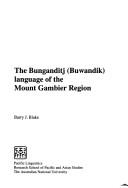
Search results from Open Library.
Recent natural events nearby
Ground air-quality sensors
Recently spotted species
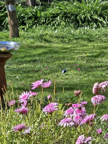
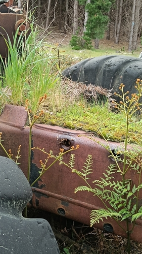
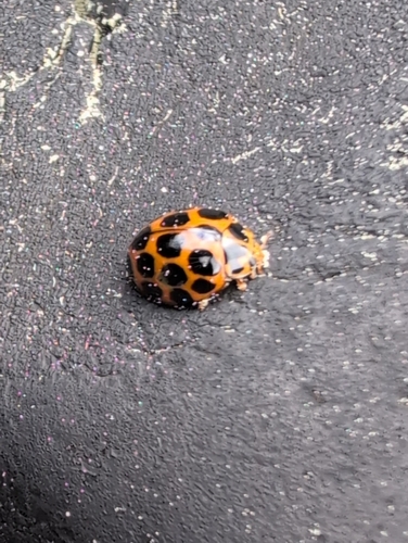
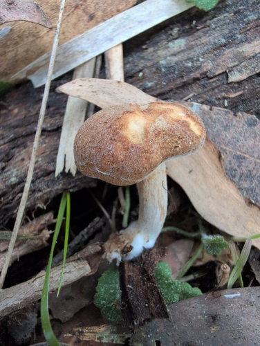
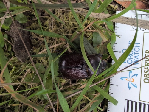
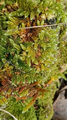
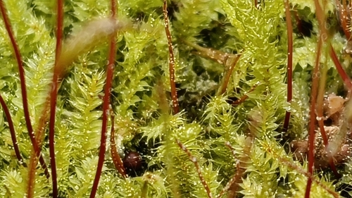
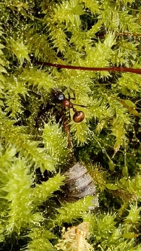
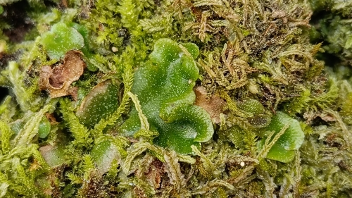
Research-grade observations from iNaturalist (within ~15 mi).
Events
Gallery
Geotagged photos within ~6 miles of Mount Gambier, from Wikimedia Commons contributors.
.jpg) 0.1 mi
0.1 mi 0.1 mi
.jpg) 0.1 mi
0.1 mi.jpg) 0.3 mi
0.3 mi.jpg) 1 mi
1 mi.jpg) 1 mi
1 mi,_Blue_Lake_--_2019_--_0697-704.jpg) 1.1 mi
1.1 mi,_Blue_Lake_--_2019_--_0706.jpg) 1.1 mi
1.1 mi,_Blue_Lake_--_2019_--_0707.jpg) 1.1 mi
1.1 mi,_Blue_Lake_--_2019_--_0708.jpg) 1.1 mi
1.1 mi,_Blue_Lake_--_2019_--_090524.jpg) 1.1 mi
1.1 mi.jpg) 1.1 mi
1.1 mi 1.1 mi
 1.1 mi
 1.1 mi
 1.1 mi
 1.1 mi
.jpg) 1.2 mi
1.2 mi 1.2 mi
 1.2 mi
 1.2 mi
 1.2 mi
_Blue_Lake,_Mount_Gambier_2025-12-11_-_1.jpg) 1.2 mi
1.2 mi 1.3 mi
Photos via Wikimedia Commons — see each image page for license & attribution.
Sources
- • Wikipedia
- • Open-Meteo (ERA5 reanalysis)
- • Wikimedia Commons
- • Wikidata
- • Open-Meteo Air Quality (CAMS)
- • USGS Earthquake Catalog (global feed)
- • GBIF (Global Biodiversity Information Facility)
- • iNaturalist
- • Open-Meteo / sunrise-sunset.org
- • Wikipedia Pageviews API
- • Open Library