Browse / Australia / South Australia / Port MacDonnell
Port MacDonnell
South Australiatown
Total population
660
Air quality index
Demographic figures from Australian Bureau of Statistics. Overview below cites Wikipedia and may reference a different year.
City facts
Facts from Wikidata (CC0).
Overview
Port MacDonnell, originally known as Ngaranga, is the southernmost town in South Australia. The small port is located in the Limestone Coast region, about 477 kilometres (296 mi) south-east of Adelaide and 28 kilometres (17 mi) south of Mount Gambier, in the District Council of Grant local government area. Once a busy shipping port, the town now relies heavily on its fishing and summer tourism industries, particularly the rock lobster industry, proclaiming itself "Australia's Southern Rock Lobster Capital".
Read more on WikipediaHistory & geography
History
The original inhabitants of the area are by the Bungandidj Aboriginal people, who refer to it as Ngaranga, possibly meaning "noisy" or "caves". In 1860, the area was proclaimed an official port, given a name, and surveyed. It is named after Sir Richard Graves MacDonnell who was Governor of South Australia from 1855 to 1862. In the 1880s, it was one of Australia's busiest ports, shipping large quantities of wheat and wool to Europe. The port was, however, exposed to the weather and the site of many shipwrecks. Across the border in Portland, Victoria, 85 km southeast, is a much more sheltered port. The following have been listed as state heritage places on the South Australian Heritage Register: the Cape Northumberland Lighthouse, the Dingley Dell Museum and the Former Port MacDonnell customs house.
Geography
The town of Port MacDonnell is set on flat swampy land in a bay between rocky capes of spectacular wave eroded formations the most spectacular being those to the near west at Cape Northumberland. The harbour is formed by a large artificially constructed rock breakwater, while the coastline consists of sandy beaches, with rock outcrops providing shelter to the port from the rough seas. The rocks provides substantial habitat for the southern rock lobster, the fishing and processing of which is the town's main industry and colonies of little penguin.
Excerpted from the corresponding Wikipedia article (CC BY-SA).
Geography
Coordinates & boundaries from the US Census TIGER/Line shapefiles.
Climate
10-year averages from ERA5 reanalysis (Open-Meteo).
Air quality
Current readings from Open-Meteo Air Quality API (Copernicus CAMS European reanalysis).
Walkability
Amenities nearby
Wildlife & biodiversity
Most-observed species
- Black SwanCygnus atratus (Latham, 1790) · Aves3,300
- Western SwamphenPorphyrio porphyrio (Linnaeus, 1758) · Aves1,546
- Silver GullChroicocephalus novaehollandiae (Stephens, 1826) · Aves672
- Australian MagpieGymnorhina tibicen (Latham, 1802) · Aves658
- Superb FairywrenMalurus cyaneus (Ellis, 1782) · Aves543
- Masked LapwingVanellus miles (Boddaert, 1783) · Aves536
- Dusky MoorhenGallinula tenebrosa Gould, 1846 · Aves512
- European StarlingSturnus vulgaris Linnaeus, 1758 · Aves509
Citizen-science & research observations from the Global Biodiversity Information Facility (GBIF).
Earthquake history
Most recent
- M 4.4 — 2022-12-2790 km SW of Millicent, Australia
- M 2.8 — 2006-04-1950 km SW of Millicent, Australia
- M 3.6 — 2002-01-0544 km S of Moorak, Australia
Events from the USGS Earthquake Catalog (global) (FDSN Event Web Service).
Photos
Sights & places nearby
Notable people from here


People born within ~10 km, from Wikidata (CC0). Click any name for their Wikipedia article.
Nearby places in South Australia
- Yahl14 mi away
- Blackfellows Caves14.7 mi away · pop. 63
- Mount Gambier16.1 mi away
- Glencoe25.7 mi away
- Mount Burr37.7 mi away · pop. 324
- Coonawarra53.1 mi away · pop. 25
- Beachport54.5 mi away · pop. 530
- Hynam77.4 mi away
- Policeman Point150.7 mi away
- Tintinara154 mi away · pop. 277
- Coonalpyn169.2 mi away · pop. 193
- Buccleuch193.3 mi away
Geography & sun
Elevation, sunrise/sunset and daylight from Open-Meteo. Solar climatology from NASA POWER.
Nearby airports
Public attention
Pageview totals from the Wikimedia Pageviews API.
Books about Port MacDonnell
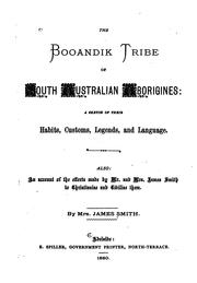
Search results from Open Library.
Recent natural events nearby
Ground air-quality sensors
Recently spotted species
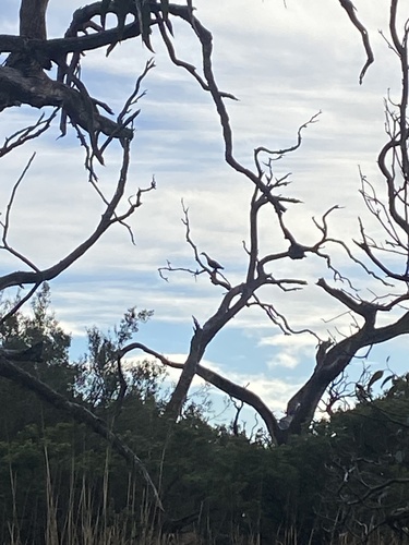
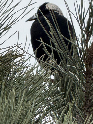
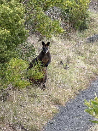
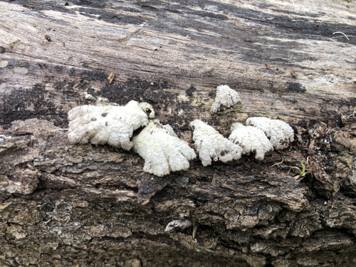
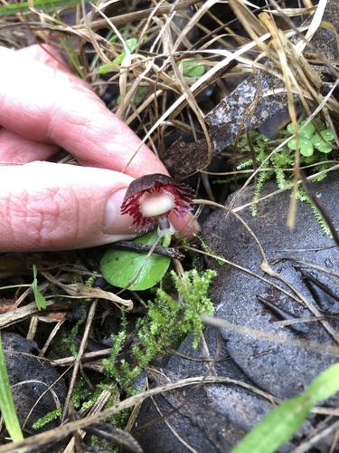
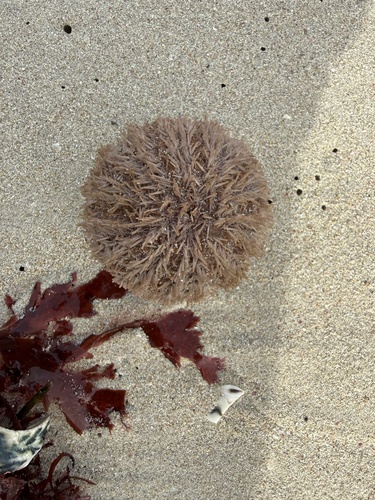
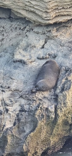
Research-grade observations from iNaturalist (within ~15 mi).
Events
Gallery
Geotagged photos within ~6 miles of Port MacDonnell, from Wikimedia Commons contributors.


Photos via Wikimedia Commons — see each image page for license & attribution.
Sources
- • Wikipedia
- • Open-Meteo (ERA5 reanalysis)
- • Wikimedia Commons
- • Wikidata
- • Open-Meteo Air Quality (CAMS)
- • USGS Earthquake Catalog (global feed)
- • GBIF (Global Biodiversity Information Facility)
- • iNaturalist
- • Open-Meteo / sunrise-sunset.org
- • Wikipedia Pageviews API
- • Open Library