Browse / Australia / Northern Territory / Mount Wells
Mount Wells
Northern Territoryhamlet
Demographic figures from Australian Bureau of Statistics. Overview below cites Wikipedia and may reference a different year.
City facts
Overview
Within Northern Territory, Australia, Mount Wells stands as a hamlet. Geographically it lies in the southern hemisphere at a tropical latitude (-13.505°, 131.720°). No reliable population estimate is published for this entry in the open data we rely on. The location receives about 2,195 kWh/m² of solar irradiance per year and sunshine for roughly 86% of daylight hours. Climatically, locations at this latitude tend to experience warm temperatures throughout the year with pronounced wet and dry seasons. Meteorological summaries report average highs near 92.2°F and lows near 71.8°F, together with about 53 in of annual precipitation (a wet total). The sections below expand on demographics, weather, terrain, hazards and nearby points of interest using publicly available datasets.
Summary composed automatically from structured open data on this page. See our Terms for details.
History & geography
Geography
Coordinates & boundaries from the US Census TIGER/Line shapefiles.
Climate
10-year averages from ERA5 reanalysis (Open-Meteo).
Air quality
Walkability
Amenities nearby
Wildlife & biodiversity
Most-observed species
- BluestemAndropogon gayanus Kunth · Liliopsida107
- Kangaroo grass, Grader grass, Habana grass, Habana oatgrassThemeda quadrivalvis (L.) Kuntze · Liliopsida73
- black-beanErythrophleum chlorostachys (F.Muell.) Baill. · Magnoliopsida40
- red grassThemeda triandra Forssk. · Liliopsida37
- Green PlumBuchanania obovata Engl. · Magnoliopsida37
- darwin stringybarkEucalyptus tetrodonta F.Muell. · Magnoliopsida31
- cockatoo-applePlanchonia careya (F.Muell.) R.Knuth · Magnoliopsida26
- Broad-leaved BloodwoodCorymbia foelscheana (F.Muell.) K.D.Hill & L.A.S.Johnson · Magnoliopsida26
Citizen-science & research observations from the Global Biodiversity Information Facility (GBIF).
Earthquake history
Events from the USGS Earthquake Catalog (global) (FDSN Event Web Service).
Photos
Sights & places nearby
Notable people from here
Nearby places in Northern Territory
- Kybrook25.7 mi away · pop. 74
- Amangal45.2 mi away
- Daly River71.3 mi away · pop. 350
- Noonamah74.2 mi away · pop. 483
- Deaf Adder81.3 mi away
- Nourlangie81.6 mi away
- Djarrung91.2 mi away
- Barunga104.2 mi away · pop. 337
- Channel Point Community109.8 mi away
- Gunbalanya121.3 mi away · pop. 1,153
- Menngen131.4 mi away
- Pickertaramoor132.7 mi away
Geography & sun
Elevation, sunrise/sunset and daylight from Open-Meteo. Solar climatology from NASA POWER.
Nearby airports
Public attention
Books about Mount Wells




Search results from Open Library.
Recent natural events nearby
Ground air-quality sensors
Recently spotted species
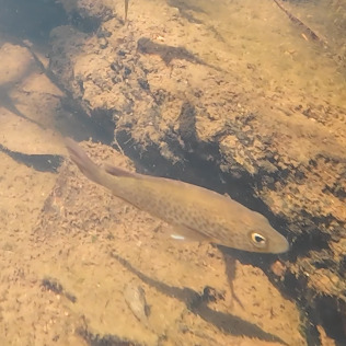
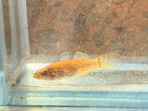
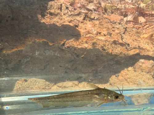
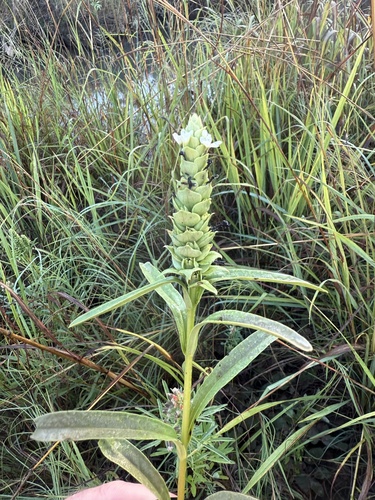
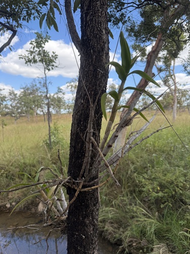
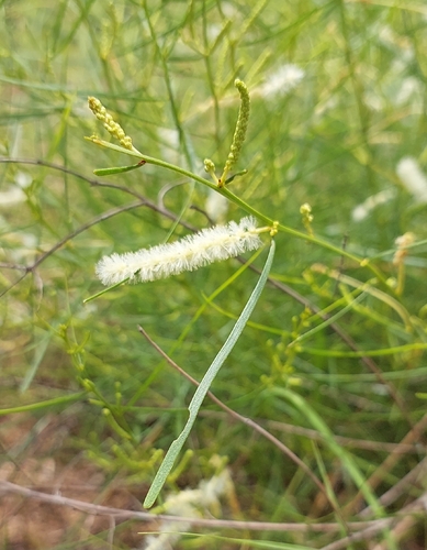
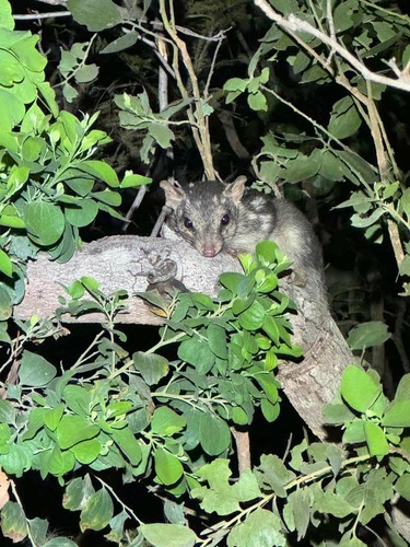
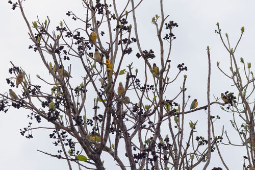
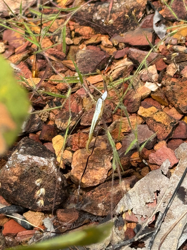
Research-grade observations from iNaturalist (within ~15 mi).
Events
Gallery
Geotagged photos within ~6 miles of Mount Wells, from Wikimedia Commons contributors.

Photos via Wikimedia Commons — see each image page for license & attribution.
Official Identifiers
ABS — Australian Bureau of Statistics
- ASGS 2021
- SAL51038
- Population (Wikidata)
- 0
- Wikidata
- Q6924545
ASGS 2021 ID via Wikidata P10112
Sources
- • Open-Meteo (ERA5 reanalysis)
- • Wikimedia Commons
- • Wikidata
- • USGS Earthquake Catalog (global feed)
- • GBIF (Global Biodiversity Information Facility)
- • iNaturalist
- • Open-Meteo / sunrise-sunset.org
- • Open Library
- • ABS — Australian Bureau of Statistics — ASGS 2021 ID via Wikidata P10112