Browse / Australia / Northern Territory / Mutitjulu
Mutitjulu
Northern Territoryvillage

Mutitjulu
Total population
296
Air quality index
Demographic figures from Australian Bureau of Statistics. Overview below cites Wikipedia and may reference a different year.
City facts
Facts from Wikidata (CC0).
Overview
Mutitjulu is an Aboriginal Australian community in the Northern Territory of Australia located at the eastern end of Uluṟu. It is named after a knee-shaped water-filled rock hole at the base of Uluṟu, and is located in the Uluṟu-Kata Tjuṯa National Park. Its people are traditional owners and joint managers of the park with Parks Australia. At the 2011 census, Mutitjulu had a population of 296, of which 218 (71.2%) were Aboriginal.
Read more on WikipediaHistory & geography
Geography
Coordinates & boundaries from the US Census TIGER/Line shapefiles.
Climate
Air quality
Current readings from Open-Meteo Air Quality API (Copernicus CAMS European reanalysis).
Walkability
Amenities nearby
Wildlife & biodiversity
Most-observed species
- Crested PigeonOcyphaps lophotes (Temminck, 1822) · Aves865
- Zebra FinchTaeniopygia guttata (Vieillot, 1817) · Aves759
- White-plumed HoneyeaterPtilotula penicillata (Gould, 1837) · Aves744
- Willie-wagtailRhipidura leucophrys (Latham, 1802) · Aves681
- Yellow-throated MinerManorina flavigula (Gould, 1840) · Aves669
- Singing HoneyeaterGavicalis virescens (Vieillot, 1817) · Aves663
- Spiny-cheeked HoneyeaterAcanthagenys rufogularis Gould, 1838 · Aves460
- Black-faced WoodswallowArtamus cinereus Vieillot, 1817 · Aves398
Citizen-science & research observations from the Global Biodiversity Information Facility (GBIF).
Earthquake history
Most recent
- M 4.5 — 2026-05-0584 km SSW of Yulara, Australia
- M 4.4 — 2026-04-0889 km SSW of Yulara, Australia
- M 4.4 — 2026-04-0592 km SSW of Yulara, Australia
- M 4.4 — 2026-04-0481 km SSW of Yulara, Australia
- M 5.5 — 2026-04-0482 km SSW of Yulara, Australia
- M 4.8 — 2006-04-0183 km S of Yulara, Australia
Events from the USGS Earthquake Catalog (global) (FDSN Event Web Service).
Photos
Sights & places nearby
Notable people from here
Nearby places in Northern Territory
Geography & sun
Elevation, sunrise/sunset and daylight from Open-Meteo. Solar climatology from NASA POWER.
Nearby airports
Public attention
Pageview totals from the Wikimedia Pageviews API.
Books about Mutitjulu

Search results from Open Library.
Recent natural events nearby
Ground air-quality sensors
Recently spotted species
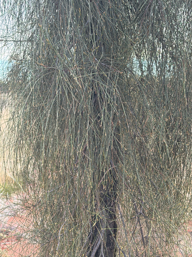
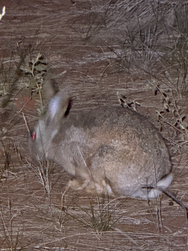
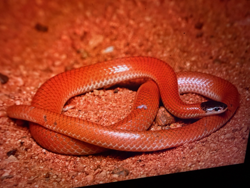
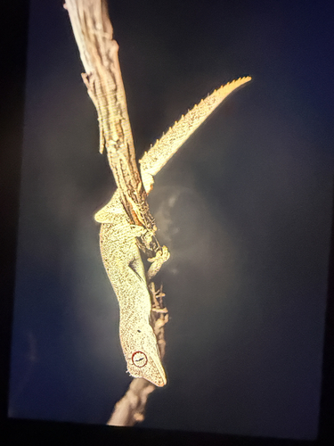
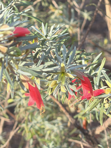
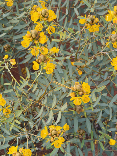
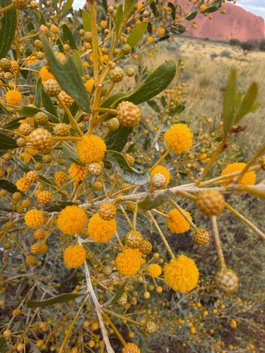
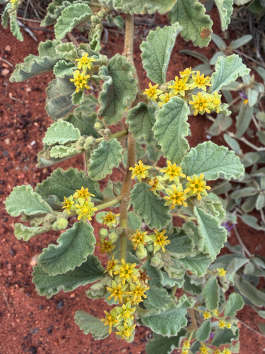
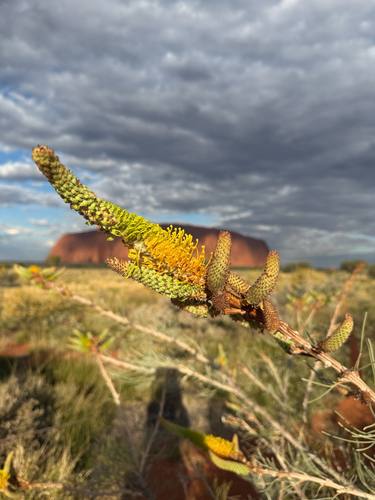
Research-grade observations from iNaturalist (within ~15 mi).
Events
Gallery
Sources
- • Wikipedia
- • Wikidata
- • Open-Meteo Air Quality (CAMS)
- • USGS Earthquake Catalog (global feed)
- • GBIF (Global Biodiversity Information Facility)
- • iNaturalist
- • Open-Meteo / sunrise-sunset.org
- • Wikipedia Pageviews API
- • Open Library