Browse / Australia / New South Wales / Newbridge
Newbridge
New South Walesvillage
Total population
223
Demographic figures from Australian Bureau of Statistics. Overview below cites Wikipedia and may reference a different year.
City facts
Overview
Newbridge is a village of about 100 residents in New South Wales, Australia in Blayney Shire. It is approximately 30 km from Bathurst and 15 km from Blayney in the Central Tablelands of NSW. At the 2021 census, Newbridge had a population of 223 people.
Read more on WikipediaHistory & geography
History
Newbridge village developed around the railway line and station which was built in 1876. The station was called Back Creek, however, the post office which opened two months later in the same year was called Duramana. To avoid confusion with Duramana on the other side of Bathurst and due to either the large number of Irish settlers in the area reflecting upon Newbridge in Ireland or as the result of the opening of a pedestrian overhead bridge built at the station in the 1870s, the station, post office and village were called Newbridge. During the 1880s, gold and iron was mined in the area. The current village survives in relation to the farming community still present in the area. Buildings in the area that still stand from yesteryear include the Gladstone Hotel (early 1870s), the public school (1877), the original bakehouse (1884), the police station (1890s), the convent (1890), the new post office (1904) and the Catholic Church (1919). On 5 May 2010, a fatal accident occurred 5 km from Newbridge Railway station, involving the Daily XPT and an excavator.
Excerpted from the corresponding Wikipedia article (CC BY-SA).
Geography
Coordinates & boundaries from the US Census TIGER/Line shapefiles.
Climate
Air quality
Walkability
Amenities nearby
Wildlife & biodiversity
Most-observed species
- BlackberryRubus fruticosus L. · Magnoliopsida662
- Australian MagpieGymnorhina tibicen (Latham, 1802) · Aves645
- Superb FairywrenMalurus cyaneus (Ellis, 1782) · Aves478
- GalahEolophus roseicapilla (Vieillot, 1817) · Aves463
- Crimson RosellaPlatycercus elegans (Gmelin, 1788) · Aves434
- koalaPhascolarctos cinereus (Goldfuss, 1817) · Mammalia428
- Serrated Tussock GrassNassella trichotoma (Nees) Hack. & Arechav. · Liliopsida393
- Magpie-larkGrallina cyanoleuca (Latham, 1802) · Aves330
Citizen-science & research observations from the Global Biodiversity Information Facility (GBIF).
Earthquake history
Most recent
- M 4.5 — 2026-04-1424 km ENE of Canowindra, Australia
- M 4.4 — 2026-03-1117 km ENE of Boorowa, Australia
- M 3 — 2020-11-2027 km S of Oberon, Australia
- M 4.2 — 2017-04-1323 km WSW of Millthorpe, Australia
- M 3.8 — 2012-06-2223 km N of Boorowa, Australia
- M 3 — 2007-08-2224 km W of Oakdale, Australia
Events from the USGS Earthquake Catalog (global) (FDSN Event Web Service).
Photos
Sights & places nearby
Notable people from here
Nearby places in New South Wales
- Barry7.2 mi away · pop. 166
- Brownlea8.7 mi away
- Dunns Plains10.9 mi away
- The Rocks11.3 mi away · pop. 774
- Rockley13.4 mi away · pop. 180
- Millthorpe14.3 mi away · pop. 750
- Charlton15.9 mi away
- White Rock16.1 mi away
- Gilmandyke16.3 mi away
- Macquarie Vale17.2 mi away
- Swallows Nest19 mi away
- Mount Rankin19 mi away
Geography & sun
Elevation, sunrise/sunset and daylight from Open-Meteo. Solar climatology from NASA POWER.
Nearby airports
Public attention
Pageview totals from the Wikimedia Pageviews API.
Books about this place
Recent natural events nearby
Ground air-quality sensors
Recently spotted species
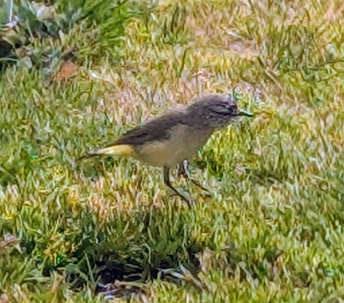
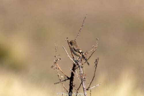
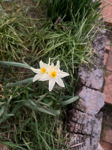
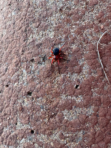
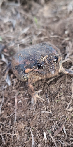
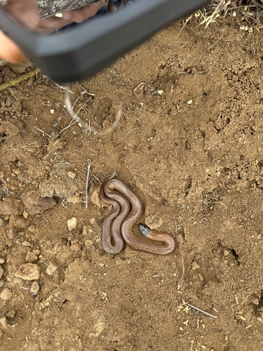
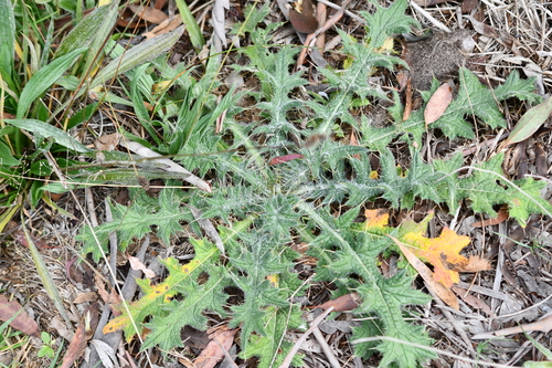
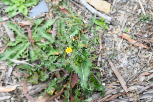
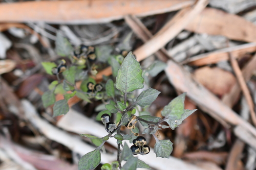
Research-grade observations from iNaturalist (within ~15 mi).
Events
Gallery
Sources
- • Wikipedia
- • Wikidata
- • USGS Earthquake Catalog (global feed)
- • GBIF (Global Biodiversity Information Facility)
- • iNaturalist
- • Open-Meteo / sunrise-sunset.org
- • Wikipedia Pageviews API