Browse / Australia / Northern Territory / Nhulunbuy
Nhulunbuy
Northern Territorytown
Total population
3,267
Demographic figures from Australian Bureau of Statistics. Overview below cites Wikipedia and may reference a different year.
City facts
Facts from Wikidata (CC0).
Overview
Nhulunbuy, also formerly known as Gove, is a town and locality in the far north of the Northern Territory of Australia. Founded on the Gove Peninsula in north-east Arnhem Land when a bauxite mine and deep water port were established in the late 1960s, the town's economy largely revolved around its alumina refinery until it closed in May 2014. The town is a private mining town residing on Aboriginal-owned land.
Read more on WikipediaHistory & geography
History
This area in Northeast Arnhem Land has been home to various Yolŋu clans of Aboriginal people for at least 40,000 years. Matthew Flinders, in his circumnavigation of Australia in 1803, met the Macassan trading fleet near present-day Nhulunbuy, an encounter that led to the establishment of settlements on Melville Island and the Cobourg Peninsula. A beach close to the township is named Macassan Beach in commemoration of this encounter. Flinders also named the highest rise on the low-lying escarpment, a flat-topped hill rising to , Mount Saunders. This hill was a sacred site for the Rirratjingu clan of Yolŋu people, who already had a name for it – Nhulun. The site had been assigned to Wandjuk Marika by his father, the respected elder Mawalan Marika. Flinders named it Mt Saunders after Robert Dundas, 2nd Viscount Melville. Flinders also gave names to various other nearby features after the same man, including Mount Dundas, Melville Isle (renamed Bremer Island in 1934), and Melville Bay (which now includes Gove Harbour). Exploration of bauxite reserves in the area began in 1955. a French-owned company known as GOMINCO. The Yolŋu people at Yirrkala were upset at not having been consulted about the excising of their land, and forwarded two petitions, known as the Yirrkala bark petitions because they were mounted on bark, to the Australian House of Representatives. in 1968 the Gove Agreement was negotiated between the Commonwealth Government and the North Australian Bauxite and Alumina Company (Nabalco), which gave Nabalco the rights to establish the mine and refinery. In 1969, Nabalco assigned its interests in the agreement to the Gove Joint Venture Participants (Swiss Aluminium and Gove Aluminium Ltd.), and the government granted a Special Mineral Lease (SML 11)…
Geography
The hill behind the town, Mount Saunders or Nhulun, has an elevation of .
Excerpted from the corresponding Wikipedia article (CC BY-SA).
Geography
Coordinates & boundaries from the US Census TIGER/Line shapefiles.
Climate
Air quality
Walkability
Amenities nearby
Wildlife & biodiversity
Most-observed species
- Bar-shouldered DoveGeopelia humeralis (Temminck, 1821) · Aves240
- Sulphur-crested CockatooCacatua galerita (Latham, 1790) · Aves200
- Masked LapwingVanellus miles (Boddaert, 1783) · Aves169
- Rainbow Bee-eaterMerops ornatus Latham, 1801 · Aves165
- Forest KingfisherTodiramphus macleayii (Jardine & Selby, 1830) · Aves164
- White-gaped HoneyeaterStomiopera unicolor (Gould, 1843) · Aves161
- Peaceful DoveGeopelia placida Gould, 1844 · Aves158
- Australian IbisThreskiornis molucca (Cuvier, 1829) · Aves156
Citizen-science & research observations from the Global Biodiversity Information Facility (GBIF).
Earthquake history
Most recent
- M 4.1 — 2019-12-2062 km ESE of Galiwinku, Australia
Events from the USGS Earthquake Catalog (global) (FDSN Event Web Service).
Photos
Sights & places nearby
Notable people from here


People born within ~10 km, from Wikidata (CC0). Click any name for their Wikipedia article.
Nearby places in Northern Territory
- Gunyangara5.4 mi away · pop. 241
- Yirrkala9.2 mi away · pop. 657
- Raymangirr53.3 mi away
- Gapuwiyak69.2 mi away · pop. 828
- Dhuruputjpi72.6 mi away
- Baniyala79.5 mi away
- Dhupuwamirri99.3 mi away
- Alyangula117.9 mi away · pop. 751
- Angurugu126.1 mi away · pop. 883
- Wulkabimirri126.8 mi away
- Ji-Malowa142.1 mi away
- Wurdeja142.8 mi away
Geography & sun
Elevation, sunrise/sunset and daylight from Open-Meteo. Solar climatology from NASA POWER.
Nearby airports
Public attention
Pageview totals from the Wikimedia Pageviews API.
Books about this place
Recent natural events nearby
Ground air-quality sensors
Recently spotted species
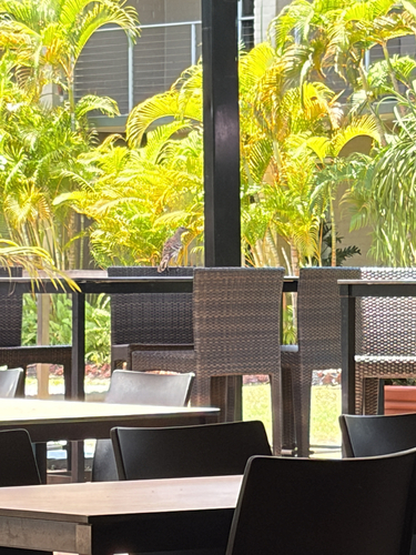
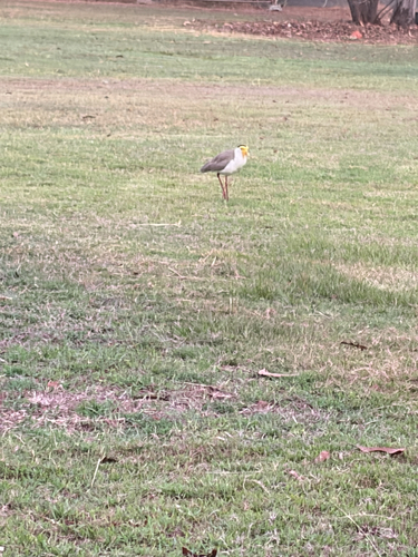
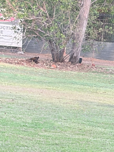
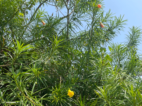
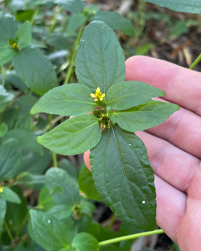
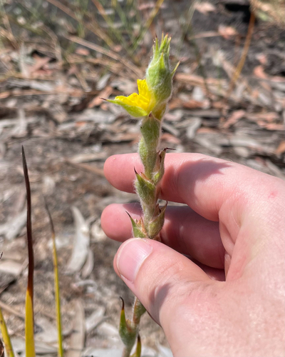
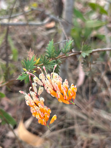
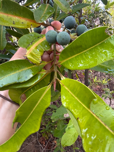
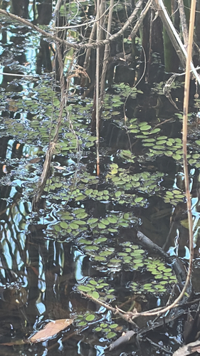
Research-grade observations from iNaturalist (within ~15 mi).
Events
Gallery
Sources
- • Wikipedia
- • Wikidata
- • USGS Earthquake Catalog (global feed)
- • GBIF (Global Biodiversity Information Facility)
- • iNaturalist
- • Open-Meteo / sunrise-sunset.org
- • Wikipedia Pageviews API