Browse / Australia / Northern Territory / Palmerston
Palmerston
Northern Territorytown

Palmerston
Air quality index
Demographic figures from Australian Bureau of Statistics. Overview below cites Wikipedia and may reference a different year.
City facts
Facts from Wikidata (CC0).
Overview
Palmerston is a planned satellite city of Darwin, the capital and largest city of Australia's Northern Territory. The city is situated approximately 20 kilometres from the Darwin central business district and 10 kilometres from Howard Springs and the surrounding rural areas. Palmerston had a population of 33,695 at the 2016 census, making it the second largest city in the Northern Territory. According to the 2021 census, the population grew to 37,247 people.
Read more on WikipediaHistory & geography
History
Palmerston was the name chosen in 1864 for the capital of the Northern Territory by the Government of South Australia, which was then responsible for its administration, in recognition of the 3rd Viscount Palmerston, who became Prime Minister of the United Kingdom of Great Britain and Ireland in 1855. The first site, as chosen by Boyle Travers Finniss at Escape Cliffs near the mouth of the Adelaide River, on the coast of Adam Bay on the western side of the Cape Hotham peninsula in 1864, was abandoned in 1867 and a second laid out by Surveyor-General George Goyder near Port Darwin in 1869. The town was officially renamed Darwin in April 1911, after responsibility for the Northern Territory passed to the Commonwealth of Australia and it was officially gazetted as the City of Darwin in 1959. The land for a new satellite city of Darwin was acquired in 1971 by the Federal Government after concerns of under-supply of residential land in Darwin. The site was selected as the land was adjacent to existing transportation corridors. The decision to proceed with the development was made in 1980 and for the third time, the name of Palmerston was selected for the new city. Planning and development was managed by the Palmerston Development Authority. Development of Palmerston began during the early 1980s. Suburbs of Palmerston were built in stages. The first suburbs built were Gray and Driver, followed by Moulden, then Woodroffe and Marlow Lagoon. The urban area continued to grow throughout the 1990s, with the new suburbs of Bakewell, Rosebery and Durack. The population growth of Palmerston continues to be the highest in the Northern Territory. The population increased by almost 8,000 people between 1991 and 2001 to a total of 21,000 people. Palmerston's population growth is…
Geography
Palmerston is located between the outer industrial areas of Darwin and the rural areas of Howard Springs, 20 kilometres (13 mi) southeast of Darwin, and is situated in the local government area of the City of Palmerston. The urban area of Palmerston extends from the Stuart Highway in the north and east and the East Arm inlet to the west and south. The City of Palmerston initially consisted of the Palmerston Town (CBD), as well as suburbs of Driver and Gray. These were followed by Moulden and Woodroffe after development in those areas commenced in 1983. Also included in the City of Palmerston are the semi-rural suburb of Marlow Lagoon, the suburb of Archer and the industrial zones of Yarrawonga and Pinelands. Further developments have occurred leading to the creation of the suburbs of Rosebery, Bakewell, Gunn, Durack and more recently Farrar, Bellamack, Johnston, Zuccoli and Mitchell. The newer suburbs are located on the south-east side of the existing city. Palmerston has a tropical savannah climate (Aw) like Darwin with distinct wet and dry seasons. The dry season runs from May to September. In the coolest months of June and July, daily temperature range is 19 to 35 °C. The wet season is associated with tropical cyclones and monsoon rains. The majority of rainfall occurs between December and March when thunderstorms are common and humidity is regularly over 80 per cent. {| class="wikitable" style="clear:both; margin:1em auto; text-align:right; font-size:smaller;" |+ align="bottom" style="padding:0; margin:0;"| Source: [http://www.bom.gov.au/climate/averages/tables/cw_014015_All.shtml Averages for Darwin Airport, 1941–2007], Bureau of Meteorology |- ! Month || Jan || Feb || Mar || Apr || May || Jun || Jul || Aug || Sep || Oct || Nov || Dec || Year |- |-…
Excerpted from the corresponding Wikipedia article (CC BY-SA).
Geography
Coordinates & boundaries from the US Census TIGER/Line shapefiles.
Climate
10-year averages from ERA5 reanalysis (Open-Meteo).
Air quality
Current readings from Open-Meteo Air Quality API (Copernicus CAMS European reanalysis).
Walkability
Amenities nearby
Wildlife & biodiversity
Most-observed species
- Bar-shouldered DoveGeopelia humeralis (Temminck, 1821) · Aves21,115
- Magpie-larkGrallina cyanoleuca (Latham, 1802) · Aves17,311
- White-gaped HoneyeaterStomiopera unicolor (Gould, 1843) · Aves16,304
- Brown HoneyeaterLichmera indistincta (Vigors & Horsfield, 1827) · Aves15,992
- Masked LapwingVanellus miles (Boddaert, 1783) · Aves15,375
- Peaceful DoveGeopelia placida Gould, 1844 · Aves14,523
- Red-collared LorikeetTrichoglossus rubritorquis Vigors & Horsfield, 1827 · Aves13,659
- Rainbow Bee-eaterMerops ornatus Latham, 1801 · Aves13,343
Citizen-science & research observations from the Global Biodiversity Information Facility (GBIF).
Earthquake history
Events from the USGS Earthquake Catalog (global) (FDSN Event Web Service).
Photos
Sights & places nearby
Notable people from here
Nearby places in Northern Territory
- Coolalinga4.9 mi away
- Bees Creek7.2 mi away · pop. 1,000
- Wagait Beach16.6 mi away · pop. 422
- Koolpinyah21.4 mi away
- Dundee Beach46.7 mi away
- Daly River90 mi away · pop. 350
- Peppimenarti130.6 mi away · pop. 185
- Wudapuli141.9 mi away · pop. 40
- Arrgamumu142.2 mi away
- Manthathpe156.6 mi away
- Armorran169.5 mi away
- Waminari170.3 mi away
Geography & sun
Elevation, sunrise/sunset and daylight from Open-Meteo. Solar climatology from NASA POWER.
Nearby airports
Public attention
Pageview totals from the Wikimedia Pageviews API.
Books about Palmerston

Search results from Open Library.
Recent natural events nearby
Ground air-quality sensors
Recently spotted species
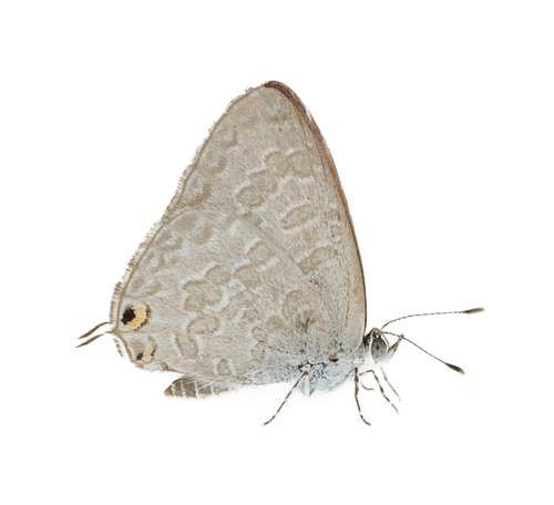
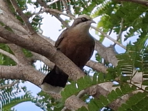
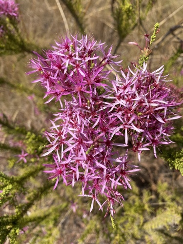
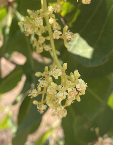
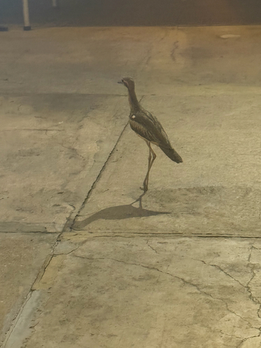
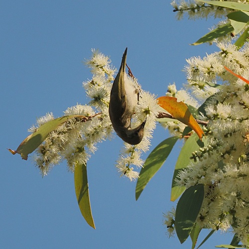
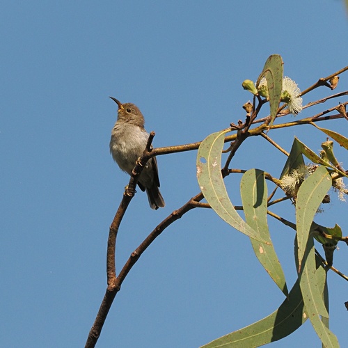
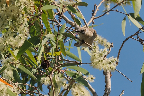
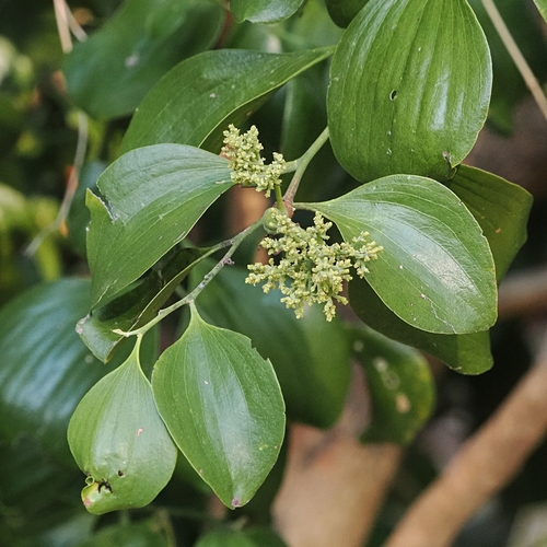
Research-grade observations from iNaturalist (within ~15 mi).
Events
Gallery
Geotagged photos within ~6 miles of Palmerston, from Wikimedia Commons contributors.
 0 mi
0 mi 0 mi
0 mi 0 mi
0 mi 0 mi
0 mi 0.1 mi
 0.1 mi
 0.1 mi
 0.1 mi
 0.1 mi
 0.1 mi
 0.1 mi
 0.1 mi
 0.1 mi
 0.1 mi
 0.1 mi
 0.1 mi
 0.1 mi
 0.1 mi
 0.1 mi
 0.2 mi
 0.2 mi
 0.2 mi
 0.2 mi
 0.2 mi
Photos via Wikimedia Commons — see each image page for license & attribution.
Sources
- • Wikipedia
- • Open-Meteo (ERA5 reanalysis)
- • Wikimedia Commons
- • Wikidata
- • Open-Meteo Air Quality (CAMS)
- • USGS Earthquake Catalog (global feed)
- • GBIF (Global Biodiversity Information Facility)
- • iNaturalist
- • Open-Meteo / sunrise-sunset.org
- • Wikipedia Pageviews API
- • Open Library