Browse / Australia / Western Australia / Port Hedland
Port Hedland
Western Australiacity

Port Hedland
Total population
15,298
Demographic figures from Australian Bureau of Statistics. Overview below cites Wikipedia and may reference a different year.
City facts
Facts from Wikidata (CC0).
Overview
Port Hedland is the second largest town in the Pilbara region of Western Australia, with an urban population of 15,298 as of the 2021 census, including the satellite town of South Hedland, 18 kilometres (11 mi) away. It is also the site of the highest tonnage port in Australia.
Read more on WikipediaHistory & geography
History
Port Hedland is known by the Indigenous Kariyarra and Nyamal people as Marapikurrinya, which either means "place of good water" (as told by a Nyamal language speaker) and makes reference to the three reliable fresh water soaks that can still be seen in and around the town, or as the town council's website says "refers to the hand like formation of the tidal creeks coming off the harbour (marra - hand, pikurri - pointing straight and nya - a place name marker)". According to Dreamtime legend, there was a huge blind water snake living in the landlocked area of water known as Jalkawarrinya. This landlocked area is now the turning basin for the ships that enter the port and as the story goes, "the coming of the big ships meant it was unable to stay". The coastline in the area was seen by European mariners as early as 1628, when the Dutch merchant ship Vianen, captained by Gerrit Franszoon de Witt visited. Swedish-born mariner Peter Hedland was the first European to note the harbour's existence and the possibility of using it as a port. Peter Hedland arrived in the area in April 1863 on board his boat Mystery, which he had built himself at Point Walter on the banks of the Swan River. He named the harbour Mangrove Harbour and reported that it would make a good landing site with a well protected harbour, and that there was also fresh water available. However, the port was initially regarded as unusable, due to a sandbar that frequently sealed the entrance and thick mangroves around the shore; further, the narrow entrance made the harbour difficult to enter in bad weather. Later in 1863, government surveyor Joseph Beete Ridley examined Mangrove Harbour while exploring the country between Nicol Bay and the Fitzroy River, describing it as "an excellent anchorage and perfectly…
Excerpted from the corresponding Wikipedia article (CC BY-SA).
Geography
Coordinates & boundaries from the US Census TIGER/Line shapefiles.
Climate
Air quality
Walkability
Amenities nearby
Wildlife & biodiversity
Most-observed species
- White-plumed HoneyeaterPtilotula penicillata (Gould, 1837) · Aves678
- Peaceful DoveGeopelia placida Gould, 1844 · Aves471
- Little CorellaCacatua sanguinea Gould, 1843 · Aves426
- Rainbow Bee-eaterMerops ornatus Latham, 1801 · Aves365
- Whistling KiteHaliastur sphenurus (Vieillot, 1818) · Aves332
- Silver GullChroicocephalus novaehollandiae (Stephens, 1826) · Aves322
- Black-faced CuckooshrikeCoracina novaehollandiae (Gmelin, 1789) · Aves311
- Crested PigeonOcyphaps lophotes (Temminck, 1822) · Aves299
Citizen-science & research observations from the Global Biodiversity Information Facility (GBIF).
Earthquake history
Most recent
- M 2.6 — 2026-09-196 km E of South Hedland, Australia
- M 4.4 — 2024-07-1152 km E of South Hedland, Australia
- M 4.6 — 2005-05-18Western Australia
Events from the USGS Earthquake Catalog (global) (FDSN Event Web Service).
Photos
Sights & places nearby
Notable people from here


People born within ~10 km, from Wikidata (CC0). Click any name for their Wikipedia article.
Nearby places in Western Australia
- Jinparinya16.6 mi away
- Pundano18.1 mi away
- Balla Balla Exploration Camp61.9 mi away
- Yandeyarra68.2 mi away
- Warralong69.4 mi away
- Cossack93.6 mi away
- Roebourne98.1 mi away · pop. 700
- Dampier123.3 mi away · pop. 1,282
- Ngurrawaana128.1 mi away
- Youngaleena137.4 mi away
- Irrungadji147.1 mi away
- Eliwana Exploration Camp181.1 mi away
Geography & sun
Elevation, sunrise/sunset and daylight from Open-Meteo. Solar climatology from NASA POWER.
Nearby airports
Public attention
Pageview totals from the Wikimedia Pageviews API.
Books about Port Hedland
Search results from Open Library.
Recent natural events nearby
Ground air-quality sensors
Recently spotted species
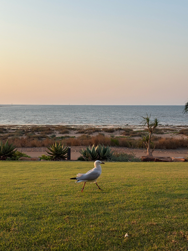
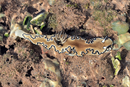
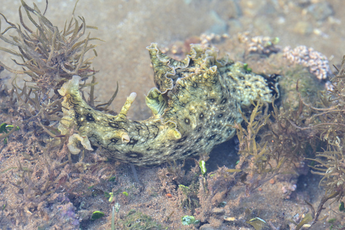
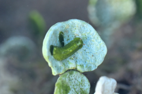
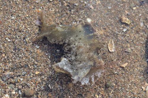
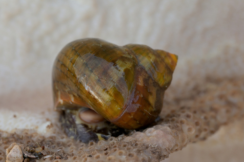
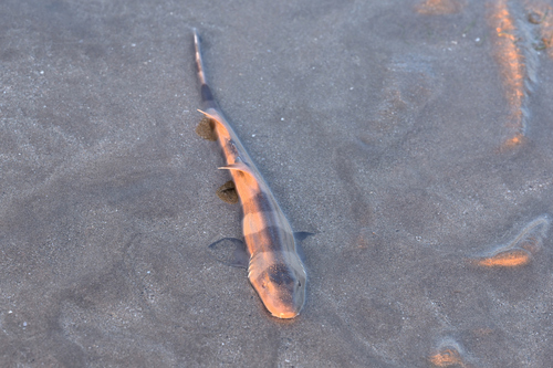
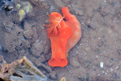
Research-grade observations from iNaturalist (within ~15 mi).
Events
Gallery
Sources
- • Wikipedia
- • Wikidata
- • USGS Earthquake Catalog (global feed)
- • GBIF (Global Biodiversity Information Facility)
- • iNaturalist
- • Open-Meteo / sunrise-sunset.org
- • Wikipedia Pageviews API
- • Open Library