Browse / Australia / Queensland / Quamby
Quamby
Queenslandhamlet
Demographic figures from Australian Bureau of Statistics. Overview below cites Wikipedia and may reference a different year.
City facts
Overview
Quamby is a rural town in the Shire of Cloncurry in Northwest Queensland, Australia. It is 44 kilometres from the town of Cloncurry. The town rests on the eastern side of the Burke Developmental Road and these days consists of a solitary hotel, fifteen 'dongas' and a handful of sheds, watertanks and memorabilia from nearby stations.
Read more on WikipediaHistory & geography
History
The Quamby hotel was originally built as a customs house in the 1860s and converted to a hotel somewhere around 1921. It was also used as a staging post for Cobb & Co stagecoaches who required fresh teams of horses every 10 – 30 miles. The Quamby State School operated from 1924 until 1969. In the 1930s, the town is reputed to have had 40 homes but the demise of the railway saw most of the existing buildings relocated as is common with the stumped, timber-frame houses of north Queensland. In 1934, Quamby was also the scene of what was described at the time as a 'Shooting Affray'. Mr Charles Cameron, a schoolteacher, shot Mr James Croke after a dispute in Mr Croke's home. Croke was taken to hospital in a critical condition while Charles Cameron was later found dead in his hotel room at The Quamby Hotel. The police noted a pea rifle was nearby.
Geography
Quamby is within to the Parish of Corella in the County of Beaconsfield.
Excerpted from the corresponding Wikipedia article (CC BY-SA).
Geography
Coordinates & boundaries from the US Census TIGER/Line shapefiles.
Climate
Air quality
Walkability
Amenities nearby
Wildlife & biodiversity
Most-observed species
- Black-faced WoodswallowArtamus cinereus Vieillot, 1817 · Aves20
- White-winged TrillerLalage tricolor (Swainson, 1825) · Aves20
- Brown HoneyeaterLichmera indistincta (Vigors & Horsfield, 1827) · Aves18
- Rufous WhistlerPachycephala rufiventris (Latham, 1802) · Aves18
- Willie-wagtailRhipidura leucophrys (Latham, 1802) · Aves17
- Singing HoneyeaterGavicalis virescens (Vieillot, 1817) · Aves16
- Rufous SonglarkMegalurus mathewsi (Iredale, 1911) · Aves15
- BudgerigarMelopsittacus undulatus (Shaw, 1805) · Aves14
Citizen-science & research observations from the Global Biodiversity Information Facility (GBIF).
Earthquake history
Events from the USGS Earthquake Catalog (global) (FDSN Event Web Service).
Photos
Sights & places nearby
Notable people from here
Nearby places in Queensland
- Kajabbi28.4 mi away
- Burke and Wills79.4 mi away
- Mount Dore Village90.7 mi away
- Julia Creek96.6 mi away · pop. 377
- The Monument99.2 mi away
- Cannington Mine110.7 mi away
- Kynuna134.7 mi away
- Riversleigh136.7 mi away
- Camooweal143.7 mi away · pop. 152
- Urandangi153 mi away
- Middleton159.1 mi away
- Richmond186.5 mi away · pop. 459
Geography & sun
Elevation, sunrise/sunset and daylight from Open-Meteo. Solar climatology from NASA POWER.
Nearby airports
Public attention
Pageview totals from the Wikimedia Pageviews API.
Books about this place
Recent natural events nearby
Ground air-quality sensors
Recently spotted species
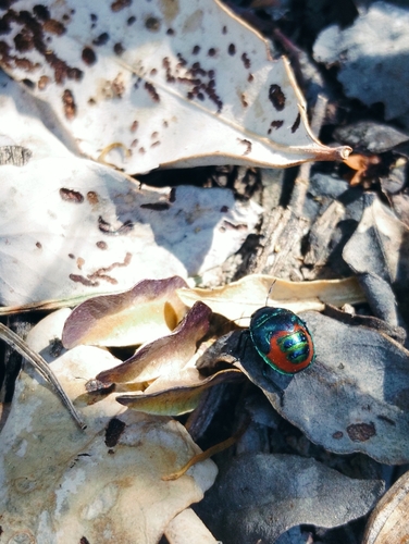
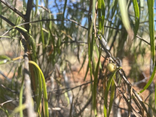
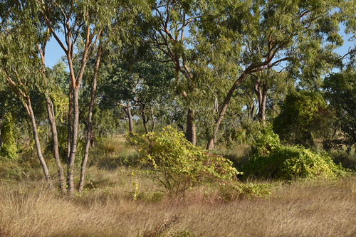
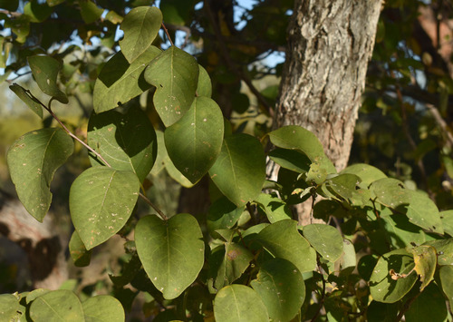
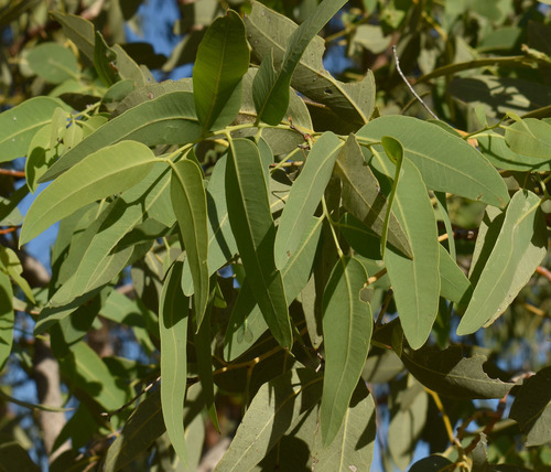
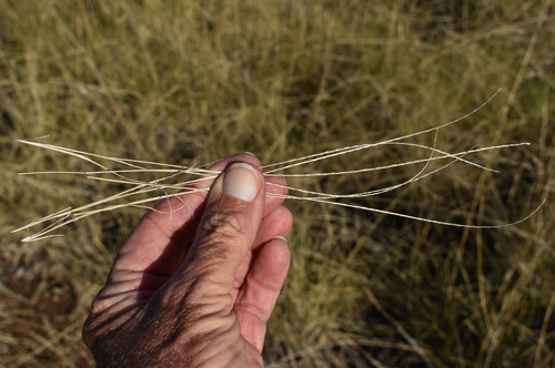
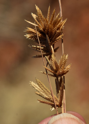
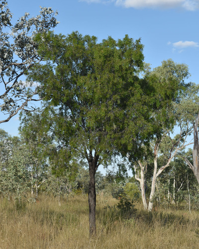
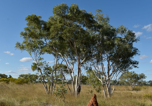
Research-grade observations from iNaturalist (within ~15 mi).
Events
Gallery
Sources
- • Wikipedia
- • Wikidata
- • USGS Earthquake Catalog (global feed)
- • GBIF (Global Biodiversity Information Facility)
- • iNaturalist
- • Open-Meteo / sunrise-sunset.org
- • Wikipedia Pageviews API