Browse / Australia / Victoria / Simpson
Simpson
Victoriavillage

Simpson
Total population
166
Air quality index
Demographic figures from Australian Bureau of Statistics. Overview below cites Wikipedia and may reference a different year.
City facts
Overview
Simpson is a town in the Western District of Victoria Australia. The town is in a dairying region and lies about halfway between Colac and the coastal fishing resort of Port Campbell. Most of the town is located in the Corangamite Shire, but a small, forested section lies in the Shire of Colac Otway. Simpson is 20 kilometres (12 mi) south of Cobden. At the 2016 census, Simpson had a population of 569.
Read more on WikipediaHistory & geography
History
Simpson was part of the Heytesbury Settlement. The Heytesbury region was settled as part of a returned soldier program. In 1960 the first settlers took up their farms, Simpson Post Office opened on 4 September 1962 as the population grew, and by 1976 there were 378 families in occupation with further families to follow as more land was cleared. The amount of the Heytesbury Settlement developed to pasture was . The Heytesbury Shire established a committee to help promote the scheme in collaboration with the Colac and Otway Shire councils. In 1946 an advisory committee was appointed by the Soldier Settlement Commission. This committee associated itself with several government departments with the intention of establishing an operation of an experimental area which was started in 1947. The potential of this country for pastures was overwhelming, the project commenced in 1956. Jack Shepherd owner of a local earth moving business won the contract to build the first 5 miles (8 km) of gravel road (now sealed) into the settlement, branching off from the Scotts Creek- Colac Road as it was then called. He then went on to build a number of dams for the farmers and buying and selling the farmers' calves in Colac.
Excerpted from the corresponding Wikipedia article (CC BY-SA).
Geography
Coordinates & boundaries from the US Census TIGER/Line shapefiles.
Climate
Air quality
Current readings from Open-Meteo Air Quality API (Copernicus CAMS European reanalysis).
Walkability
Amenities nearby
Wildlife & biodiversity
Most-observed species
- Superb FairywrenMalurus cyaneus (Ellis, 1782) · Aves975
- Australian MagpieGymnorhina tibicen (Latham, 1802) · Aves958
- Gray FantailRhipidura albiscapa Gould, 1840 · Aves762
- Gray ShrikethrushColluricincla harmonica (Latham, 1802) · Aves730
- Little RavenCorvus mellori Mathews, 1912 · Aves714
- Crimson RosellaPlatycercus elegans (Gmelin, 1788) · Aves700
- Eurasian BlackbirdTurdus merula Linnaeus, 1758 · Aves629
- European StarlingSturnus vulgaris Linnaeus, 1758 · Aves571
Citizen-science & research observations from the Global Biodiversity Information Facility (GBIF).
Earthquake history
Most recent
- M 4.1 — 2026-07-0528 km WNW of Apollo Bay, Australia
- M 3.5 — 2023-10-2110 km NW of Apollo Bay, Australia
- M 4.8 — 2023-10-2116 km WNW of Apollo Bay, Australia
- M 3.5 — 2005-06-3059 km S of Port Fairy, Australia
Events from the USGS Earthquake Catalog (global) (FDSN Event Web Service).
Photos
Sights & places nearby
Notable people from here
Nearby places in Victoria
- Scotts Creek9.2 mi away
- Swan Marsh12.6 mi away · pop. 121
- Princetown14 mi away
- Port Campbell14.3 mi away · pop. 231
- Weerite16.7 mi away
- Gellibrand18.1 mi away · pop. 84
- Camperdown18.5 mi away · pop. 2,884
- Curdievale19 mi away
- Peterborough19.4 mi away
- Johanna20.2 mi away
- Nirranda South22.4 mi away
- Coragulac23 mi away · pop. 171
Geography & sun
Elevation, sunrise/sunset and daylight from Open-Meteo. Solar climatology from NASA POWER.
Nearby airports
Public attention
Pageview totals from the Wikimedia Pageviews API.
Books about Simpson



Search results from Open Library.
Recent natural events nearby
Ground air-quality sensors
Recently spotted species
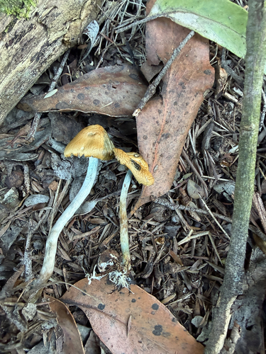
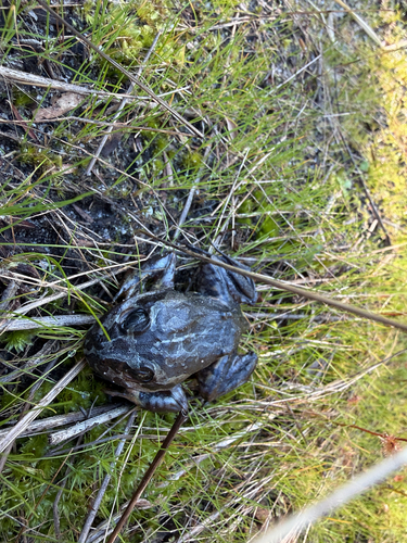
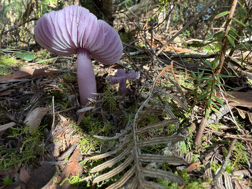
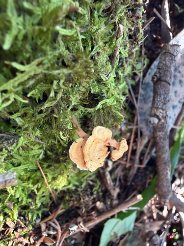
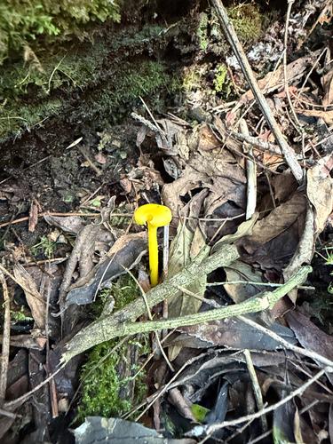
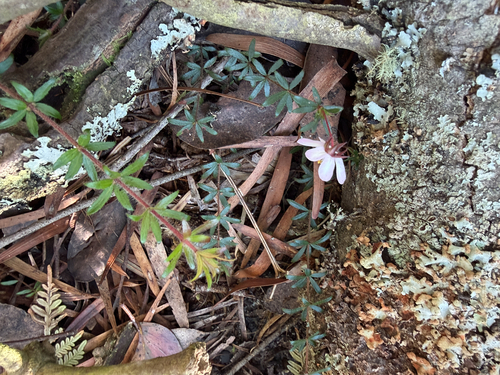
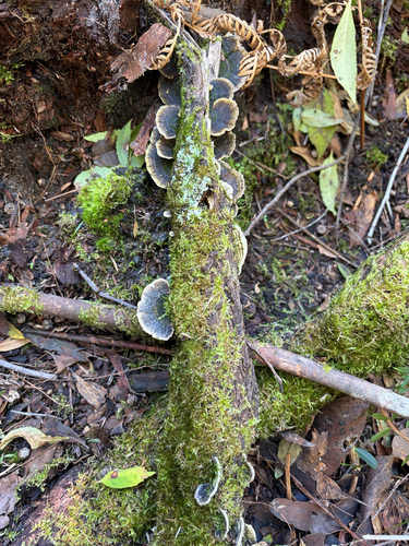
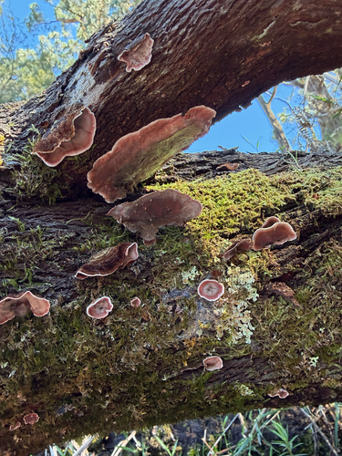
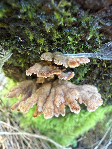
Research-grade observations from iNaturalist (within ~15 mi).
Events
Gallery
Sources
- • Wikipedia
- • Open-Meteo Air Quality (CAMS)
- • USGS Earthquake Catalog (global feed)
- • GBIF (Global Biodiversity Information Facility)
- • iNaturalist
- • Open-Meteo / sunrise-sunset.org
- • Wikipedia Pageviews API
- • Open Library